Fishermans Bend Nature Reserve is located 1.5km south-west of the town of Stuarts Point and 30km north-east of Kempsey. It covers an area of 160 hectares, and is in two separate sections.
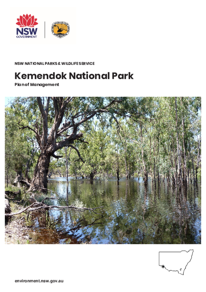
Kemendok National Park fronts the Murray River approximately 40 kilometres south-east of Buronga, in the far west of New South Wales. The park covers approximately 9874 hectares and is in the traditional Country of the Kureinji People.
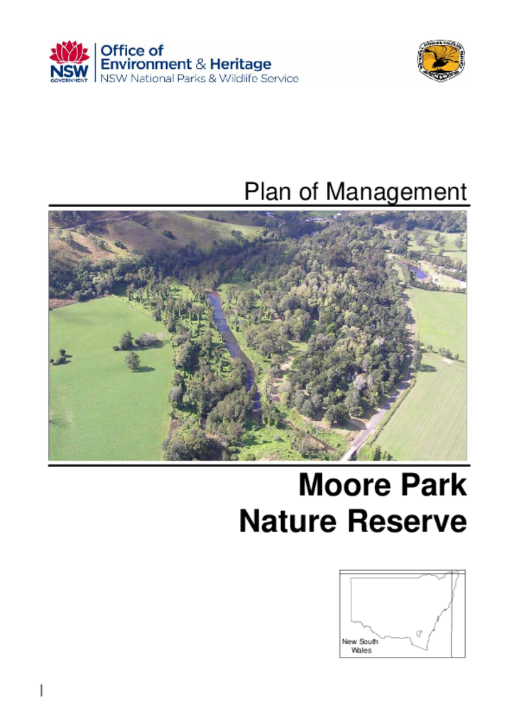
Moore Park Nature Reserve covers an area of around 15 hectares in three separate portions. It is located near the village of Old Grevillea, north-west of Kyogle, in the Northern Rivers Region of New South Wales.
Tucki Tucki Nature Reserve is located approximately 15 kilometres south-east of Lismore and 5.5 kilometres south of Wyrallah in northern New South Wales. The reserve comprises 2 separate portions totalling 4.47 hectares.
Careunga Nature Reserve covers an area of 469.4 hectares and was formerly Careunga State Forest. It is located in the North-West Plains of New South Wales, 41 kilometres north by road of the town of Ashley in the Moree Plains Shire.
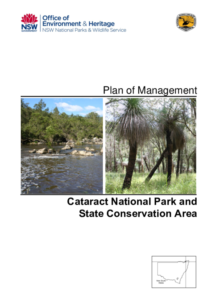
Cataract National Park and State Conservation Area are located 100 kilometres north-east of Tenterfield and cover a combined area of over 4000 hectares along the eastern escarpment of the Great Dividing Range.
Downfall Nature Reserve is located 26 kilometres west of Batlow and 9 kilometres north of the small town of Rosewood. The reserve was gazetted in 2001 as part of the Southern Regional Forest Agreement and covers an area of 496 hectares.
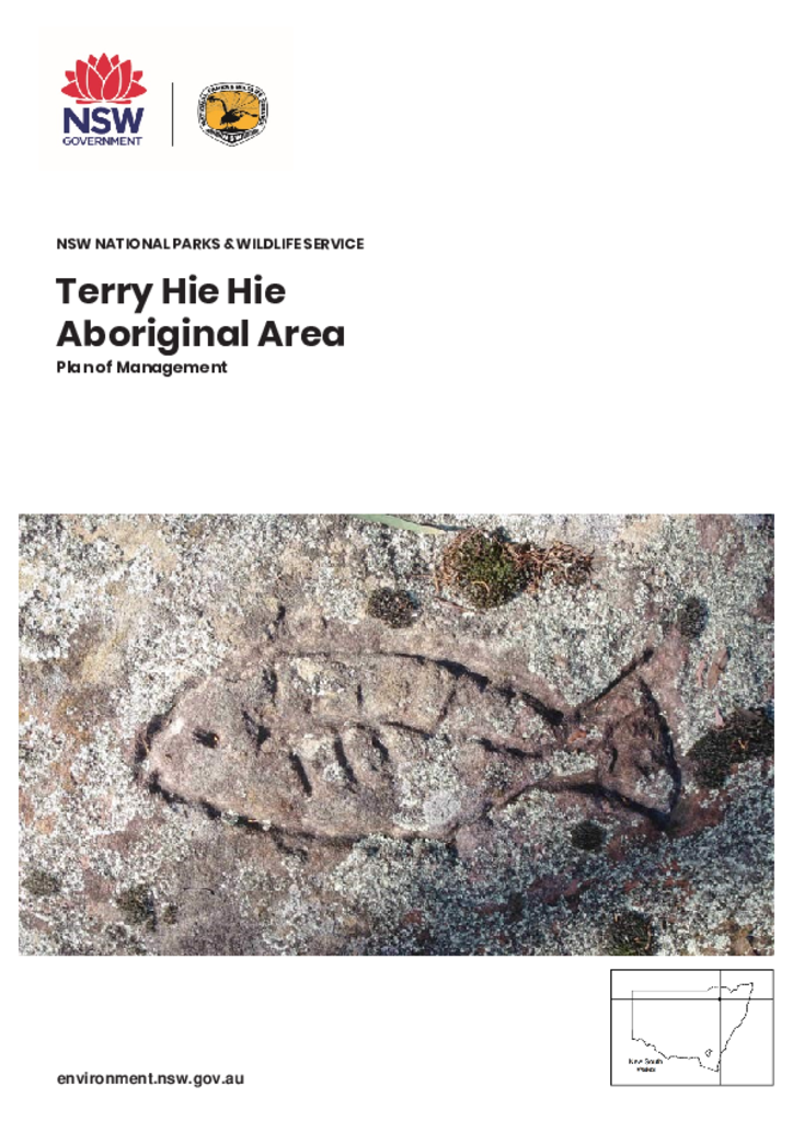
Terry Hie Hie Aboriginal Area lies within the traditional Country of the Gamilaroi People, on the western slopes of the northern extension of the Nandewar Range, on the western side of the New England Tableland. The Aboriginal Area encompasses 15,382 hectares in 6 separate sections around the small village of Terry Hie Hie, approximately 50 kilometres south-east of Moree in north-east NSW.
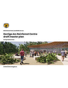
This master plan proposes a new Dorrigo Arc Rainforest Centre that will cater for the forecast increasing visitor numbers to the national park and inspire destination travel to the region.