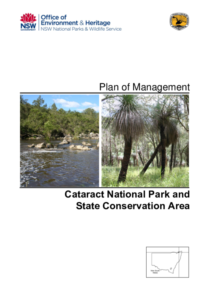
Cataract National Park and State Conservation Area are located 100 kilometres north-east of Tenterfield and cover a combined area of over 4000 hectares along the eastern escarpment of the Great Dividing Range.
Downfall Nature Reserve is located 26 kilometres west of Batlow and 9 kilometres north of the small town of Rosewood. The reserve was gazetted in 2001 as part of the Southern Regional Forest Agreement and covers an area of 496 hectares.
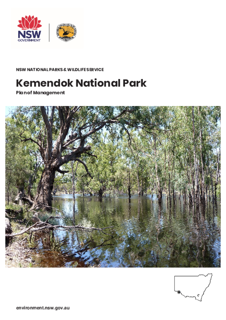
Kemendok National Park fronts the Murray River approximately 40 kilometres south-east of Buronga, in the far west of New South Wales. The park covers approximately 9874 hectares and is in the traditional Country of the Kureinji People.
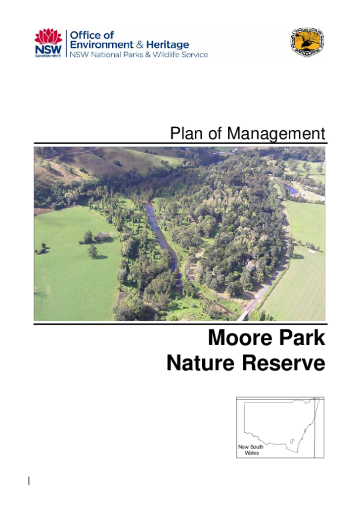
Moore Park Nature Reserve covers an area of around 15 hectares in three separate portions. It is located near the village of Old Grevillea, north-west of Kyogle, in the Northern Rivers Region of New South Wales.
Mudjarn Nature Reserve is located two kilometres south of Brungle and 15 kilometres north of Tumut on the South West Slopes of New South Wales. It consists of two parcels of land totalling 591 hectares and forms part of a broader fragmented native landscape in an otherwise heavily cleared environment.
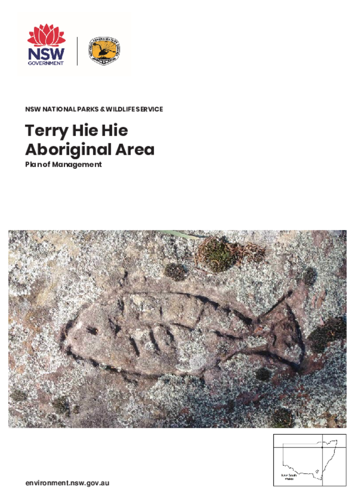
Terry Hie Hie Aboriginal Area lies within the traditional Country of the Gamilaroi People, on the western slopes of the northern extension of the Nandewar Range, on the western side of the New England Tableland. The Aboriginal Area encompasses 15,382 hectares in 6 separate sections around the small village of Terry Hie Hie, approximately 50 kilometres south-east of Moree in north-east NSW.
Tucki Tucki Nature Reserve is located approximately 15 kilometres south-east of Lismore and 5.5 kilometres south of Wyrallah in northern New South Wales. The reserve comprises 2 separate portions totalling 4.47 hectares.
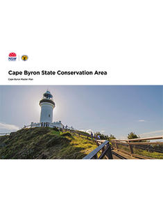
The Arakwal people jointly manage the Cape Byron State Conservation Area with the National Parks and Wildlife Service as members of the Cape Byron Trust, together with other community members. This master plan provides the joint management of this park with a clear vision to plan for the future challenges and opportunities that tourism presents the Byron Bay community.
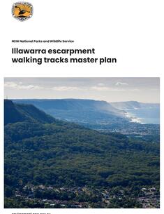
This master plan provides a blueprint for the development of a sustainable walking track network on the Illawarra escarpment. It aims to ensure opportunities for bushwalking on the escarpment that are safe and consistent with environmental, cultural and social values.