Lennox Head Aboriginal Area is located on the Far North Coast of NSW, within the village of Lennox Head. The reserve is 0.3 hectares in size and was gazetted in 1972 to protect the cultural heritage values of the Ceremonial Ring.
Maryland National Park is located on the granitic northern tablelands close to the Queensland border, in the Shire of Tenterfield. The park was formerly Maryland State Forest and was gazetted as a national park on 1 March 1999.
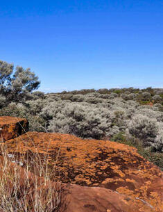
The Mount Grenfell Historic Site and adjoining reserves are located about 70 kilometres north-west of Cobar in the dry sparsely populated country of the Cobar Peneplain — it is ‘red Country’.
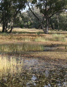
Munro Island Nature Reserve is located in the Clarence River, on the north coast of NSW. The reserve, which includes all of Munro Island down to the mean low water mark, is currently approximately 27 hectares in size. Munro Island is one of only four islands included in the protected area system out of the forty islands within the Clarence River system.
Narran Lake Nature Reserve is located in the central north of NSW, between Brewarrina and Walgett. It has an area of 5,538 hectares. A further 3,547 hectares owned by the Service adjoining the south-eastern boundary of the nature reserve is managed as an integral part of the nature reserve.
Torrington State Conservation Area is located on the western fall of the New England Tablelands in northern New South Wales, approximately 65 kilometres north-west of Glen Innes.
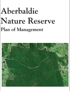
Aberbaldie Nature Reserve is located on the Northern Tablelands of NSW, approximately 19 kilometres south west of Walcha. The reserve is 284 hectares in size and was reserved in 2003.
Abercrombie River National Park covers approximately 19,000 hectares and is located 40 kilometres south-west of Oberon and 60 kilometres north of Goulburn. The park includes the catchments of Silent Creek and the Retreat River, as well as a 42 kilometre section of the Abercrombie River.