Arakoon State Recreation Area became Arakoon National Park in October 2010 and comprises a beautiful stretch of coastline north-east of Kempsey on the north coast and is adjacent to the holiday centres of South West Rocks and Arakoon.
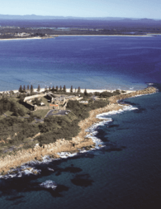
Arakwal National Park is located approximately 2 kilometres south-east of the township of Byron Bay on the far north coast of New South Wales. The park is 185.2 hectares in size and includes a 3 kilometre stretch of Tallow Beach to mean low water mark.
The Gibraltar Range Group of Parks includes Barool, Capoompeta, Gibraltar Range, Nymboida and Washpool National Parks and Nymboida and Washpool State Conservation Areas. These five national parks and two state conservation areas are located on the Gibraltar Range half way between Glen Innes and Grafton, and are transected by the Gwydir Highway. They are considered together in this plan because they are largely contiguous and have similar management issues.
Hat Head National Park was reserved in 1972 and is located on the North Coast of NSW between the village of Crescent Head and the town of South West Rocks. The park is entirely within the Kempsey Shire and is approximately 500 kilometres from both Sydney and Brisbane.
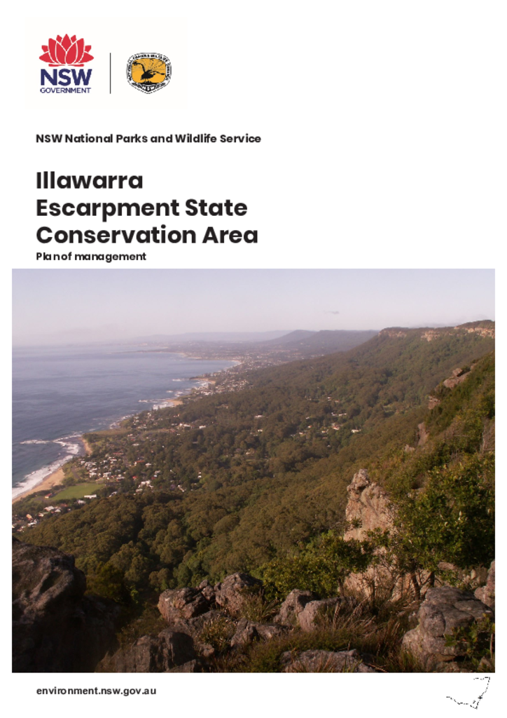
The Illawarra Escarpment State Conservation Area protects 2772 hectares of escarpment between Stanwell Park and Dapto. Located approximately 60 kilometres south of Sydney, the escarpment extends for 50 kilometres from Royal National Park in the north, to Budderoo National Park and Barren Grounds Nature Reserve in the south.
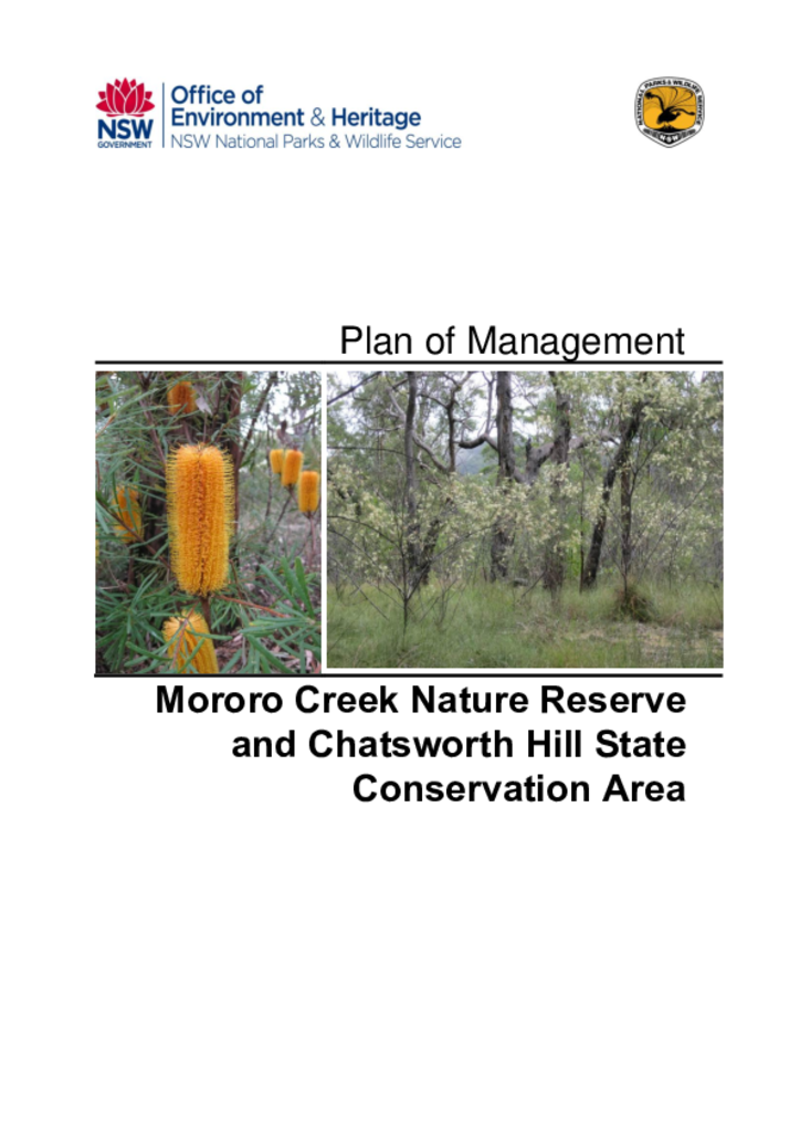
Mororo Creek Nature Reserve and Chatsworth Hill State Conservation Area are located north-east of Grafton and inland from Yamba in north-eastern New South Wales. Mororo Creek Nature Reserve covers an area of 80 hectares and Chatsworth Hill State Conservation Area covers 510 hectares.
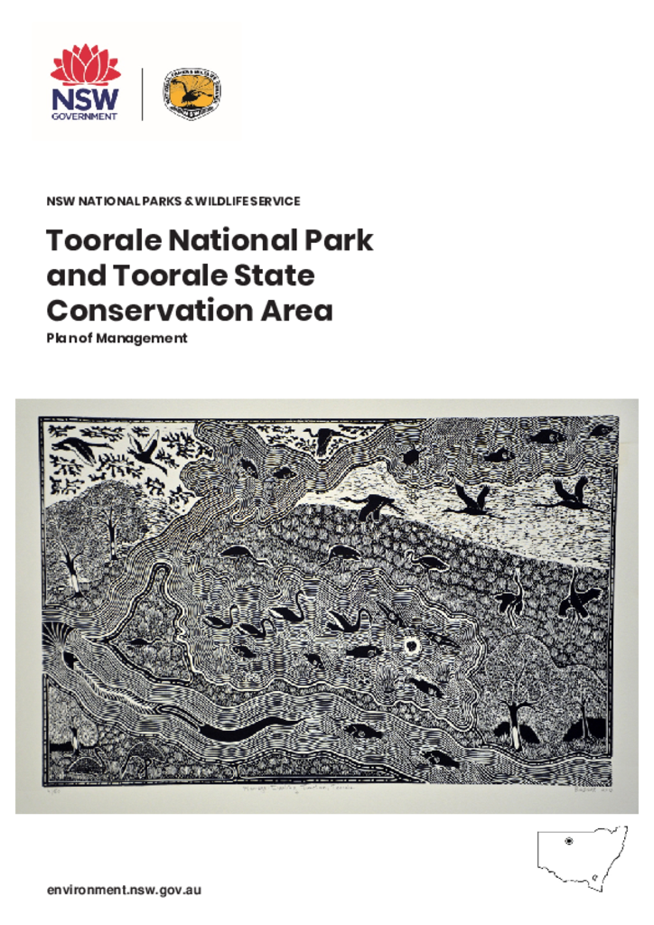
Toorale National Park and Toorale State Conservation Area are within the Country of the Kurnu-Baakandji People at the junction of the Darling and Warrego rivers in north west NSW. Together, these parks cover 85,251 hectares and provide protection for important cultural heritage sites and unique conservation values.
Weddin Mountains National Park lies 20 kilometres south-west of Grenfell in the Central West of NSW. The park is a prominent mountain range rising 400 metres above the surrounding plains.
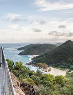
The Tomaree Coastal Walk will allow visitors to undertake an iconic 20-kilometre walking experience that links Tomaree Head and the rocky coast and sheltered beaches of Tomaree National Park, with Birubi Point at the southern end of the walk.
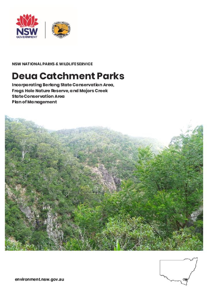
Berlang State Conservation Area, Frogs Hole Nature Reserve and Majors Creek State Conservation Area are located approximately 40 kilometres west of Batemans Bay, seven kilometres west of Araluen and 20 kilometres south of Braidwood. The parks are in the NSW Southern Tablelands in the catchment of the Deua River.