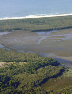
Cudgen Nature Reserve is 464 hectares in extent and is located on the Tweed Coast in far north-eastern NSW. The nature reserve is part of a remnant of native vegetation which is recognised as the only area large enough to be capable of providing long term protection to native plant and animal communities on the Tweed Coast.
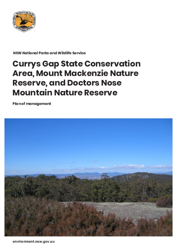
Currys Gap State Conservation Area, Mount Mackenzie Nature Reserve and Doctors Nose Mountain Nature Reserve are located on the Northern Tablelands of New South Wales, south west of Tenterfield. Currys Gap State Conservation Area covers an area of 227 hectares, Mount Mackenzie Nature Reserve is 141 hectares in size, and Doctors Nose Mountain Nature Reserve is 66 hectares.
Duval Nature Reserve is located on the central New England Tablelands, approximately 15 kilometres north of Armidale. The reserve encompasses the eastern section of the summit plateau and steep southerly and easterly slopes of Mount Duval, which is a prominent landscape feature in the area.
The park is located 38 kilometres, by road, west of the town of Barraba and 10 kilometres east of Mount Kaputar National Park on the north-west slopes of the New England Tablelands in New South Wales.
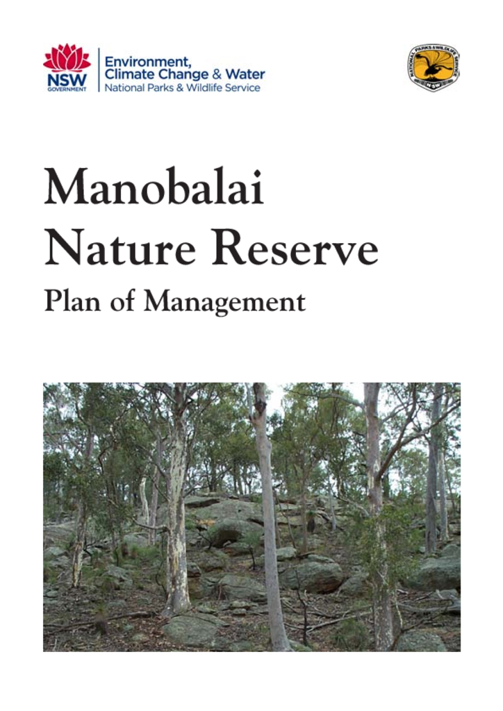
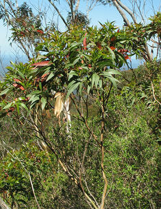
Manobalai Nature Reserve is located 20 kilometres west of Muswellbrook and about 200 kilometres north-west of Sydney. The reserve is 3758 hectares in size and directly adjoins a large area of Crown land to the south. The nature reserve and Crown land form part of an important vegetation corridor, with Goulburn River National Park to the south-west and Wollemi National Park to the south.
Mount Imlay National Park is located in the far south coast hinterland of New South Wales, approximately 20 kilometres south-west of Eden. It has an area of 3,808 hectares and consists of steep, deeply dissected forested country around the peak of Mount Imlay.
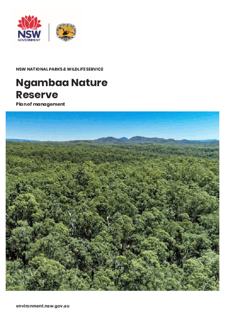
Ngambaa Nature Reserve is located approximately 10 kilometres south-west of Macksville and 16 kilometres north-west of Kempsey, on the mid-north coast of New South Wales. The reserve covers an area of approximately 10,560 hectares.
Yanununbeyan National Park, Yanununbeyan Nature Reserve and Yanununbeyan State Conservation Area are located 25 kilometres south-east of Queanbeyan and 5 kilometres north-west of Captains Flat. The national park (3,500 hectares) and nature reserve (40 hectares) were gazetted in 2001, and the state conservation area (4,135 hectares) was gazetted in 2003.
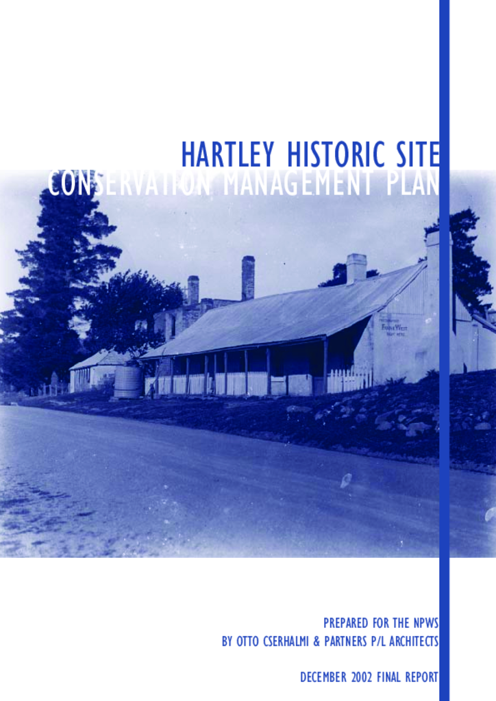
The township of Hartley lies on the western edge of the Blue Mountains, 12 kilometres south of Lithgow. It is a rare surviving collection of vernacular buildings, which were built around 1840-1860. The town developed and became successful as populations spread west of the Blue Mountains with the regulation of land allocation.
Bournda National Park and Bournda Nature Reserve are located on the far south coast of NSW between Tathra and Merimbula, approximately 15 km southeast of Bega. Together they have an area of 8678 hectares and protect a range of environments including coastal range, hills, plain, dissected plateau and estuaries.