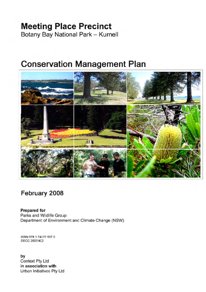
A NSW Government website

Park management documents

Filter results
Showing results 531 - 540 of 1467 results
Preview Image
01 Aug 2009
PDF 4.04 MB
The Bendethera homestead precinct is a former pastoral settlement that is now part of Deua National Park in the south coast region of NSW. This plan sets out how to best manage and conserve this historic heritage place and landscape.
Conservation management plan Final
Preview Image
04 May 2022
PDF 2.66 MB
Doodle Comer Swamp Nature Reserve is located on the outskirts of Henty, midway between Albury and Wagga Wagga in southern NSW. The reserve encompasses about half of Doodle Comer Swamp, an ephemeral wetland listed in the National Directory of Important Wetlands.
Plan of management Final
01 Dec 1987
PDF 69.64 KB
Crowdy Bay National Park is located on the mid-north coast of New South Wales, some 25 kilometres north-east of Taree. The park was reserved in 1972 and it extends from Crowdy Head/Harrington in the south to Dunbogan/Laurieton in the north.
Plan of management Final
Preview Image
28 Jul 2021
PDF 2 MB
Yarriabini National Park covers 2,192 hectares of land and is located on the mid-north coast of New South Wales, about 10 kilometres south of Macksville between the villages of Stuarts Point, Scotts Head and Warrell Creek.
Plan of management Final
Preview Image
01 Dec 2010
PDF 715.64 KB
Duroby Nature Reserve is located approximately eight kilometres north-east of Murwillumbah, in the lower Tweed Valley on the Far North Coast of New South Wales. It was established in 2006 and has an area of 31.34 hectares.
Plan of management Final
Preview Image
01 Feb 2012
PDF 882.99 KB
Corramy Regional Park is located on the south coast of New South Wales, 24 kilometres south of Nowra. It was gazetted as a regional park in 2010 and has an area of 292 hectares. The park was formerly part of Corramy State Conservation Area, which was established in 2001.
Plan of management Final
Preview Image
15 Dec 2022
PDF 4.62 MB
Kemps Creek Nature Reserve is located in south-west Sydney in the suburb of Cecil Park, approximately 12 kilometres west of Liverpool. The nature reserve is in the Country of the Cabrogal people of the Darug Nation.
Plan of management Final
Preview Image
24 Feb 2022
PDF 3.02 MB
Hill End Historic Site is located in the Central Tablelands of New South Wales, approximately 75 kilometres from Bathurst and 70 kilometres from Mudgee. The site is part of a living village conserving state-listed heritage from the 1850s gold rush era and a post-World War II artists’ colony. As well as the core of Hill End village, the site includes several dispersed former goldmining sites: Tambaroora, Golden Gully, Valentines Mine and the Quartz Roasting Pits.
Plan of management Final
07 Nov 1997
PDF 133.27 KB
Murramarang National Park and Brush Island, Belowla Island and Tollgate Islands Nature Reserves are located on the central part of the south coast of NSW between Ulladulla and Batemans Bay.
Plan of management Final
01 May 2004
PDF 202.73 KB
Imbota Nature Reserve is located on the eastern edge of the central New England Tablelands approximately 10 kilometres south-east of Armidale. The reserve, formerly the Eastwood State Forest, has an area of approximately 218 hectares and was dedicated in 1999.
Plan of management Final