Newington Nature Reserve is gazetted as a Nature Reserve under the National Parks and Wildlife Act (1974) (NPW Act), and is defined as part of the Parklands of Sydney Olympic Park by the Sydney Olympic Park Authority Act (2001) (SOPA Act). The reserve is managed by the Sydney Olympic Park Authority (the Authority) under the terms of a Memorandum of Understanding with the NSW National Parks and Wildlife Service (NPWS).
Yarriabini National Park covers 2,192 hectares of land and is located on the mid-north coast of New South Wales, about 10 kilometres south of Macksville between the villages of Stuarts Point, Scotts Head and Warrell Creek.
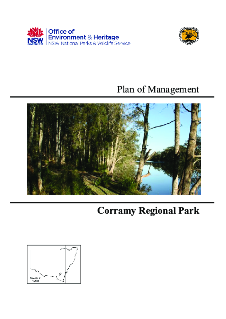
Corramy Regional Park is located on the south coast of New South Wales, 24 kilometres south of Nowra. It was gazetted as a regional park in 2010 and has an area of 292 hectares. The park was formerly part of Corramy State Conservation Area, which was established in 2001.
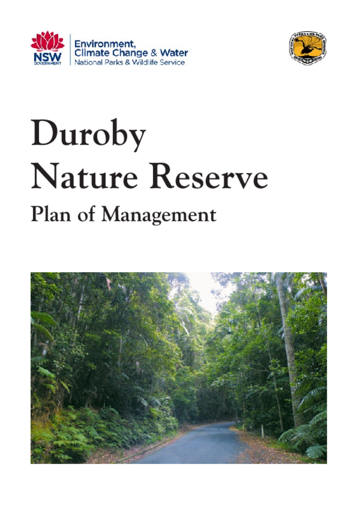
Duroby Nature Reserve is located approximately eight kilometres north-east of Murwillumbah, in the lower Tweed Valley on the Far North Coast of New South Wales. It was established in 2006 and has an area of 31.34 hectares.
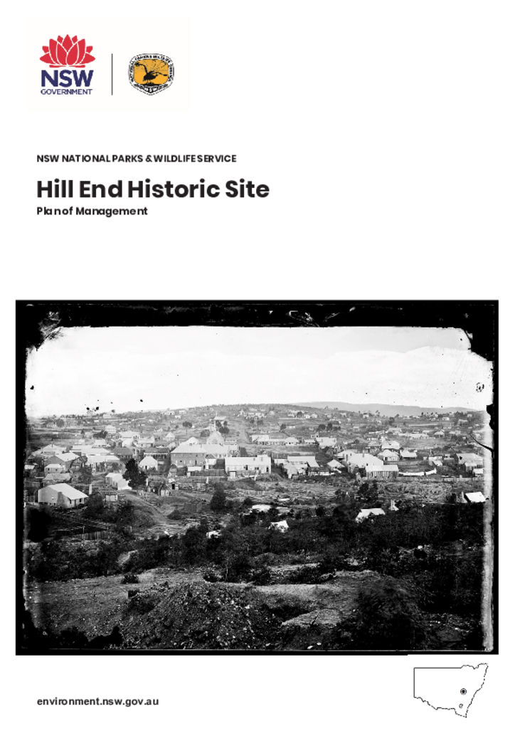
Hill End Historic Site is located in the Central Tablelands of New South Wales, approximately 75 kilometres from Bathurst and 70 kilometres from Mudgee. The site is part of a living village conserving state-listed heritage from the 1850s gold rush era and a post-World War II artists’ colony. As well as the core of Hill End village, the site includes several dispersed former goldmining sites: Tambaroora, Golden Gully, Valentines Mine and the Quartz Roasting Pits.
Imbota Nature Reserve is located on the eastern edge of the central New England Tablelands approximately 10 kilometres south-east of Armidale. The reserve, formerly the Eastwood State Forest, has an area of approximately 218 hectares and was dedicated in 1999.
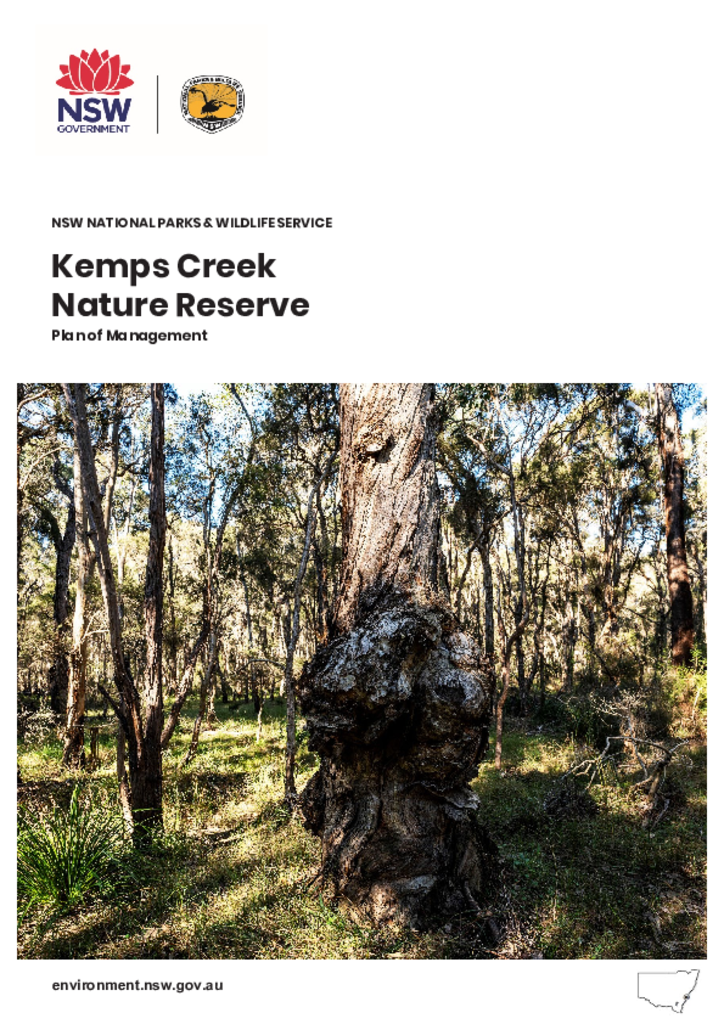
Kemps Creek Nature Reserve is located in south-west Sydney in the suburb of Cecil Park, approximately 12 kilometres west of Liverpool. The nature reserve is in the Country of the Cabrogal people of the Darug Nation.
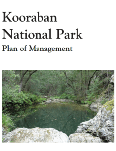
Kooraban National Park is located approximately 5 kilometres north of the township of Cobargo on the South Coast of NSW. It was reserved in 2001 and covers an area of 11,644 hectares.
Murramarang National Park and Brush Island, Belowla Island and Tollgate Islands Nature Reserves are located on the central part of the south coast of NSW between Ulladulla and Batemans Bay.
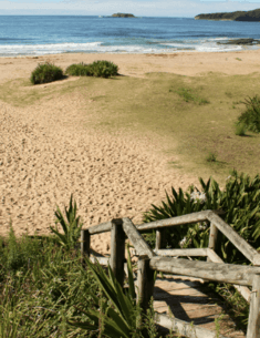
Yatteyattah Nature Reserve is located on the South Coast of NSW between Nowra and Milton, 2.5 kilometres west of Conjola Lake. It was gazetted in 1996 and has an area of 19 hectares.