Yuranighs Aboriginal Grave Historic Site is located on the central western slopes of NSW about 3 kilometres south-east of Molong between Orange and Wellington. It has an area of 1.2 hectares and access is gained off the road from Molong to Boree which runs south from the Mitchell Highway near Molong.
This plan of management amendment enables construction of the Snowies Iconic Walk on the Main Range, construction of the final stages of the shared-use Thredbo Valley Track, adaptive re-use of the Thredbo Ranger Station, and several further minor management and visitor improvements. These amendments were adopted by the Minister for the Environment on 4 October 2019.
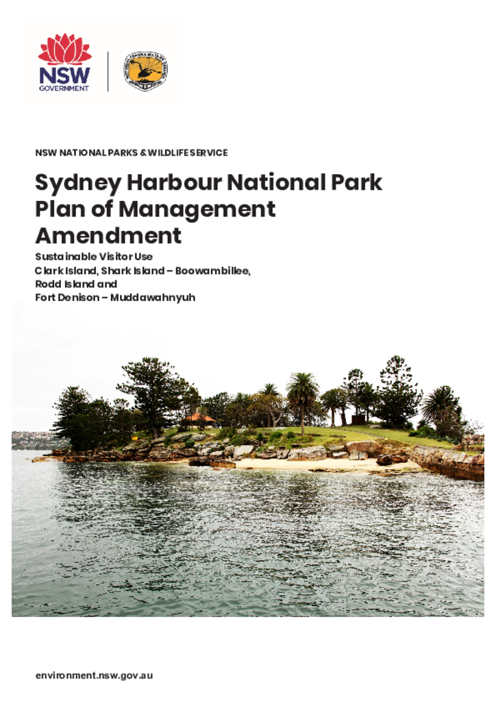
The amendment to the plan of management will enable the National Parks and Wildlife Service to increase opportunities for the public to enjoy the park and enrich the visitor experience through the revitalisation of the Sydney Harbour Islands.
Cattai National Park is a small but important national park located in and serving Western Sydney. It is situated on the Hawkesbury River near Windsor and consists of three areas: Cattai Park at the junction of Cattai Creek and the Hawkesbury River, Hope Farm which adjoins Cattai Park to the north, and Mitchell Park approximately 2.5 kilometres upstream along Cattai Creek.
Dharug National Park covers about 14,834 hectares and is located on the north bank of the Hawkesbury River opposite the small settlement of Wisemans Ferry, some 55 kilometres from of the centre of Sydney and 25 kilometres west of Gosford. Established in 1967, the park features spectacular sandstone cliff-lines and gullies, a substantial section of the historic Old Great North Road and many Aboriginal sites.
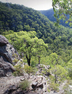
Minjary National Park is located 10 kilometres north west of Tumut on the South West Slopes of New South Wales. It consists of 1,462 hectares of undulating to steep, forested country that is surrounded entirely by freehold land. The park was formerly administered and managed by State Forests of NSW as Minjary State Forest.
The Basin Nature Reserve covers approximately 2,317 hectares and is located on the central New England Tablelands approximately 35 kilometres west of Guyra.
Bobundara, Ironmungy, Myalla, Wullwye, Paupong, Ngadang and Nimmo Nature Reserves are located in the area known geographically as 'The Monaro', an elevated plateau in the south east of NSW located between the Australian Alps and the coastal escarpment. The 7 reserves have a combined area of 3935 hectares and are situated west and south-west of Cooma.