Jingellic, Bogandyera and Clarkes Hill Nature Reserves are located on the south eastern highlands of NSW between the towns of Jingellic, Tumbarumba and the locality of Tooma.
Maynggu Ganai Historic Site is located at Wellington in Central West NSW and protects state-listed heritage values of former convict and Aboriginal mission sites established in the early 19th Century.
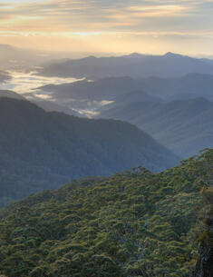
New England National Park, Baalijin Nature Reserve and Jobs Mountain Nature Reserve are located on the edge of the great Escarpment, about 70 kilometres east of Armidale and 45 kilometres south-west of Coffs Harbour. Collectively the parks cover 72,250 hectares of land and lie within the traditional Country of the Thunggutti (Dhanggati), Gumbaynggirr and Anaiwan Aboriginal peoples.
Pambalong Nature Reserve covers 34 hectares on the western side of the of the F3 freeway, approximately 20 kilometres north-west of Newcastle. The reserve was gazetted in December 2000 over former farmland acquired by the Roads and Traffic Authority during construction of the freeway.
The Rock Nature Reserve is located in the southern Riverina of New South Wales, approximately 6 kilometres west of the small township of The Rock on the Lockhart Road. The nearest main centres are Wagga Wagga and Lockhart. The reserve covers an area of 340.7 hectares.
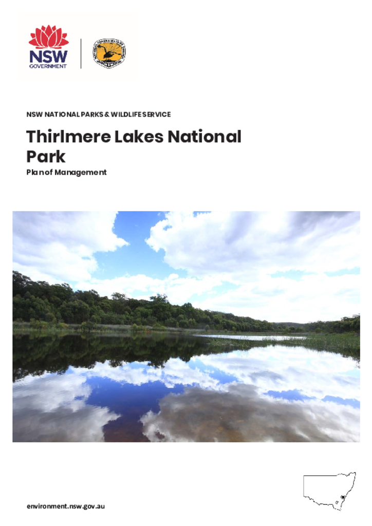
Thirlmere Lakes National Park encompasses 660 hectares and is located in the NSW Southern Highlands, approximately 90 kilometres south-west of Sydney and 10 kilometres from Picton. The park is adjacent to the villages of Thirlmere, Buxton and Couridjah and was established in 1972. It is part of the Warragamba Special Area which protects drinking water for Sydney, and forms part of the Greater Blue Mountains World Heritage Area.
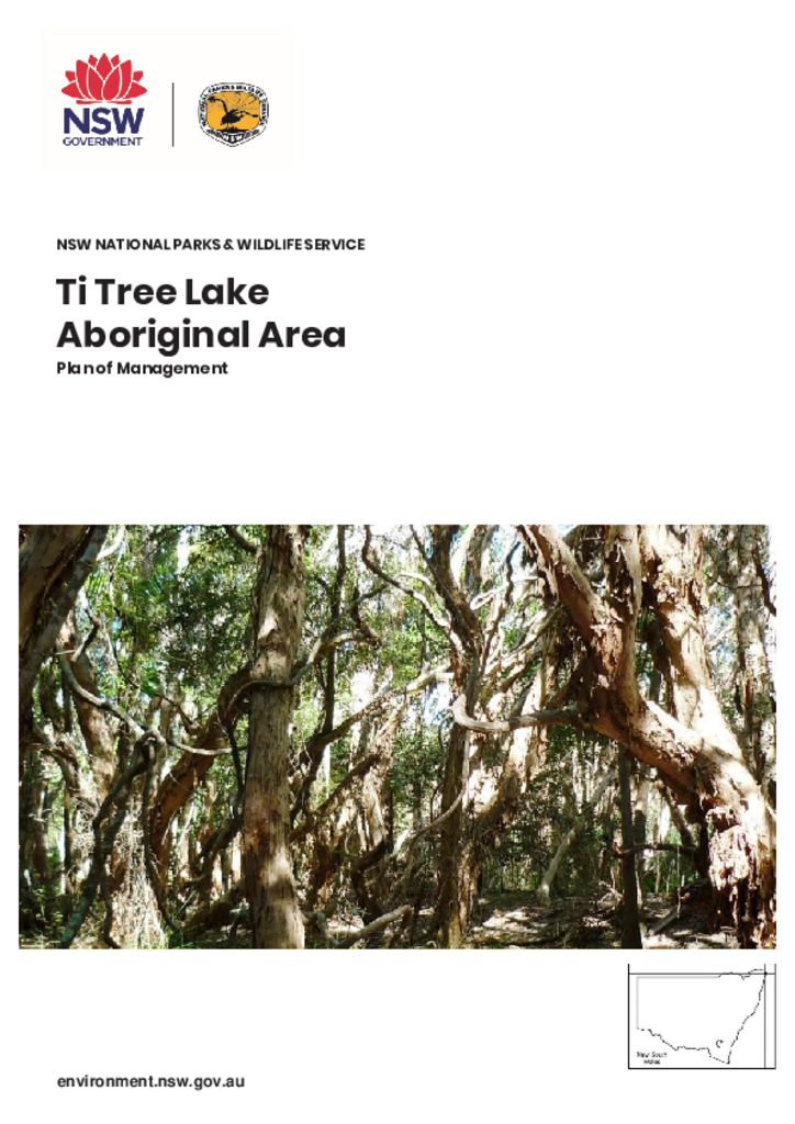
Ti Tree Lake Aboriginal Area is 10.5 hectares and is located 6 kilometres south of Byron Bay on the New South Wales Far North Coast. It is in the traditional Country of the Bundjalung of Byron Bay (Arakwal) people.
Tinderry Nature Reserve is located in the Southern Tablelands of NSW, approximately 25 kilometres south of Queanbeyan. It is about 12,796 hectares in size.
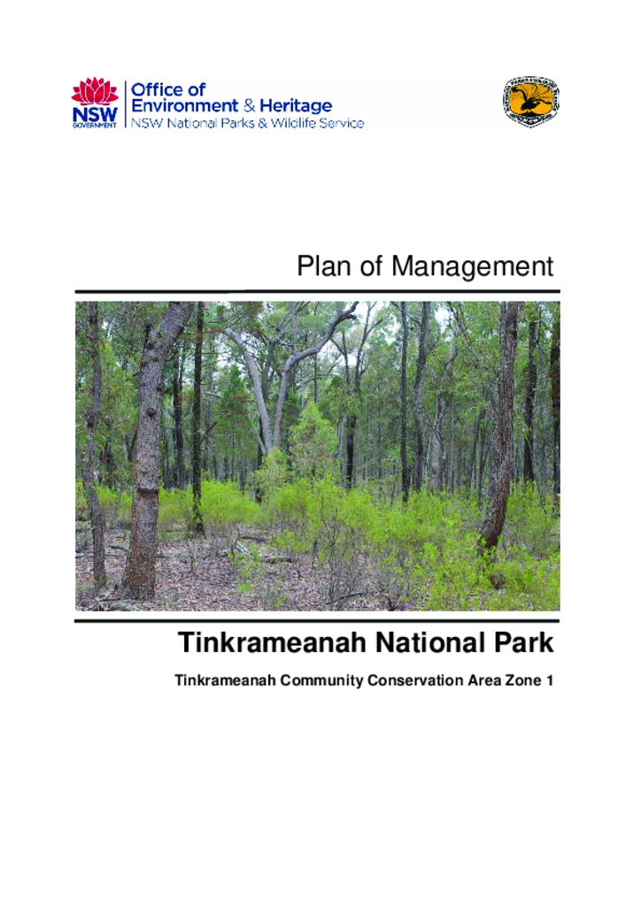
Tinkrameanah National Park covers 969 hectares and is located south-east of Coonabarabran in the Brigalow Belt South Bioregion. It was reserved as a national park (Community Conservation Area Zone 1) on 1 December 2005.