Toonumbar National Park, Richmond Range National Park, Mallanganee National Park and Hogarth Range Nature Reserve make up the parks and reserves of the northern Richmond Range. They are located in the north-east of New South Wales, approximately 50 kilometres west of Lismore. Kyogle and Casino to the east of the planning area are the nearest major centres.
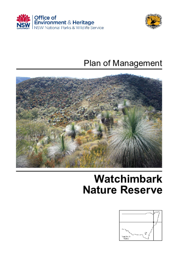
Watchimbark Nature Reserve covers an area of 744 hectares and is situated 40 kilometres north-west of Gloucester. It was purchased with Commonwealth National Reserve System funds in 2002 and reserved in 2006 to conserve the unique vegetation communities that occur on its serpentine geology and are not present in any other conservation reserve in NSW.
Mungo National Park lies on the site of two old pastoral stations, Mungo and Zanci pastoral stations, in the far southwest of NSW. This report assesses the significance of this pastoral history and historic heritage within Mungo National Park.
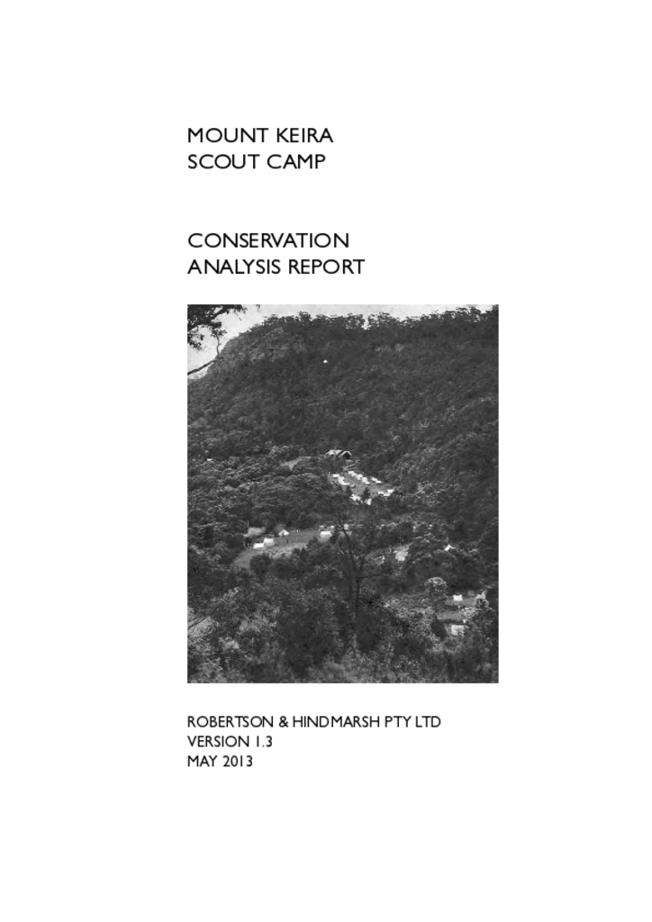
This conservation analysis report is the first stage in the process to identify and manage the unique built and natural heritage assets of the Mount Keira Scout Camp within the Illawarra Escarpment State Conservation Area.
Boonanghi Nature Reserve is located on the Mid North Coast of NSW, 18 kilometres west-north-west of Kempsey, on the southern side of the Macleay River. It is part of a major north-west running spur of Cooperabung Range.
Boorganna Nature Reserve covers 390 hectares and is located on the western edge of the Comboyne Plateau, approximately 35 kilometres south-west of Wauchope, 32 kilometres north of Taree and 6 kilometres west of the township of Comboyne.
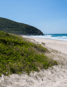
Booti Booti National Park includes the narrow sand barrier which separates Wallis Lake and the Pacific Ocean as well as the spectacular headlands of Cape Hawke to the north of Booti Hill and Charlotte Head to the south.
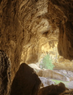
Borenore Karst Conservation Reserve is one of four karst conservation reserves managed by the Jenolan Caves Reserve Trust. The Trust is responsible to the NSW Minister for the Environment for the care, control and management of Jenolan, Abercrombie, Wombeyan and Borenore Caves in a manner that is environmentally, culturally and commercially sustainable.
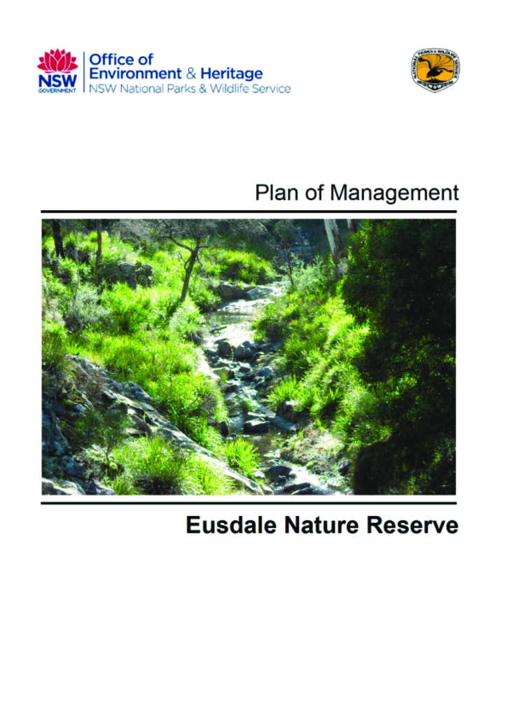
Eusdale Nature Reserve is located 30 kilometres south-east of Bathurst in the Central Tablelands of NSW and covers 1,238 hectares. There is an adjoining area of 642 hectares that is vested in the Minister for the Environment pending its reservation. This plan of management covers both Eusdale Nature Reserve and the adjoining land which is yet to be reserved.