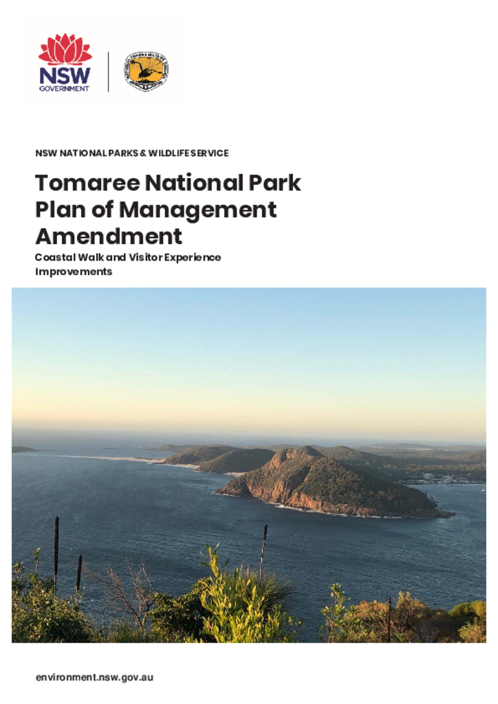
Tomaree National Park lies within the traditional Country of the Worimi People. The park is located in the Port Stephens region of New South Wales, approximately 45 kilometres north of Newcastle.
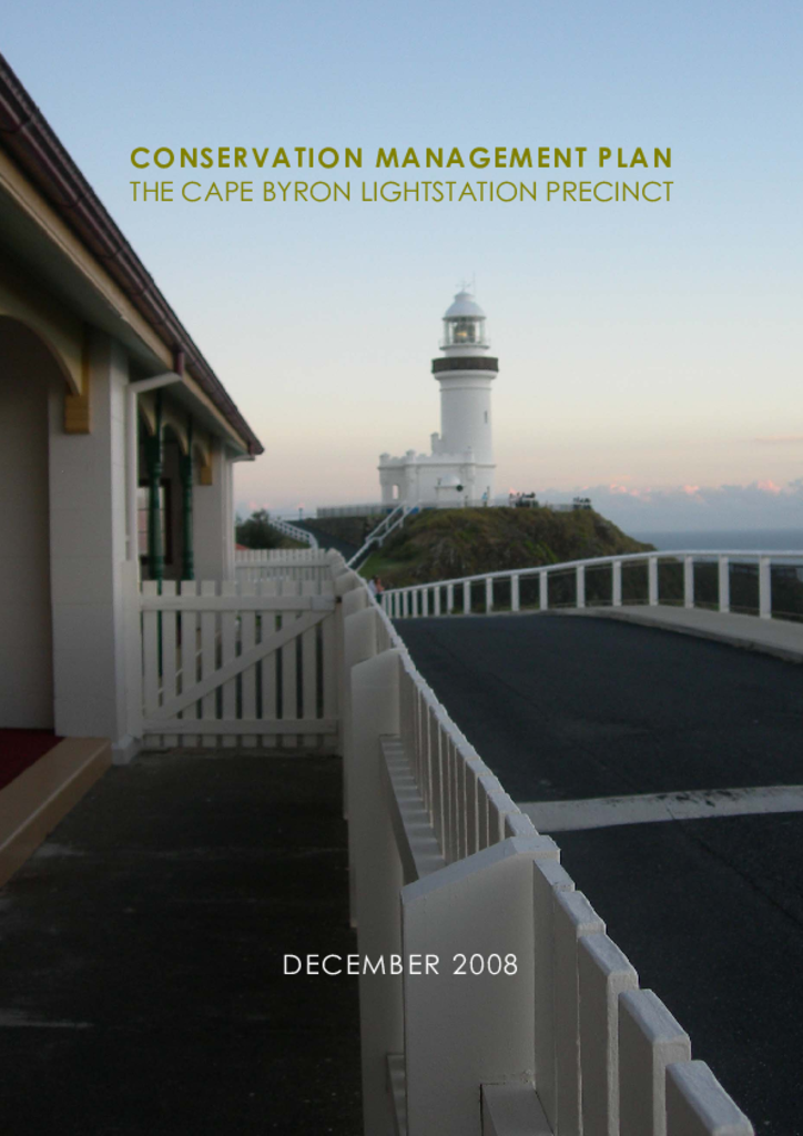
The Cape Byron Lightstation Precinct, as defined in this plan, is the area enclosed by fences on the high part of the Cape, and some small strips of land beyond the fences.
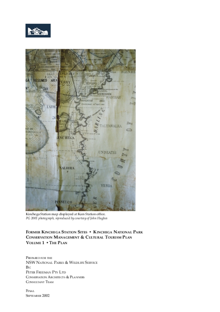
Kinchega National Park was once a large pastoral station in western NSW, and the park has a wealth of pastoral heritage. This conservation management and cultural tourism plan provides conservation, management and interpretation guidance for the former Kinchega Station sites within the park.
Hayters Hill Nature Reserve is located 5 kilometres south-west of Byron Bay on the far north coast of New South Wales. It is one of a few small nature reserves that conserve rainforests typical of the once extensive Big Scrub and is part of the country of the Bundjalung of Byron Bay (Arakwal) people.
This plan of management applies to what is now Murrumbidgee Valley Nature Reserve. It was created in July 2010 by combining two former reserves: Narrandera Nature Reserve and Yanga Nature Reserve. The reserve covers 71 hectares on the floodplains of the Murrumbidgee River near the town of Narrandera in the Riverina.
Tapin Tops National Park is located approximately 30 kilometres north-west of Wingham on the mid-north coast of New South Wales. The park covers an area of 10,828 hectares.