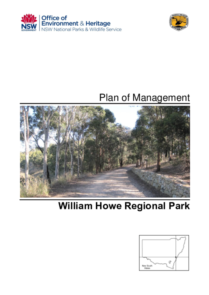
William Howe Regional Park is located between Camden and Campbelltown, approximately 70 kilometres south-west of the Sydney central business district. The park was reserved in 1998 and is located on 43 hectares within the former estate granted to William Howe in 1818.
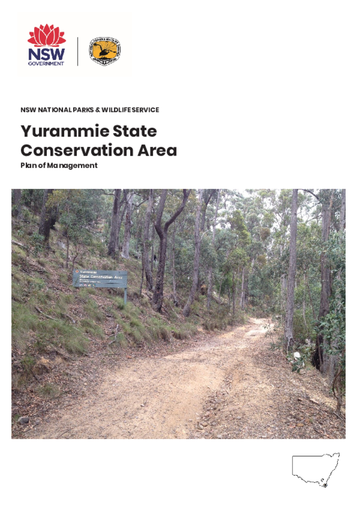
Yurammie State Conservation Area is located on the NSW South Coast, approximately 9 kilometres west of Merimbula and approximately one kilometre south of the village of Wolumla. It is part of a network of parks which include South East Forest National Park and Bournda Nature Reserve.
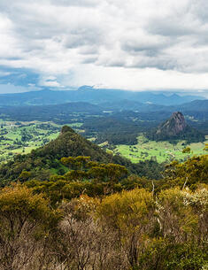
The proposed Caldera Rim Walk is an approximately 8 km return, half-day bushwalk with spectacular views of the Wollumbin summit and surrounding caldera.
Coolah Tops National Park is located on the Liverpool Range 30 kilometres east of the town of Coolah in central NSW. It has an area of 12,056 hectares.
Coramba Nature Reserve covers an area of 9.43 hectares and is located approximately 10 kilometres north-west of Coffs Harbour and 2.5 kilometres north of Coramba.
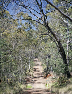
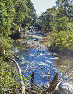
Courabyra Nature Reserve is located 5kms north west of Tumbarumba on the South West Slopes of NSW. It covers an area of 239 hectares that was previously part of Mannus State Forest.
This plan of management encompasses the national parks and nature reserves commonly known as the Tweed Caldera, all of which form part of the ancient Mount Warning (or Wollumbin) shield volcano in far northern NSW. The 'planning area' encompasses Wollumbin (formerly Mount Warning), Border Ranges, Mebbin, Nightcap, Goonengerry and Mount Jerusalem National Parks and Limpinwood, Numinbah and Snows Gully Nature Reserves.
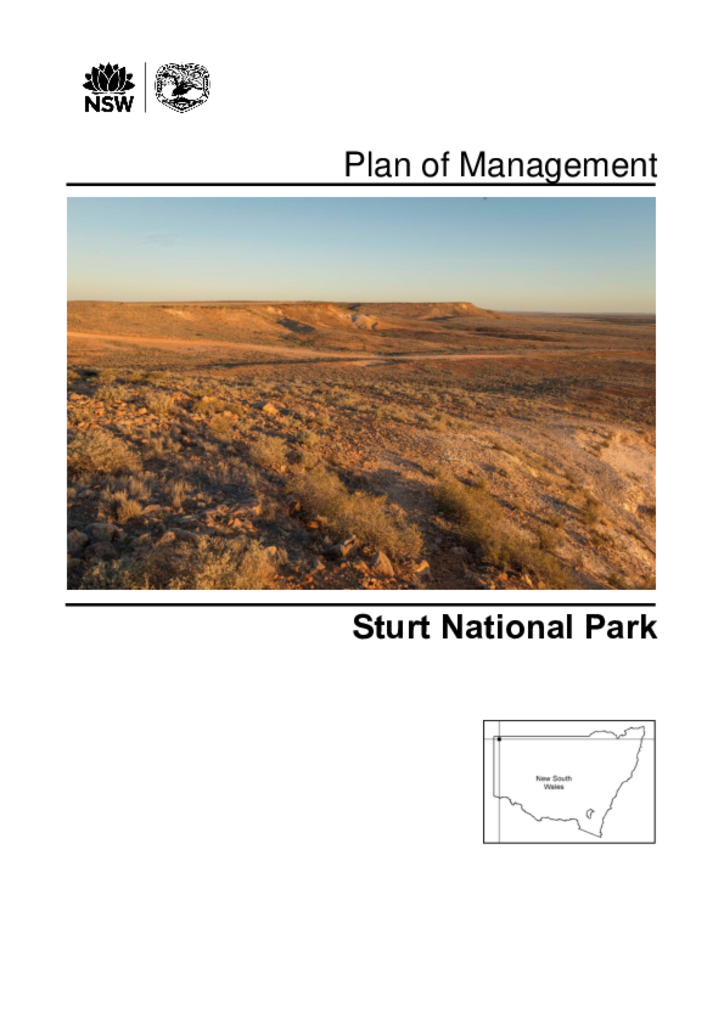
Sturt National Park is located in the far north-west corner of New South Wales, about 330 kilometres north of Broken Hill and 400 kilometres west of Bourke. The park extends to the north, east and west of the town of Tibooburra and is bordered by Queensland to the north and South Australia to the west.