Kemendok Nature Reserve is located adjacent to the Murray River, 50 kilometres east of Buronga in south-western NSW. The reserve covers 1,064 hectares.
Little Llangothlin Nature Reserve was established in 1979 and contains one of the few high altitude freshwater lagoons on basalt soil remaining on the New England Plateau of New South Wales.
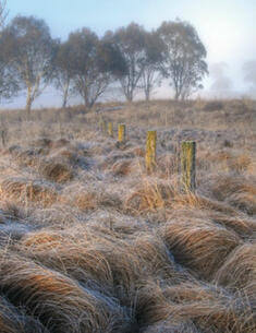
Watsons Creek Nature Reserve is located on the western fall of the New England Plateau approximately 32 km north-north-east of Tamworth and 65 km south-west of Armidale. The reserve is approximately 1260 ha in size and is in 2 portions, separated by an area under mining lease with known mineral deposits which has been subject to mining activities.
These amendments to the Kosciuszko National Park Plan of Management (2006) were adopted by the Minister for Climate Change and the Environment on 10 December 2010.
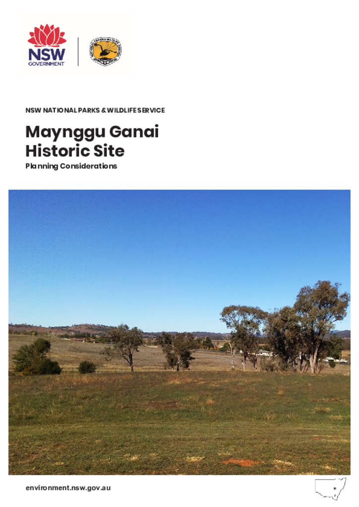
This planning considerations document outlines the matters considered in preparing the Maynggu Ganai Historic Site Plan of Management, including the site’s key values, management principles and management considerations.
Boginderra Hills Nature Reserve, which was reserved in 1982, covers an area of 756 hectares and is located about 20 kilometres north of Temora in the NSW South Western Slopes Bioregion.
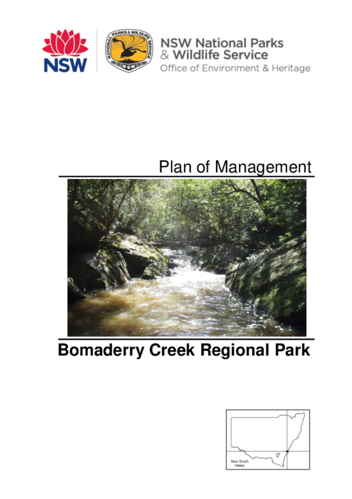
Bomaderry Creek Regional Park is located between the urban centres of North Nowra and Bomaderry on the south coast of New South Wales. The 82 hectare park was reserved in 2002 and forms part of a larger bushland area known locally as the Bomaderry Creek bushland.
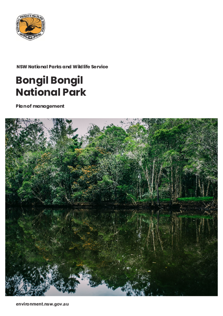
Bongil Bongil National Park is located south of Coffs Harbour, stretching between the villages of Sawtell in the north, Mylestom in the south and Valery to the west. The park covers 4,316 hectares of land and is part of Country for the Gumbaynggirr People.