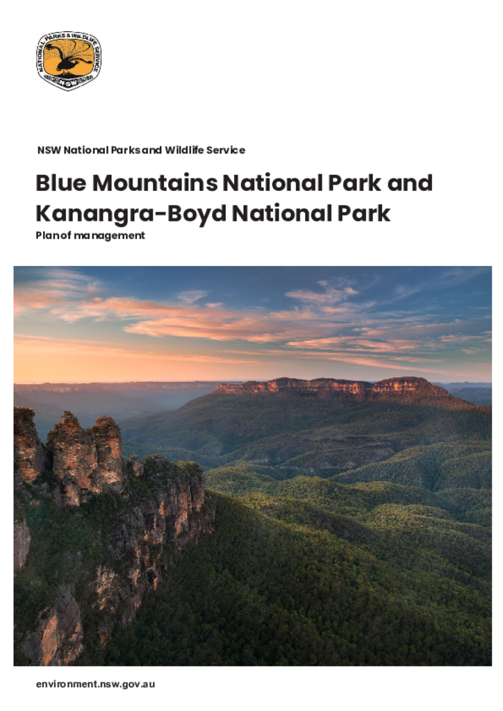
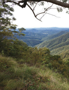
Blue Mountains National Park and Kanangra-Boyd National Park are in the traditional Country of the Gundungurra and Darug people. Located in the Blue Mountains region of New South Wales, the parks have a combined area of over 340,000 hectares. This plan outlines how the natural and cultural values of these parks will be conserved and promoted for community use.
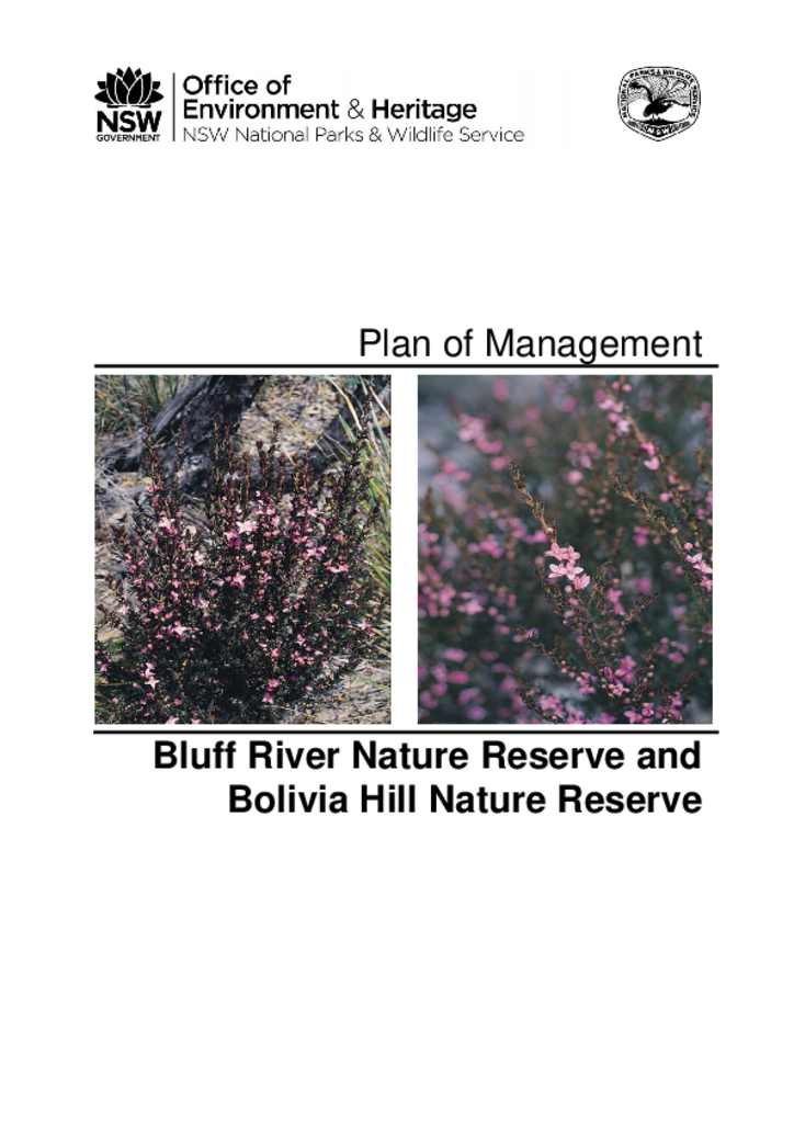
Bluff River Nature Reserve and Bolivia Hill Nature Reserve are located near Tenterfield on the Northern Tablelands of New South Wales. Bluff River Nature Reserve has an area of 1,793 hectares while Bolivia Hill Nature Reserve has an area of 1,782 hectares.
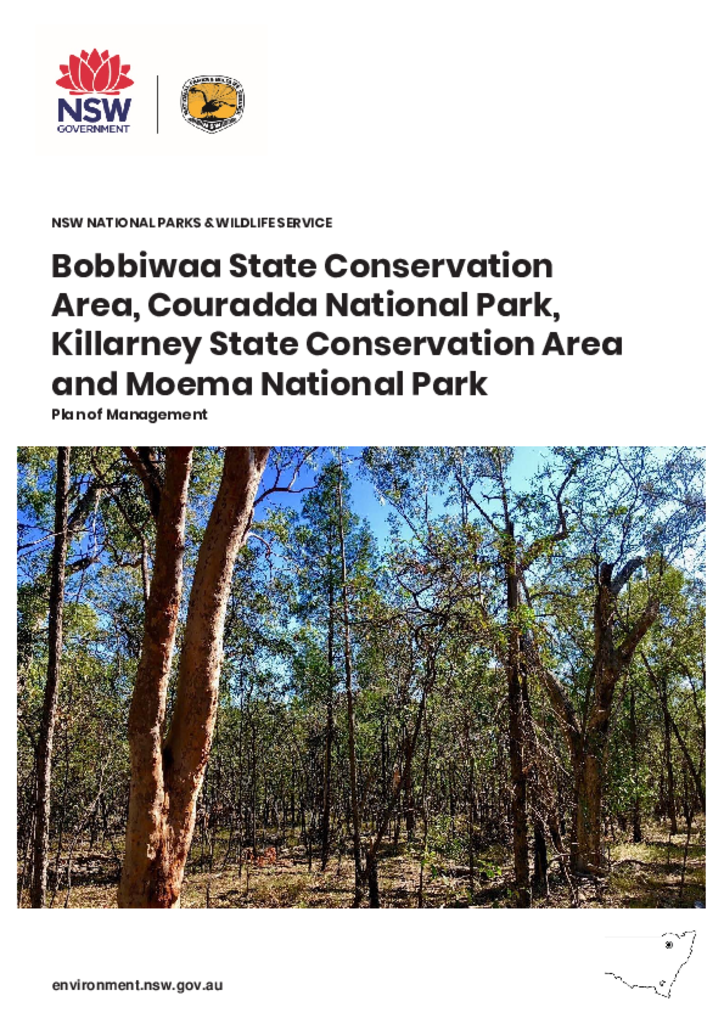
The Bobbiwaa Parks are located located approximately 25 kilometres north-east of Narrabri and collectively cover a total area of 6,928 hectares. The parks belong to the lands of the Gamilaroi (also spelt Gamileroi, Gomeroi, Gamilaraay, Kamilaroi) Nation.
Burra Creek Nature Reserve is located 25 kilometres south of Queanbeyan in the locality of Burra. The reserve, which was established in 2001, is 270 hectares in size and consists of two separate areas.
Dunggir National Park is located in the Nambucca Valley, on the mid-north coast of NSW. The park comprises 2,651 hectares and contains Bowra Sugarloaf, which is a prominent landscape feature in the region.
The planning area includes Myall Lakes National Park and the offshore Myall Coast Reserves. Myall Lakes National Park is over 44,000 hectares in size and is about 50 kilometres north of Newcastle and 30 kilometres south of Forster.
Billinudgel Nature Reserve is located on the far north coast of New South Wales and has an area of 713 hectares. It forms one of several coastal nature reserves which protect important remnants of coastal habitat in an otherwise highly modified environment.
Bimberi Nature Reserve is located on the western fall of the Brindabella Range between Kosciusko National Park in New South Wales and Namadgi National Park in the Australian Capital Territory. It is a strip of rugged and forested land on the eastern side of the headwaters of the Goodradigbee River. The crest of the Brindabella Range is the border between New South Wales and the Australian Capital Territory.