Benambra National Park and Tabletop Nature Reserve covers an area of 1,399 hectares and is located 30 kilometres north east of Albury, 20 kilometres south east of Culcairn on the Yambla Range in southern NSW. Tabletop Nature Reserve covers 102 hectares around Loka Mountain and lies 5 kilometres to the south of Benambra National Park.
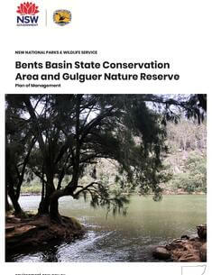
Bents Basin State Conservation Area (SCA) and Gulguer Nature Reserve (NR) are located on the Nepean River near Wallacia in western Sydney, approximately 34 kilometres west of Liverpool or 33 kilometres south of Penrith. The parks are part of the Country of the Dharug, Dharawal and Gundangurra language groups.
Mother of Ducks Lagoon Nature Reserve is located in the township of Guyra, close to the Great Divide at an elevation of 1315 metres. The lagoon is one of 58 natural freshwater wetlands on the New England Tableland but only one of three in National Parks and Wildlife Service reserves. The park covers 195 hectares and is part of a larger lagoon system covering approximately 340 hectares. The nature reserve in the traditional Country of the Banbai Aboriginal People.
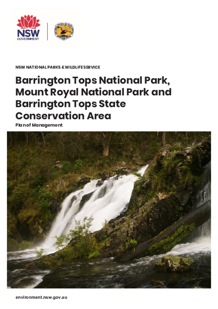
Barrington Tops National Park, Mount Royal National Park and Barrington Tops State Conservation Area are located approximately 90 kilometres north-west of Newcastle and cover a combined area of 89,299 hectares. The parks are within the traditional Country of the Biripi, Worimi, Geawegal and Wonaruah Aboriginal people.
Basket Swamp National Park is located on the eastern fall of the northern section of the New England Tablelands of New South Wales, approximately 15 kilometres to the north east of Tenterfield. With an area of 2,820 hectares, Basket Swamp National Park is a significant reserve within the northern New England Tableland biogeographical region.
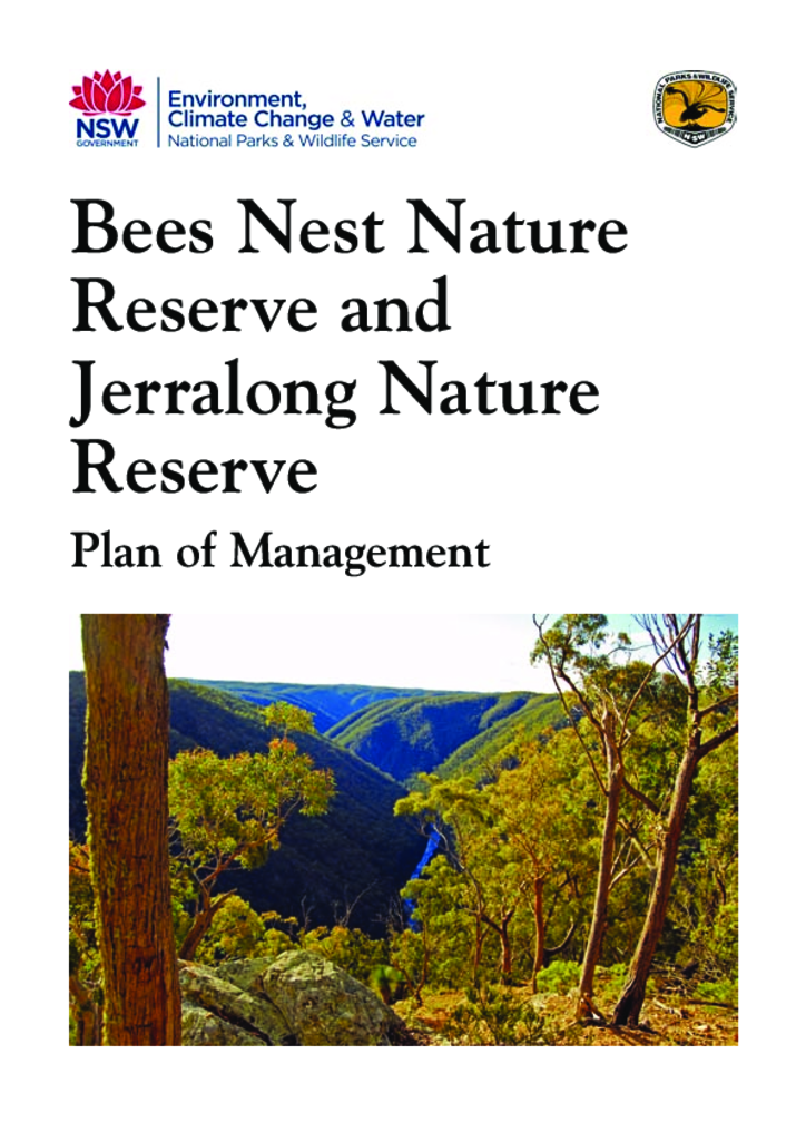
Bees Nest Nature Reserve and Jerralong Nature Reserve are located on the Shoalhaven River approximately 10 kilometres north-west of Nerriga and 40 kilometres south-east of Goulburn. Bees Nest Nature Reserve has an area of 1,542 hectares and Jerralong Nature Reserve has an area of 334 hectares.
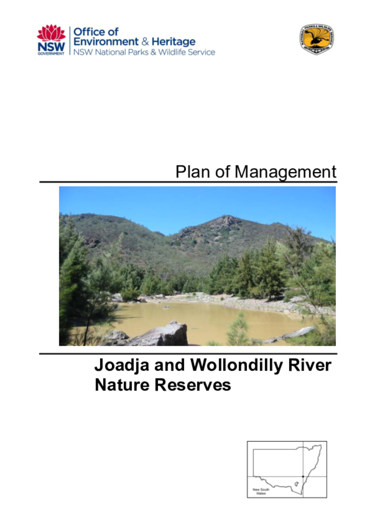
Joadja and Wollondilly River nature reserves cover 830 and 971 hectares respectively. Joadja Nature Reserve was established in 2001 and Wollondilly River Nature Reserve was established in 2002.