Muttonbird Island Nature Reserve covers an area of around 9 hectares and is located adjacent to the coastline at Coffs Harbour on the mid-north coast of NSW. It consists of two islands: Muttonbird Island and Little Muttonbird Island.
Wollemi National Park covers an area of about 488,620 hectares of rugged dissected plateau located on the north-west fringe of the Sydney Basin. The park is the second largest national park in New South Wales. It is part of a large system of unmodified and interconnected sandstone landscapes surrounding the Sydney metropolitan area.
The Abercrombie Caves reserve covers an area of some 2225 hectares and is located 280 kilometres by road west of Sydney and about 70 kilometres south of Bathurst between the villages of Trunkey Creek and Tuena. The actual caves area is only a small portion of the much larger reservation. This larger area provides a natural, largely unmodified catchment area essential to the well being of the karst system.
Araluen Nature Reserve covers 656 hectares near the village of Araluen in the Southern Tablelands of NSW. The reserve was established in 2001 as a result of the Southern Regional Forest Agreement.
Avisford Nature Reserve is located on the Central Tablelands of NSW, approximately 5 kilometres south west of Mudgee. It covers an area of 2,437 hectares.
Avondale State Conservation Area covers an area of 313 hectares and was reserved as part of the North East Regional Forest Agreement in 2003. The reserve is located approximately 36 kilometres on the eastern edge of the central New England Tablelands.
The Babadaga Group of Reserves is located on the lower north coast of New South Wales, inland from Nambucca Heads. The group comprises five closely aligned nature reserves, Bollanolla, Bowraville, Ganay, Juugawaarri and Jaaningga Nature Reserves, and collectively cover an area of 4800 hectares.
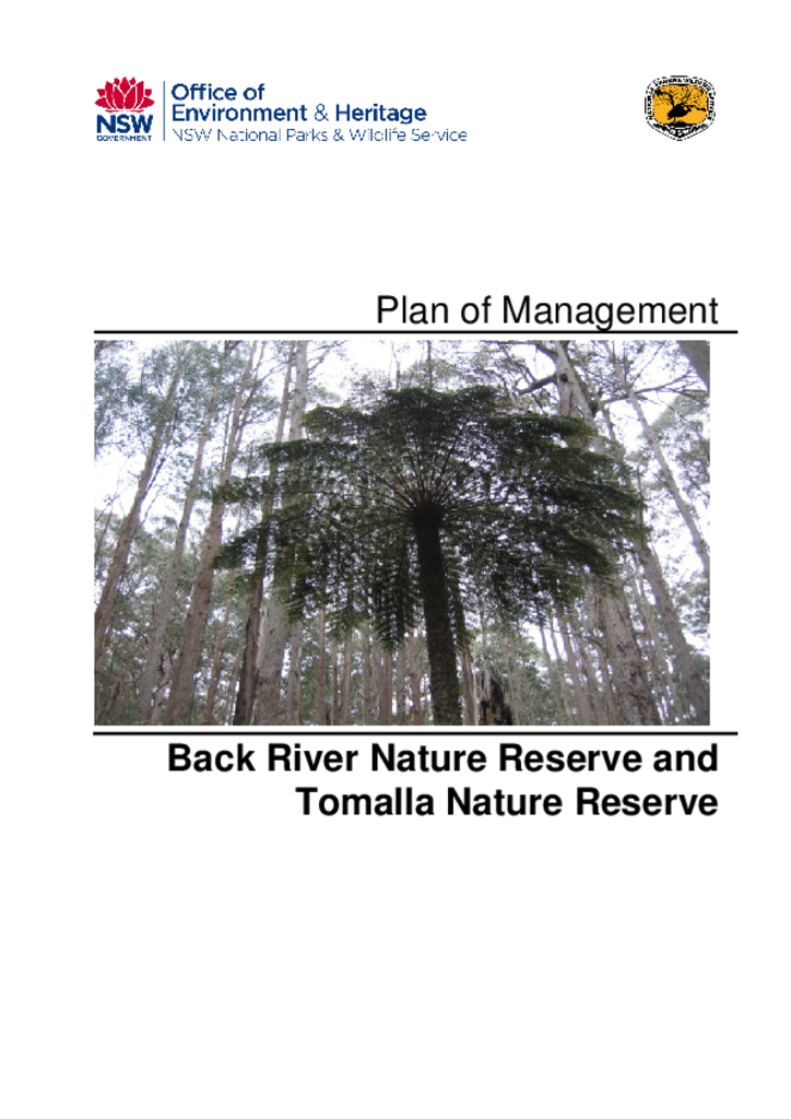
Back River Nature Reserve and Tomalla Nature Reserve are located approximately 60 kilometres south-east of Tamworth and 70 kilometres north-east of Scone. Both were reserved in January 1999. Back River Nature Reserve has an area of 735 hectares while Tomalla Nature Reserve has an area of 605 hectares.