Werrikimbe National Park is located 350 kilometres north of Sydney. The Oxley Highway between Walcha and Port Macquarie passes 25 kilometres to the south of the park and is a major route between the tablelands and the coast.
Whian Whian State Conservation Area is located approximately 35 kilometres north of Lismore on the far north coast of New South Wales and comprises 2,435 hectares.
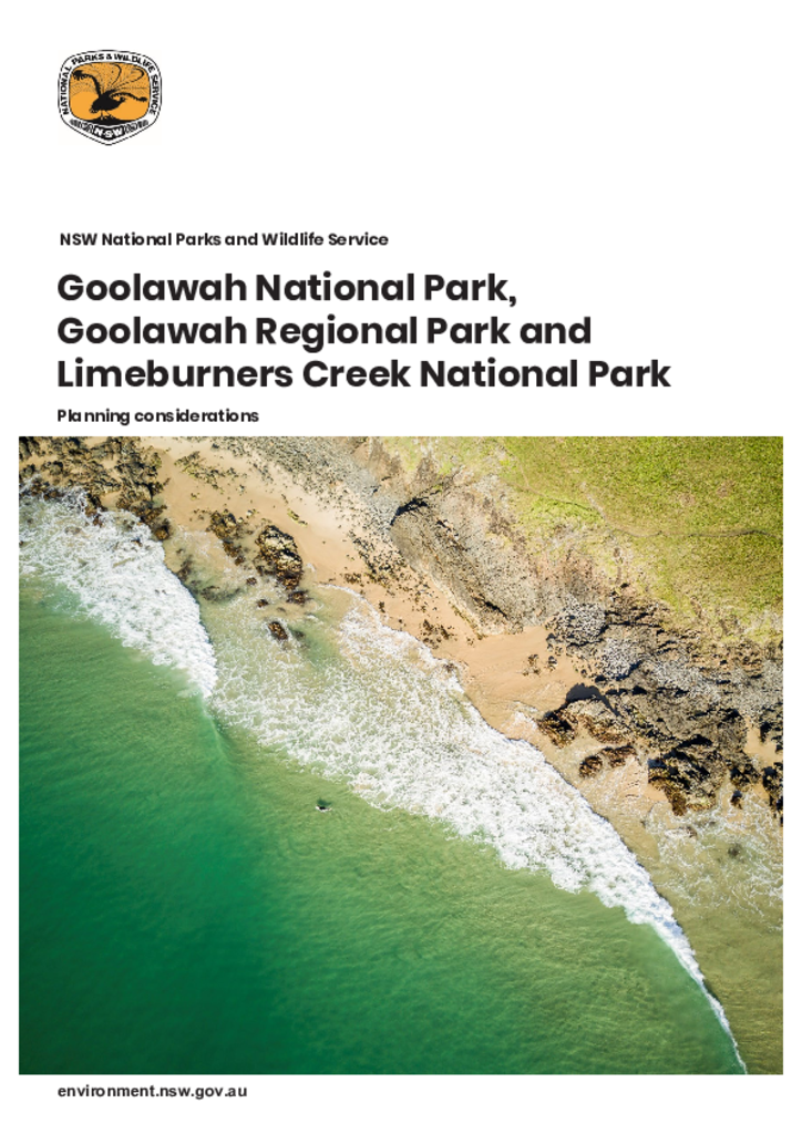
Goolawah National Park, Goolawah Regional Park and Limeburners Creek National Park are located between Port Macquarie and Crescent Head on the NSW Mid North Coast, within the traditional Country of the Dunghutti and Birpai Peoples.
The amendments to Far South Coast Escarpment Parks Plan of Management, Kosciuszko National Park Plan of Management and Mummel Gulf National Park and State Conservation Area Plan of Management enable horse riding to continue in specific wilderness areas. These amendments were adopted by the Minister for the Environment on 13 February 2019.
This joint agreement between the Gawambaraay Pilliga Co-Management Committee and the Office of Environment and Heritage is a partnership agreement that covers lands in the northern plains region of New South Wales.
The draft master plan for the Gardens of Stone State Conservation Area sits within the framework provided by the draft plan of management and outlines a range of proposals for visitor management and infrastructure improvements.
Davidson Whaling Station Historic Site is located on the southern shore of Twofold Bay, on Kiah Inlet at the mouth of the Towamba River, 35 kilometres by road south of Eden. Access to the site is by unsealed road through East Boyd State Forest or by boat to the beach on Kiah Inlet.