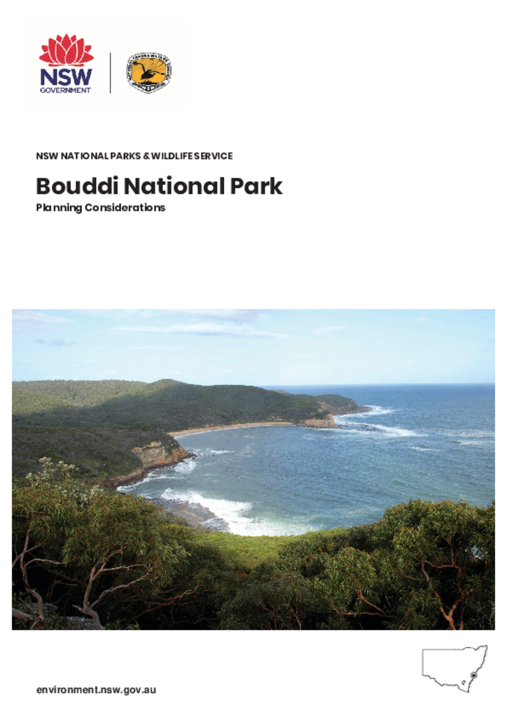
Inner Pocket Nature Reserve covers approximately 220 hectares in the Brunswick River catchment, 10 kilometres west of Brunswick Heads in northern New South Wales. It is in the traditional Country of the Minjungbal People of the Bundjalung Nation.
A plan of management for Budderoo National Park, Macquarie Pass National Park, Barren Grounds Nature Reserve and Robertson Nature Reserve was adopted in 1998.These amendments arose from the addition of former crown land in the Carrington Falls area to Budderoo National Park and the reassessment of an action with regard to Clover Hill and Glenview Roads in Macquarie Pass National Park.
Wereboldera State Conservation Area is located 2 kilometres south west of Tumut in the South West Slopes of NSW. It covers 2,263 hectares and forms part of a vegetated transition between the montane forests of the Snowy Mountains and the drier open woodlands of the South West Slopes and Riverina to the north and west.
These amendments to the 2002 Cape Byron State Conservation Area Plan of Management were adopted by the Minister for Climate Change and the Environment on 18 June 2010. These amendments provide for the existing café building at The Pass to be used as a café and/or as a kiosk, or (subject to a heritage assessment) demolition of the current building and construction of a new café and/or kiosk on the same site.
The Light to Light Walk is located in the Beowa National Park near Eden, on the far south coast of New South Wales. The Walk provides a 30-kilometre track from Boyds Tower to Green Cape Lighthouse.
Mount Canobolas State Conservation Area is located about 15 kilometres south-west of Orange in the NSW Central West and occupies an area of 1672 hectares.