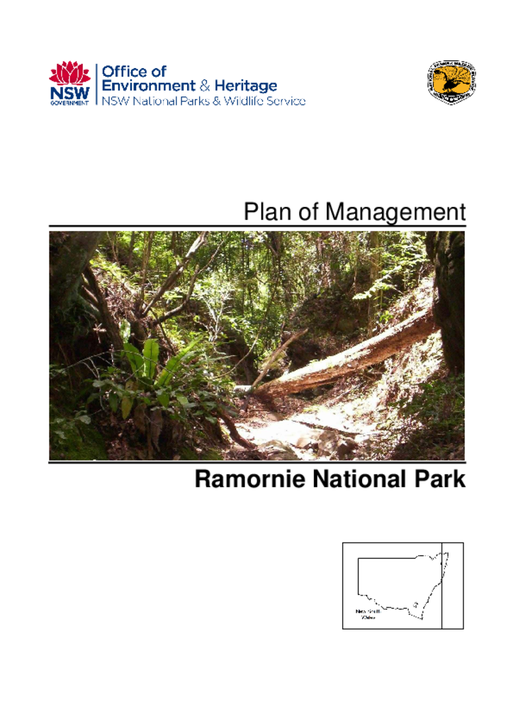
Ramornie National Park is located 40 kilometres west of Grafton on the NSW North Coast. It was reserved in 1999 and covers 3,307 hectares. The park is in 2 portions separated by Ramornie State Forest.
Razorback Nature Reserve is located in the Central Tablelands of NSW, about 12 kilometres east of Bigga and 45 kilometres north of Crookwell. The reserve covers 2647 hectares and is considered significant because of the natural link it provides between the botanical divisions of Central Tablelands, Southern Tablelands and Central Western Slopes.
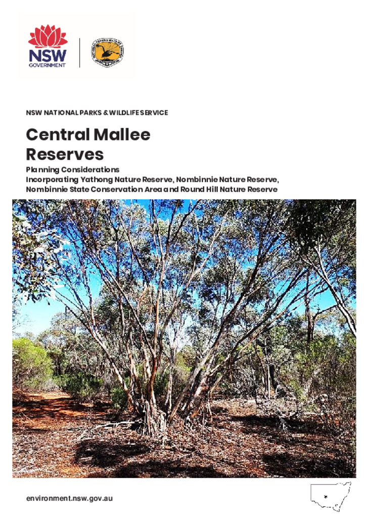
The Central Mallee Reserves are made up of Yathong Nature Reserve, Nombinnie Nature Reserve, Nombinnie State Conservation Area and Round Hill Nature Reserve. Together these reserves protect the largest mallee woodland and shrubland remnant in New South Wales and provide habitat for mallee specialist plants and animals.
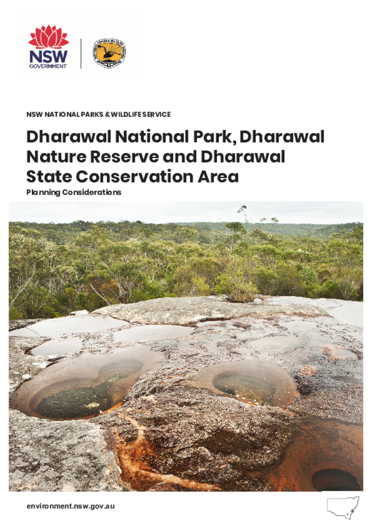
This report discusses the planning matters considered in preparing the Dharawal National Park, Dharawal Nature Reserve and Dharawal State Conservation Area Plan of Management. The parks are located south-west of Sydney between the Georges River and Illawarra escarpment in New South Wales and are in the traditional Country of the Dharawal People.
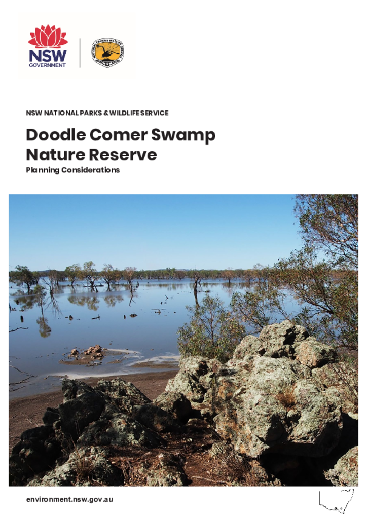
This report discusses the planning matters considered in preparing the Doodle Comer Nature Reserve Plan of Management. The nature reserve is located in southern NSW, bordering the township of Henty, midway between Wagga Wagga and Albury.
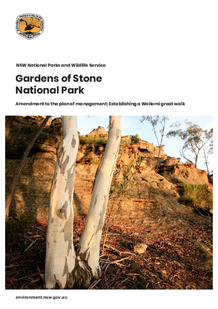
This amendment to the Gardens of Stone National Park plan of management facilitates establishment of a Wollemi great walk and a change to the maximum size of groups allowed on the walk.
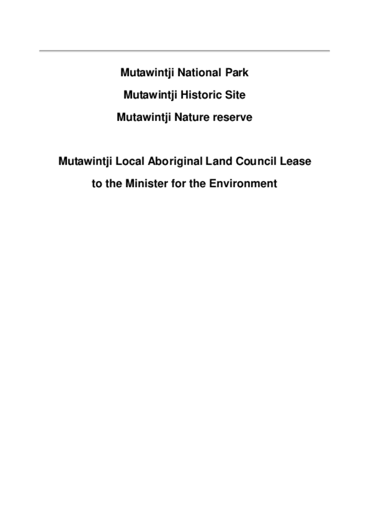
This Aboriginal ownership and leaseback agreement, between the Wiimpatja people and the Office of Environment and Heritage, was the first agreement formed between Aboriginal people and the Office.
Aboriginal ownership and leaseback agreementMutawintji National Park
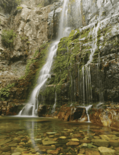
Budderoo National Park, Barren Grounds Nature Reserve, Macquarie Pass National Park and Robertson Nature Reserve form an inter-related group of parks and reserves at the eastern edge of the Southern Highlands, southwest of Wollongong. They comprise extensive areas of plateau and adjacent escarpment, predominantly supporting heathland, woodland, tall open forest and rainforest. The escarpment provides spectacular scenery and several lookouts and waterfalls are popular visitor attractions.
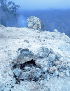
Burning Mountain Nature Reserve is situated in highly folded terrain approximately 25 kilometres north of Scone adjacent to the New England Highway. Although small in area, the reserve’s 14.5 hectares conserves interesting features which have resulted from the naturally occurring burning of an underground coal seam, believed to be one of only three such phenomenon in the world.
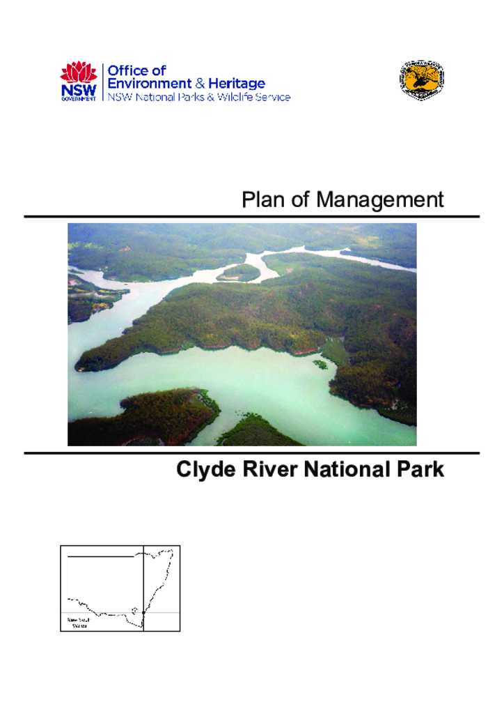
Clyde River National Park is located on the Clyde River approximately 5 kilometres north-west of Batemans Bay. The park was established in 2001 and consists of several sections with a total area of 1,278 hectares.