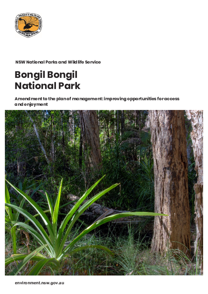
This amendment to the Bongil Bongil National Park Plan of Management enables the establishment of a multi-use track for walking and cycling in Bongil Bongil National Park.
This indigenous land use agreement is between the Githabul people, the Githabul Nation Aboriginal Corporation and the NSW Government. The agreement extends across a number of national parks and state forest reserves, including world heritage-listed areas.
Indigenous land use agreementBorder Ranges National Park
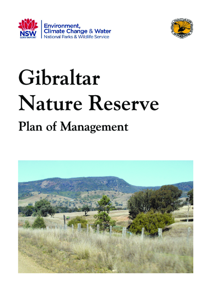
Gibraltar Nature Reserve is situated on the Northern Tablelands of New South Wales approximately 35 kilometres west of Tenterfield and covers an area of 160 hectares.
The village of Hartley is situated at the base of Victoria Pass on the Great Western Highway 140 kilometres west of Sydney. The historic site was initially reserved in 1972 and now comprises fifteen historic buildings and surrounding landscape. Two other historic buildings are located within the village precinct but are privately owned.
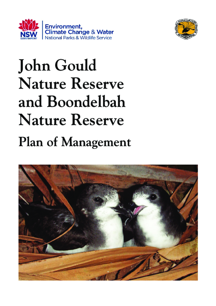
John Gould Nature Reserve and Boondelbah Nature Reserve are islands located offshore from Port Stephens, within the Port Stephens - Great Lakes Marine Park. The islands cover 36 hectares in total.
Marramarra National Park, Muogamarra Nature Reserve and Maroota Historic Site are located on the northern outskirts of Sydney, in an area west of the Pacific Highway, east of Old Northern Road and south of the Hawkesbury River.
The Royal National Park, Heathcote National Park and Garawarra State Conservation Area Plan of Management was adopted by the Minister for the Environment in 2000. The Minister for Climate Change and the Environment adopted these amendments to the plan on 15 September 2010 in relation to leases and licences.