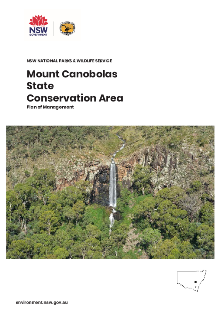
Mount Canobolas State Conservation Area is located about 15 kilometres south-west of Orange in the NSW Central West and occupies an area of 1,672 hectares.
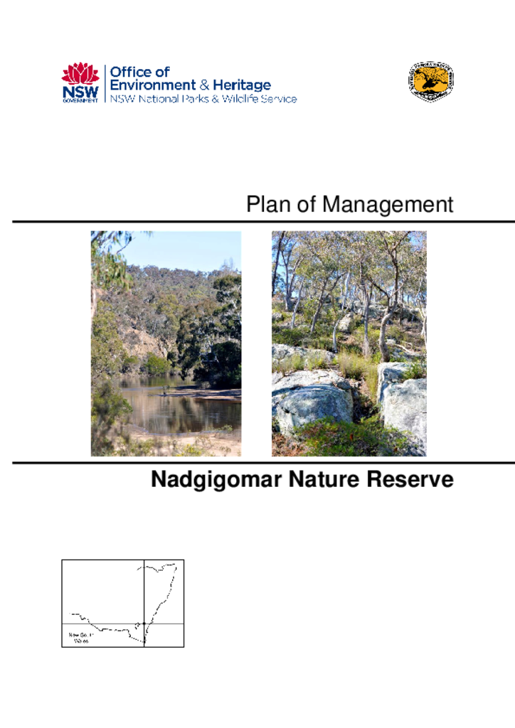
Nadgigomar Nature Reserve covers an area of 5,596 hectares in three disjunct sections known as Sunset Mountain, East Nadgigomar and Durran Durra. It is located 55 kilometres south of Goulburn and 20 kilometres north of Braidwood on the Southern Tablelands of New South Wales.
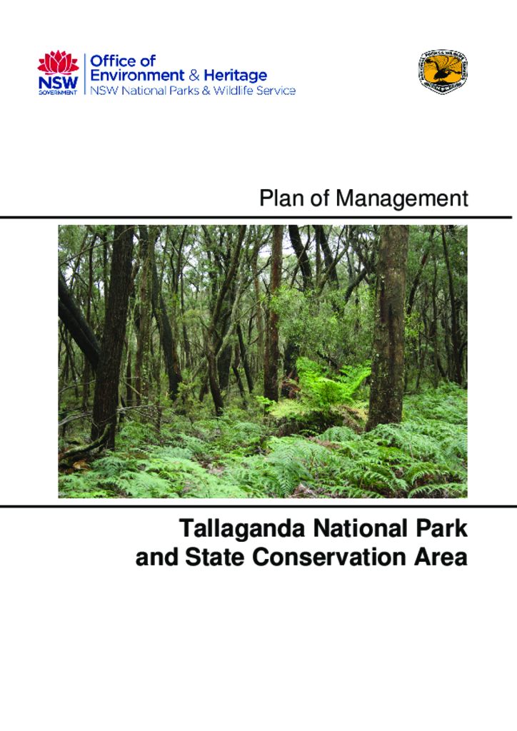
Tallaganda National Park and Tallaganda State Conservation Area were established in 2001. They are located 30 kilometres east of Canberra and have a combined area of 21,879 hectares.
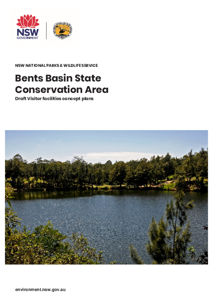
The National Parks and Wildlife Service recognise that the visitor facilities at Bents Basin State Conservation Area need revitalising to protect park values and deliver sustainable visitor use.
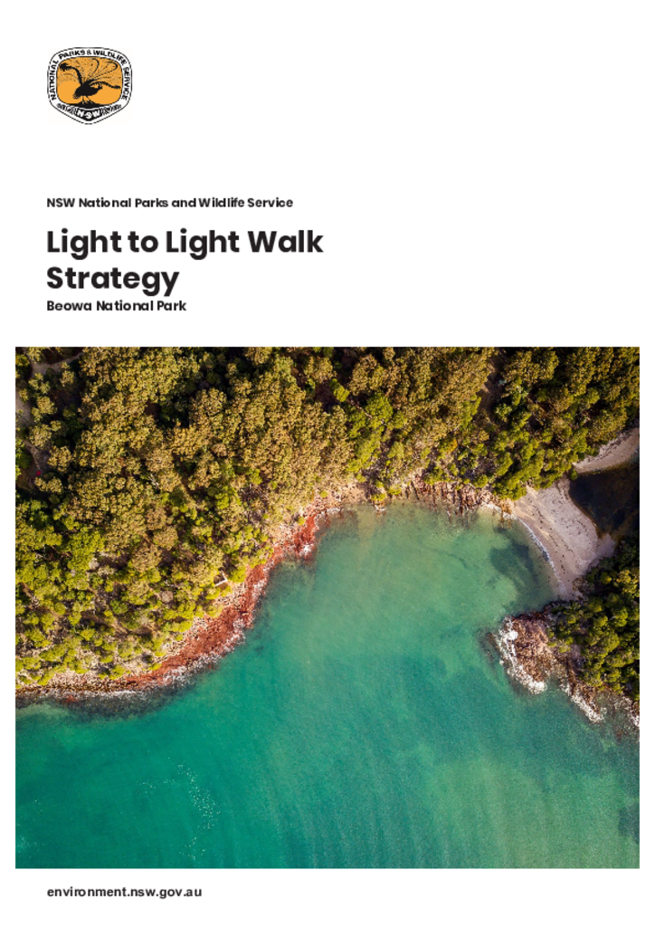
The Light to Light Walk is located in the Beowa National Park near Eden, on the far south coast of New South Wales. The Walk provides a 30-kilometre track from Boyds Tower to Green Cape Lighthouse.
The Big Scrub Nature Reserves Plan of Management includes Andrew Johnston Big Scrub, Victoria Park, Davis Scrub, Hayters Hill, Boatharbour and Wilson Nature Reserves.