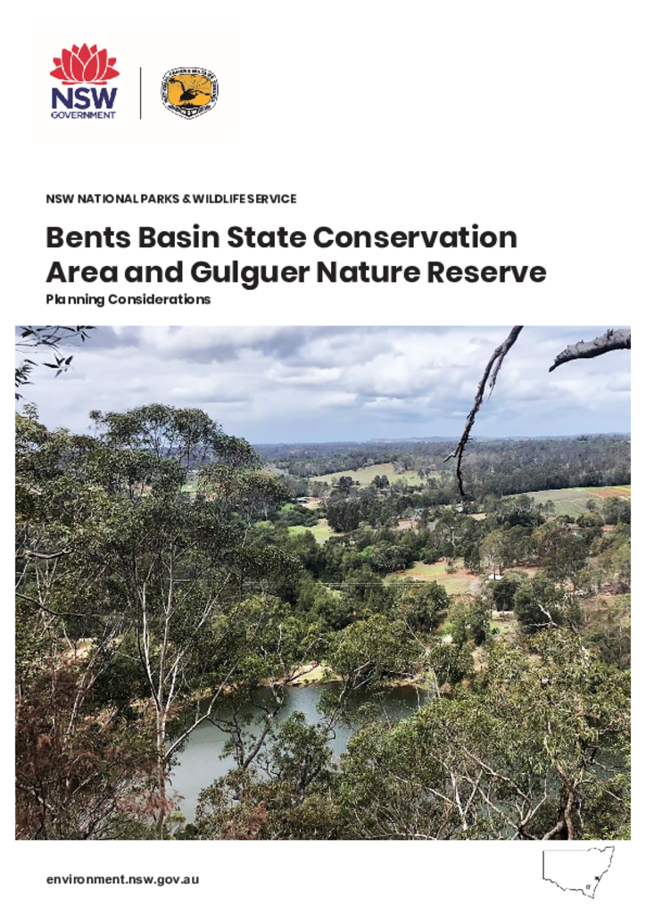
Bents Basin State Conservation Area (SCA) and Gulguer Nature Reserve (NR) are located on the Nepean River near Wallacia in western Sydney, approximately 34 kilometres west of Liverpool or 33 kilometres south of Penrith. The parks are part of the Country of the Dharug, Dharawal and Gundangurra language groups.
This amends the Kosciuszko National Park Plan of Management to allow a pilot trial of horse riding on identified wilderness trails within the park for a period of two years. These amendments were adopted by the Minister for the Environment on 10 February 2014.
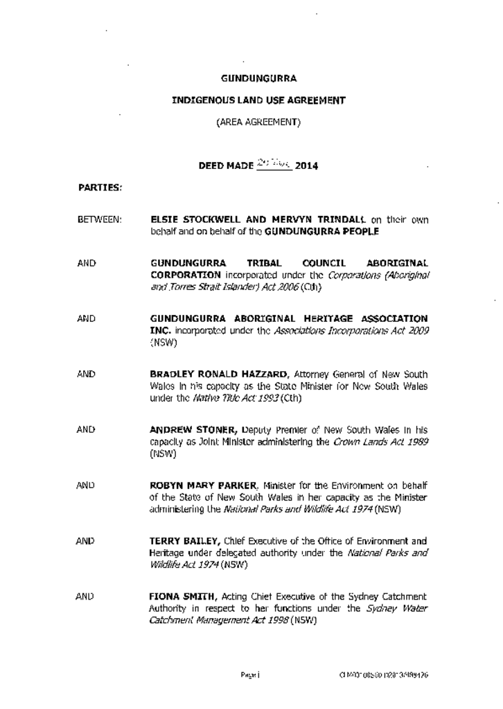
This indigenous land use agreement is between the Gundungurra people, the Gundungurra Tribal Council Aboriginal Corporation, Gundungurra Aboriginal Heritage Association and the NSW Government.
Indigenous land use agreementAboriginal joint management agreement
Brigalow Nature Reserve was formerly Brigalow Park Nature Reserve (gazettal date for name change was 31 January 2014). Brigalow Nature Reserve is located in the north-western plains region of NSW, 22 kilometres by road south-west from Narrabri. It is the only conservation area in north-western NSW which protects remnant stands of Brigalow vegetation in eastern Australia.
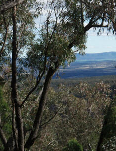
Conimbla National Park is located on the central western slopes of NSW between Grenfell, Canowindra and Cowra, about 400 kilometres west of Sydney. It has an area of 7,590 hectares and covers part of a low system of ranges which support a variety of forest, woodland and heath communities.
Dananbilla, Koorawatha, Gungewalla and Illunie Nature Reserves are located between Young, Boorowa and Cowra on the south-west slopes of NSW. The reserves cover a combined area of 5,385 hectares.
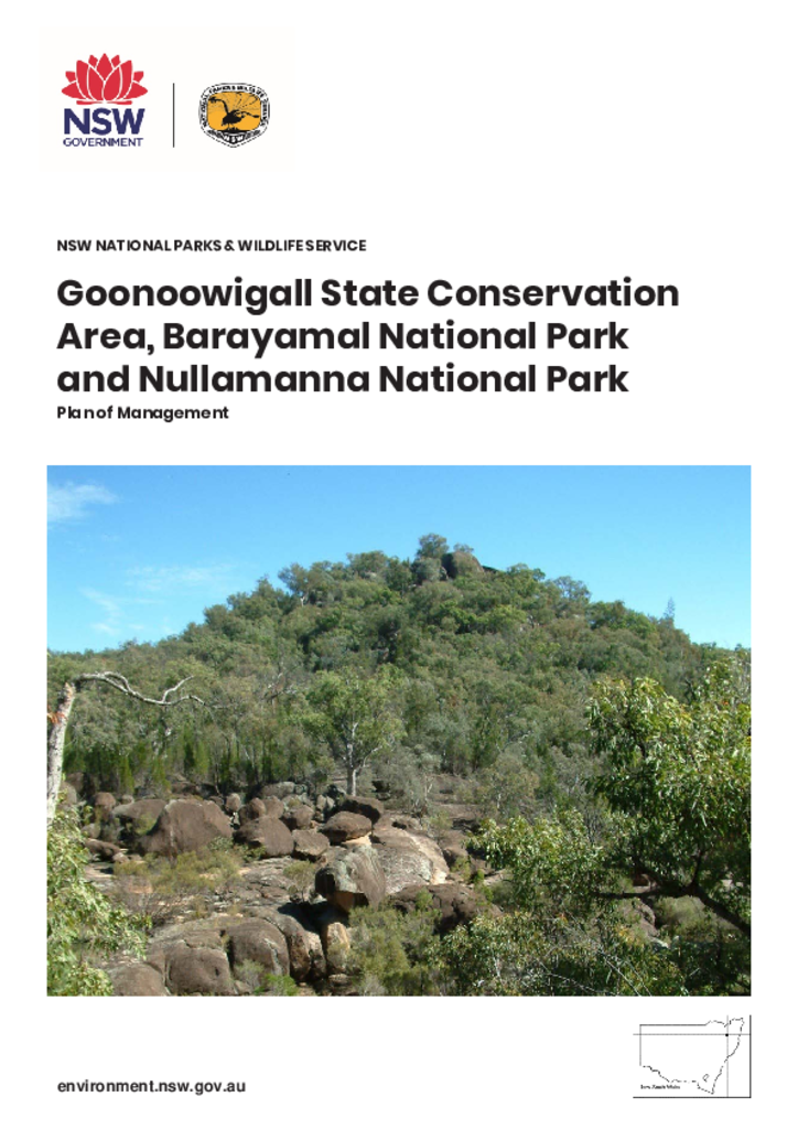
Goonoowigall State Conservation Area, Barayamal National Park and Nullamanna National Park lie within the traditional Country of the Jukambul People on the Northern Tablelands of New South Wales. Goonoowigall State Conservation Area and Barayamal National Park are each about 5 kilometres east and south of Inverell respectively, while Nullamanna National Park is approximately 31 kilometres to the northeast. The parks together protect 1530 hectares.
Middle Brother National Park is located approximately 30 kilometres south west of Port Macquarie on the mid-north coast of New South Wales. The park covers an area of 1,830 hectares encompassing Middle Brother Mountain, the central mountain in the Three Brothers Mountain chain.
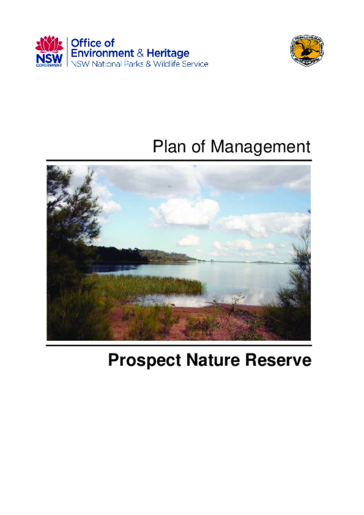
Prospect Nature Reserve was established in 2007 and covers 325.3 hectares on the northern shore of Prospect Reservoir in Western Sydney. It is located approximately 10 kilometres west of Parramatta and 5 kilometres south of Blacktown.