Livingstone National Park and Livingstone State Conservation Area are located 30 kilometres south of Wagga Wagga on the south-west slopes of NSW and cover a total area of 2,458 hectares.
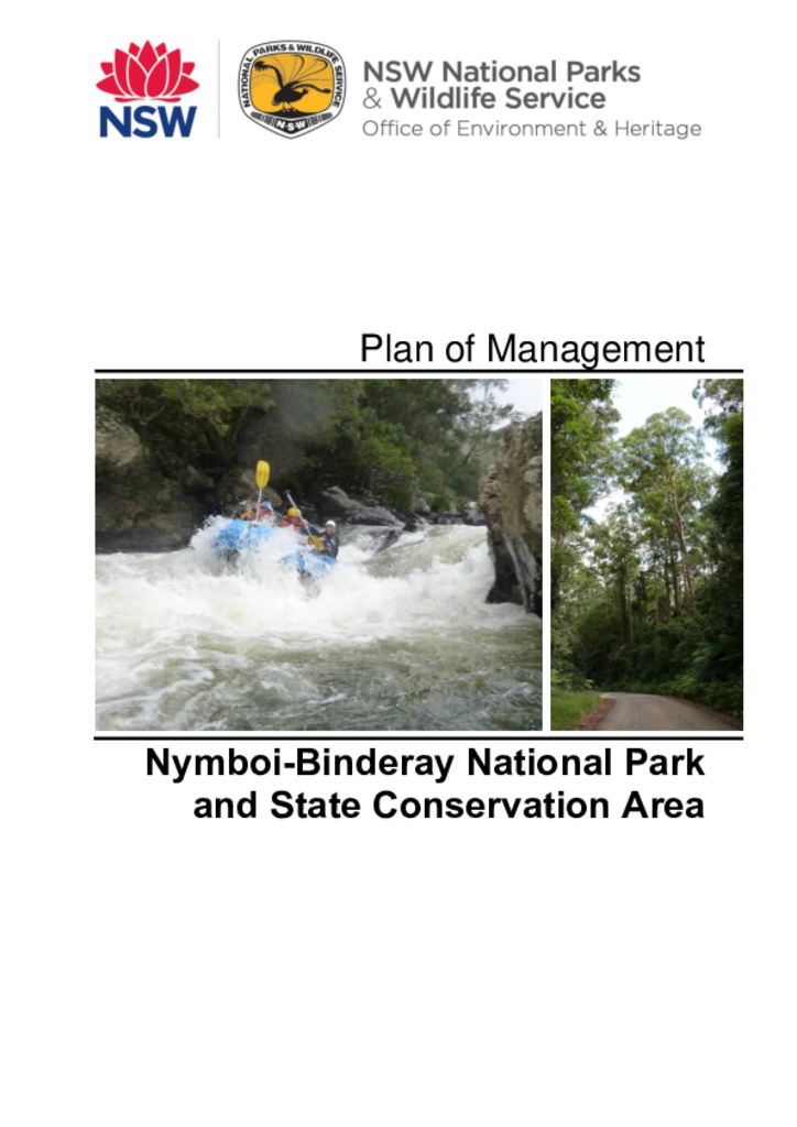
Nymboi-Binderay National Park was established in 1997 and covers 17,585 hectares. The adjoining Nymboi-Binderay State Conservation Area, created in 2003, covers 585 hectares. These parks are located north of Dorrigo in the hinterland of the NSW north coast.
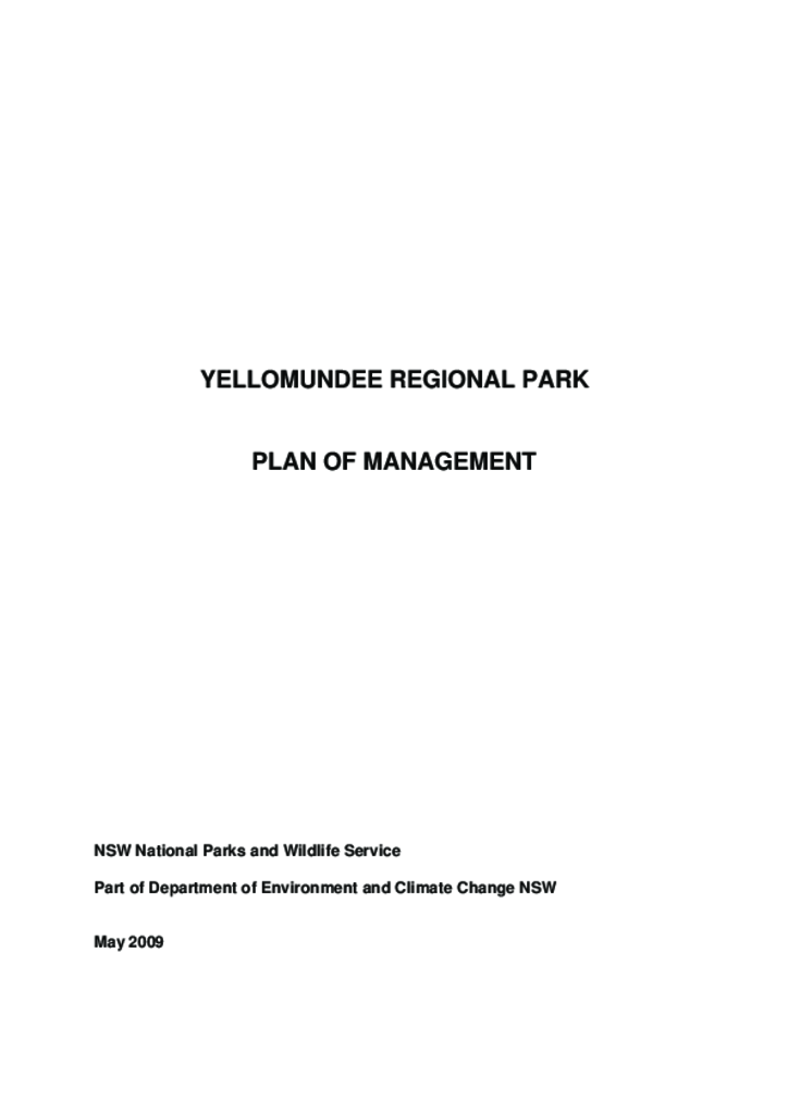
Yellomundee Regional Park is located 8 kilometres north-west of Penrith on the eastern escarpment of the Blue Mountains. It extends for 8.6 kilometres along the western side of the Nepean River and is up to one kilometre in width.
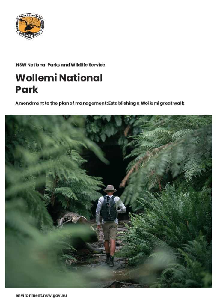
This amendment facilitates establishment of a new section of track. The proposed new walking track would be constructed from Gardens of Stone SCA through Gardens of Stone National Park to connect with the Glow Worm Tunnel track in Wollemi National Park.
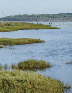
Lake Innes Nature Reserve is located on the mid-north coast of New South Wales, approximately 400 kilometres north of Sydney. It covers an area of approximately 3,510 hectares on the southern boundary of Port Macquarie.
Nadgee Nature Reserve is located on the far south coast of NSW between Wonboyn Lake and the Victorian border and has an area of 20,671 hectares. It comprises coastal range, coastal plain, estuaries, beaches, cliffs, dunes and other coastal landforms.
Severn River Nature Reserve is located on the western slopes of the New England Tableland, approximately 30 kilometres east of Ashford and 70 kilometres north of Inverell on the Severn River in northern NSW. The reserve covers an area of 4,290 hectares.
Yengo National Park, Parr State Conservation Area and Finchley Aboriginal Area cover a combined area of almost 200,000 hectares to the north of the Hawkesbury and Colo Rivers and south of the Hunter Valley.
Broughton Island, which was gazetted as part of Myall Lakes National Park in 1972, is a 114 hectare island that lies approximately 3 kilometres offshore from Dark Point and 16 kilometres north-east of the entrance to Port Stephens.