Severn River Nature Reserve is located on the western slopes of the New England Tableland, approximately 30 kilometres east of Ashford and 70 kilometres north of Inverell on the Severn River in northern NSW. The reserve covers an area of 4,290 hectares.
Yengo National Park, Parr State Conservation Area and Finchley Aboriginal Area cover a combined area of almost 200,000 hectares to the north of the Hawkesbury and Colo Rivers and south of the Hunter Valley.
Broughton Island, which was gazetted as part of Myall Lakes National Park in 1972, is a 114 hectare island that lies approximately 3 kilometres offshore from Dark Point and 16 kilometres north-east of the entrance to Port Stephens.
Currango Historic Precinct is a pastural property located in the snow belt country at the north end of Kosciuszko National Park on the edge of the Currango Plain near Tantangara Reservoir. The site has a complex environmental and cultural history.
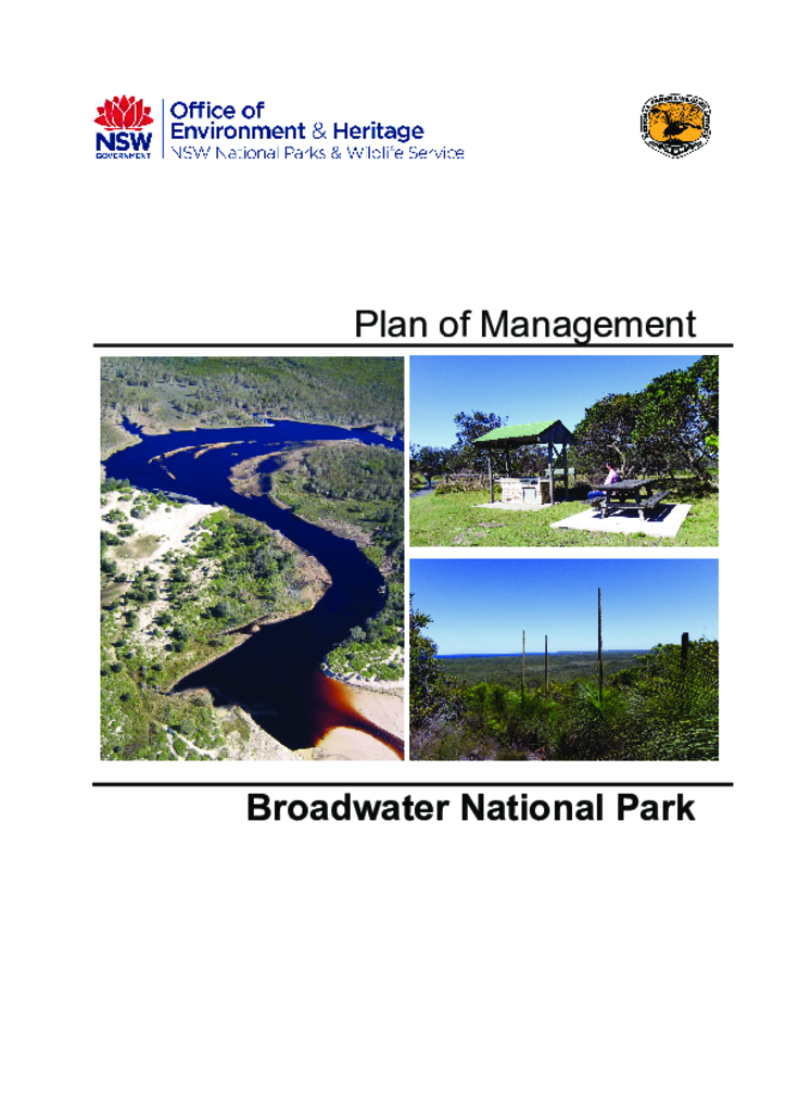
Broadwater National Park has an area of 4,290 hectares and is located approximately 35 kilometres south-east of Lismore on the north coast of New South Wales. The park extends from near the village of Evans Head in the south, northwards towards the village of Broadwater and includes 9 kilometres of coastline.
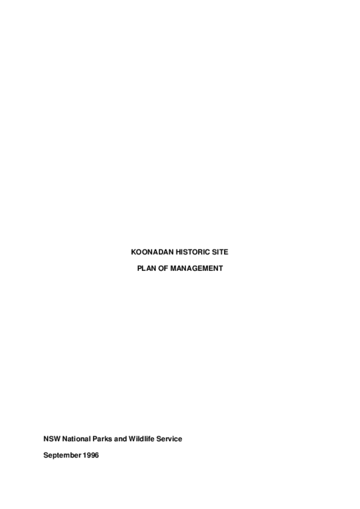
Koonadan Historic Site is located 9 kilometres north-west of Leeton in the Riverina area of southern NSW. It is of high cultural value to the Aboriginal community and has a complex of pre-European contact and more recent Aboriginal sites, notably burials.
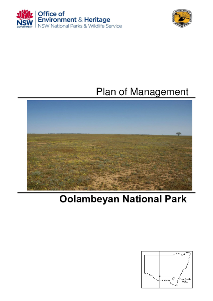
Oolambeyan National Park was established in 2002 and covers 21,851 hectares. It is situated on the Hay Plains in the Riverina Bioregion. This bioregion is one of the least protected bioregions in New South Wales.
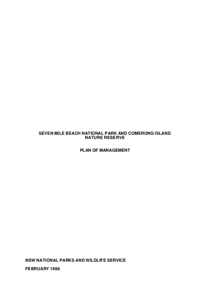
Seven Mile Beach National Park and Comerong Island Nature Reserve are located on the south coast of NSW approximately 15 kilometres east of Nowra and 50 kilometres south of Wollongong. They lie north and south of the Shoalhaven River entrance/Shoalhaven Heads village and have areas of 898 hectares and 660 hectares respectively. The 2 conservation areas sample part of the Shoalhaven River marine barrier and delta system.
Yessabah Nature Reserve covers 10 hectares and is located 15 kilometres west-south-west of Kempsey in the lower Macleay Valley on the mid-north coast of NSW.
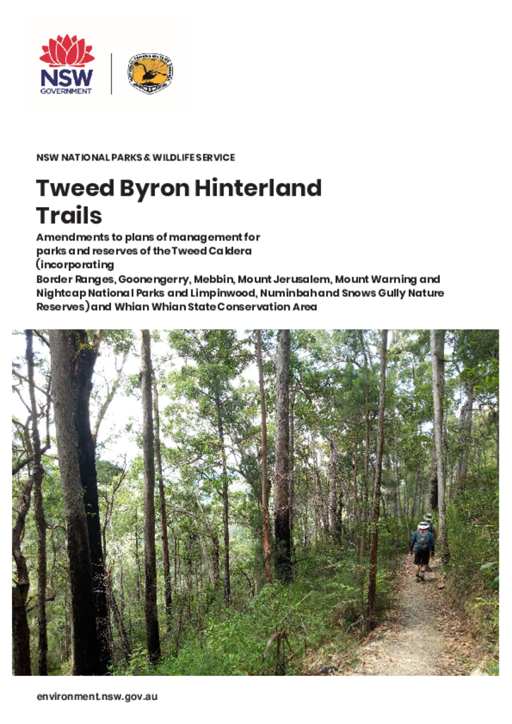
A major focus of the amendments is development of a multi-day walking track route linking Tweed Shire, via Mount Jerusalem National Park, to the visitor area at Minyon Falls in Nightcap National Park.