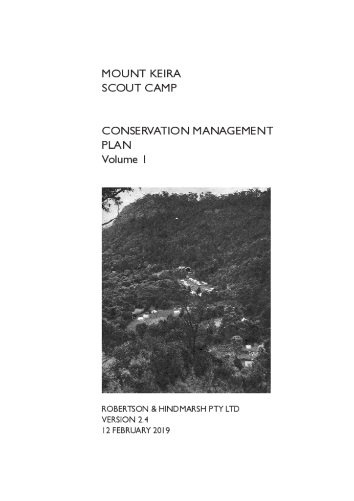
The scout camp site lies within the Mount Keira precinct of the Illawarra Escarpment State Conservation Area owned by the NSW Government and administered by the Department of Planning, Industry and Environment.
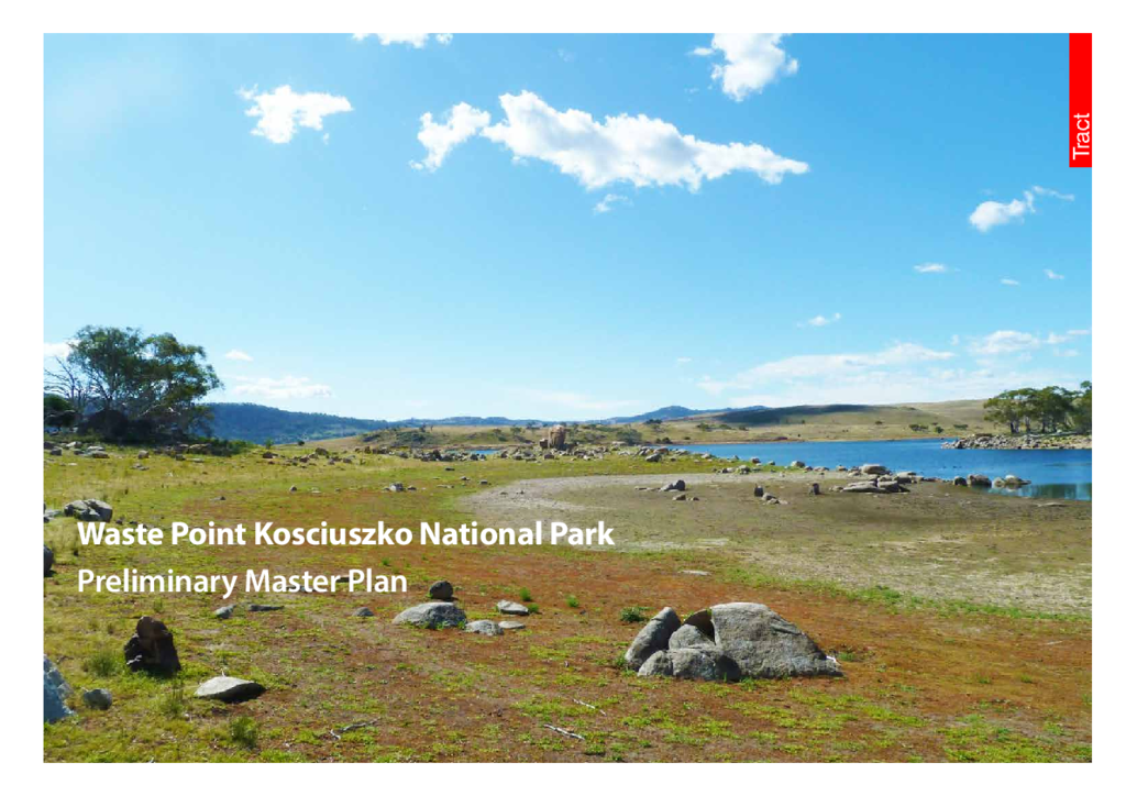
This report identifies and explores options for creating sustainable nature-based experiences for people at Waste Point that respect and include the history of the site.
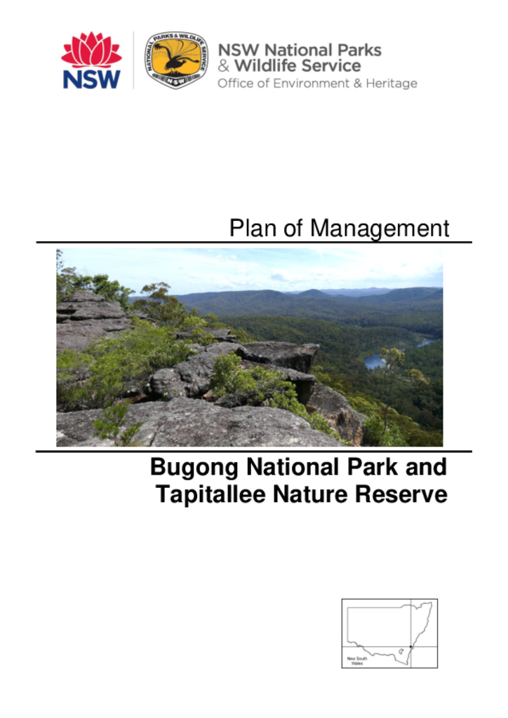
Bugong National Park and Tapitallee Nature Reserve are located on the south coast of New South Wales, 14 and 7 kilometres north-west of Nowra. The national park has a total area of 1022 hectares and the nature reserve is 94 hectares.
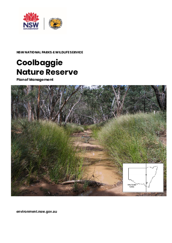
Coolbaggie Nature Reserve is located in central-west NSW, 30 kilometres north-east of Dubbo. This nature reserve comprises two parcels of land: Coolbaggie West is 1042 hectares and Coolbaggie East is 733 hectares.
Gamilaroi Nature Reserve is situated within the north-west slopes and plains region of NSW, in the Brigalow Belt South Bioregion. The Nature Reserve lies 7km south of the town Terry Hie Hie. This is an area of great spiritual significance to the Aboriginal community, as it is related to the area known as the Great Ancestral Bora of Biamme, the most important of all Bora Grounds of the Kamilaroi people.
Oxley Wild Rivers National Park, Oxley Wild Rivers State Conservation Area, Cunnawarra National Park and Georges Creek Nature Reserve are located on the eastern edge of the Northern Tablelands of NSW, 350 kilometres north of Sydney and 15 kilometres south-east of Armidale. Kempsey, Port Macquarie and Tamworth are all within 140 kilometres.
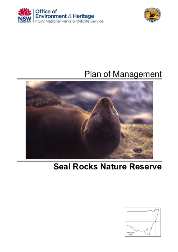
Seal Rocks Nature Reserve was established in 1972 and consists of 2 exposed low-lying rocks, less than one hectare in size. It is situated 3 kilometres offshore from Myall Lakes National Park in the Lower North Coast of New South Wales.
This document discusses the planning matters considered in preparing the Hill End Historic Site Plan of Management. Hill End Historic Site conserves an important part of the history of 19th century gold-mining in New South Wales through a rich and authentic collection of standing heritage buildings and moveable heritage. It is located approximately 75 kilometres from the regional cities of Bathurst and Mudgee, and 38 kilometres from Sofala, another former goldmining town.