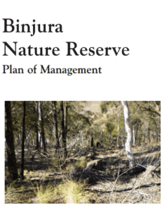
Binnaway and Weetalibah Nature Reserves are located within the north west slopes and plains of New South Wales. The Reserves are situated within the foothills and low ridge country south of the Warrumbungle Range and west of the Great Dividing Range.
Brindabella National Park is located in southern New South Wales and adjoin the Australian Capital Territory, 30 kilometres west of Canberra. The Brindabella State Conservation Area became a national park in 2013. The park covers an area of 21,352 hectares and is at the northern extent of the Brindabella Range and at the northern limit of the Australian Alps National Parks.
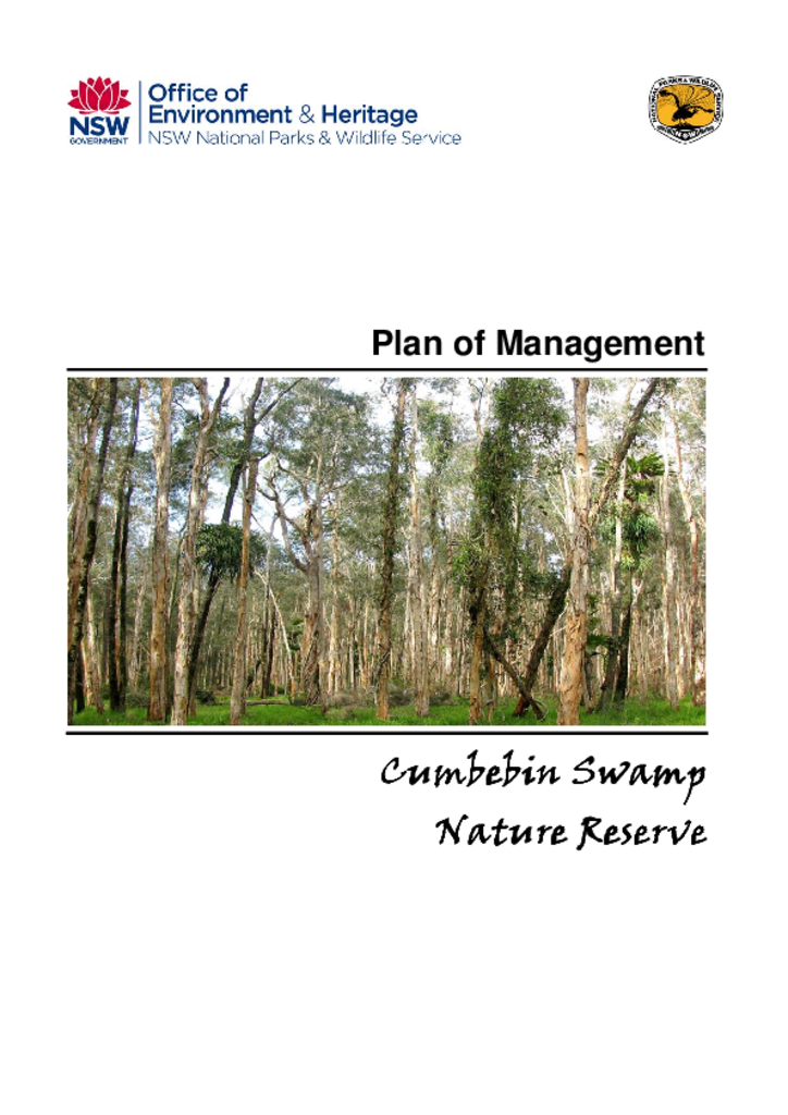
Cumbebin Swamp Nature Reserve is located adjacent to Byron Bay on the far north coast of New South Wales. It has an area of 91 hectares and was established in 1999 to protect a significant component of the Belongil-Cumbebin wetland.
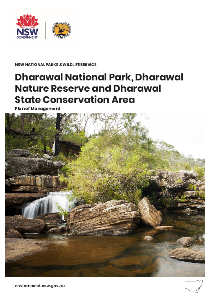
The Dharawal parks are located approximately 45 kilometres south-west of Sydney between Georges River and Illawarra Escarpment. They are in the traditional Country of the Dharawal People, with the naming of the parks reflecting the connection that Aboriginal people have with this place.
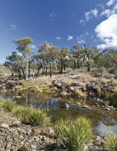
Hattons Corner Nature Reserve lies 3 kilometres west of Yass, on the southern tablelands of NSW. It comprises four hectares of native grassland on the banks of the Yass River and was established as a nature reserve in 1982 because of its significant geological values.
Kings Plains National Park is located on the Northern Tablelands, approximately 50 kilometres north-west of Glen Innes. It covers an area of approximately 6,918 hectares.
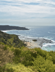
Mimosa Rocks National Park covers 5,804 hectares between Tathra and Bermagui on the Far South Coast of NSW. It includes 20 kilometres coastline as well as areas of hinterland forest.
Munmorah State Conservation Area is located on the Central Coast between Budgewoi and Catherine Hill Bay, approximately 40 kilometres north of Gosford. Bird Island Nature Reserve is located about 1.6 kilometres offshore of Birdie Beach.