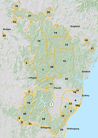
Map showing fauna of the Greater Sydney region, from the Goulburn River National Park near Mudgee, in the north west, to Mittagong and Wollongong in the south