About the bioregion
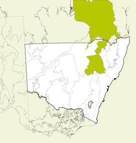
The Brigalow Belt South bioregion is within the eastern subhumid region of Australia. The climate varies from subhumid to hot and semi-arid. The Brigalow Belt South bioregion consists of a wide variety of landscapes derived from basalt and quartz soils.
The Liverpool Range, in the south-east of this bioregion, is the largest lava field in New South Wales and has important grassland ecosystems.
The Warrumbungles, further north, display many volcanic attributes.
Only a small area is under conservation management, with national parks and nature reserves making up most of this area. There are some private conservation agreements, wildlife refuges and state forests. Most of this bioregion has been cleared.
Read Chapter 11, the Brigalow Belt South Bioregion, in Bioregions of New South Wales: Their biodiversity, conservation and history for more information.
Bioregion area
- 27,219,776 hectares in total
- 5,623,054 hectares in New South Wales.
Parks, reserves and conservation areas
This bioregion includes:
-
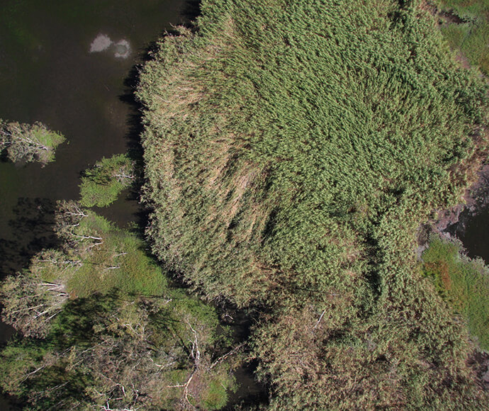
An aerial photo of reeds in the Northern Marsh, Macquarie Marshes -
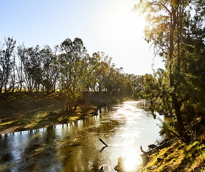
Macquarie River, Dubbo -
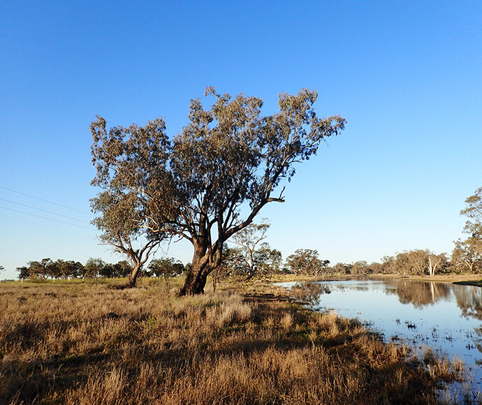
Tree along a creek, Gwydir catchment -
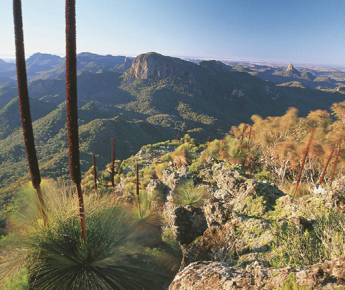
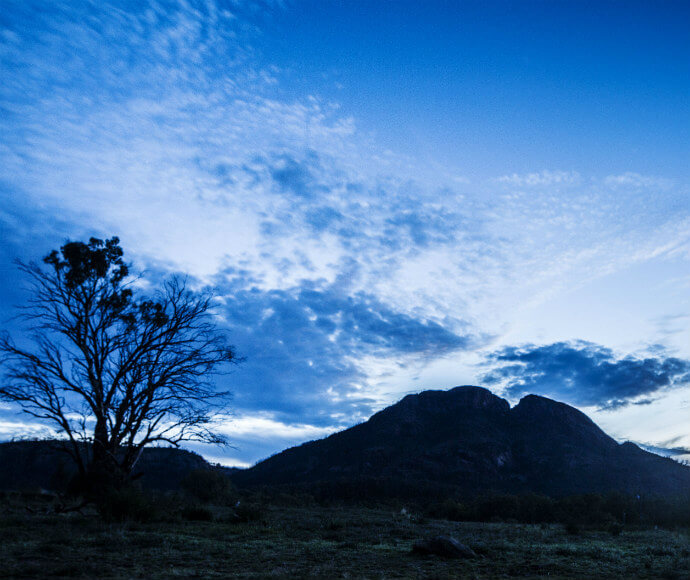
Warrumbungle National Park. Warrumbungle is a Gamilaroi word meaning crooked mountains -
Warrumbungle National Park, declared Australia's first Dark Sky Park in 2016 -
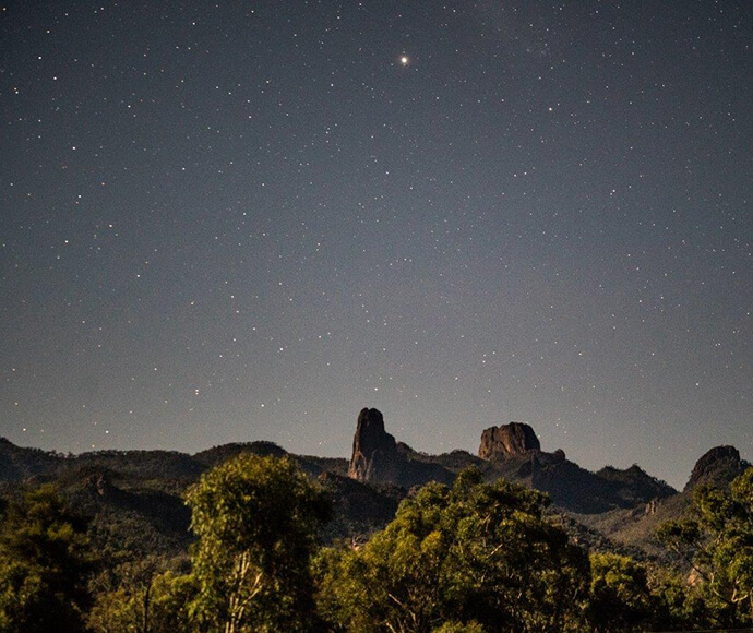
Clear night sky with stars, Warrumbungle National Park -
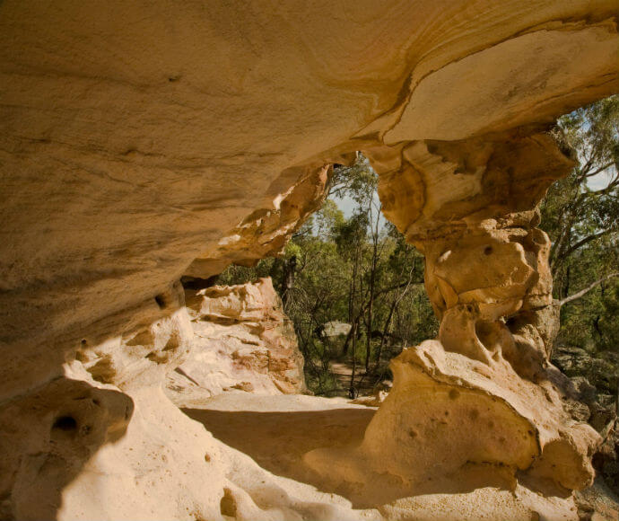
Warrumbungle National Park sandstone caves -
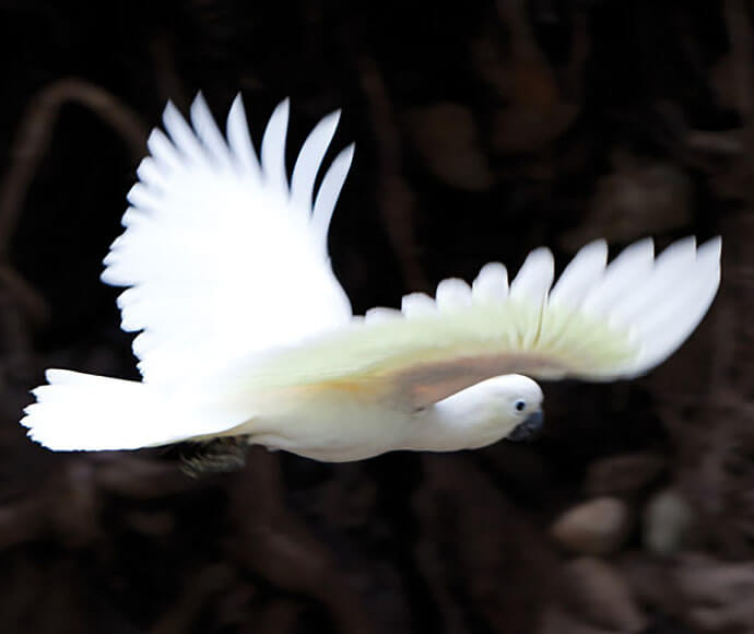
Sulphur crested white cockatoo Cacatua galerita in flight Warrumbungle National Park