About the bioregion
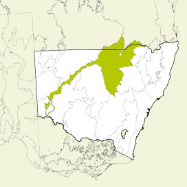
The Darling River corridor extends from Bourke almost to the southern edge of the Menindee Lakes, and south through the Murray Darling Depression Bioregion to the Victorian border where the Darling joins the Murray River.
The main body of the bioregion extends from east of Boggabilla to Weilmoringle on the Queensland border, south almost to Peak Hill and west to Nyngan and Bourke. The bioregion is traversed by the Western Division boundary. In central north New South Wales, the Darling Riverine Plains Bioregion includes the lower reaches and alluvial fans of several rivers.
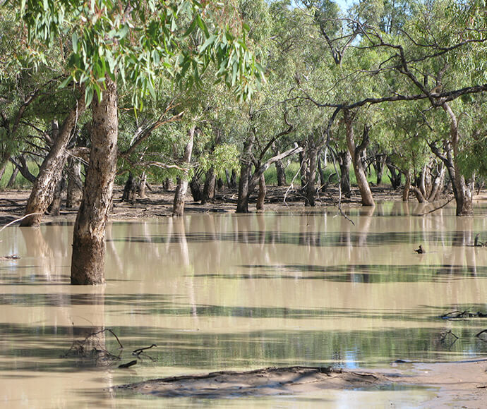
The climate is mostly hot and semi-arid with small subtropical areas in the south-east.
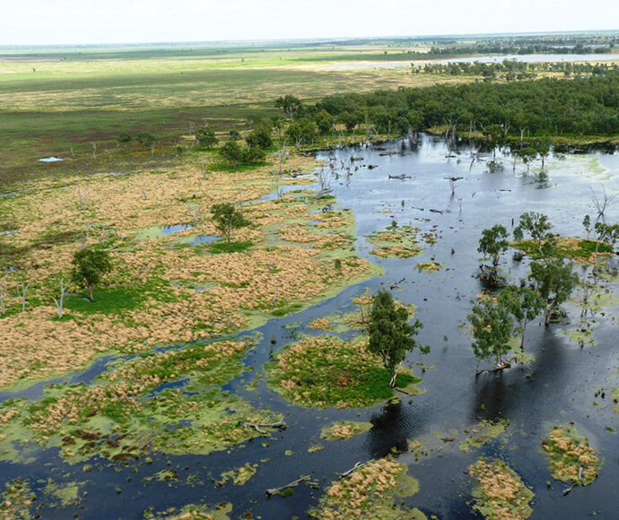
There is a wide variety of vegetation, from that along the river channels to the most distant floodplains and several threatened species are found in this bioregion.
National parks, wildlife refuges and nature reserves within this bioregion include the Ramsar-listed Macquarie Marshes, Gwydir Wetlands and Narran Lake Nature Reserve.
The bioregion falls entirely in the Murray-Darling Basin and includes the Macintyre-Dumaresq, Culgoa, Narran, Warrego, Paroo, Moonie, Barwon, Gwydir, Namoi, Macquarie, Yanda, Castlereagh and Darling catchments.
Read Chapter 6, the Darling Riverine Plains Bioregion, in Bioregions of New South Wales: Their biodiversity, conservation and history for more information.
Bioregion area
- 10,699,769 hectares in total
- 9,413,084 hectares in New South Wales
Parks, reserves and conservation areas
This bioregion includes:
-
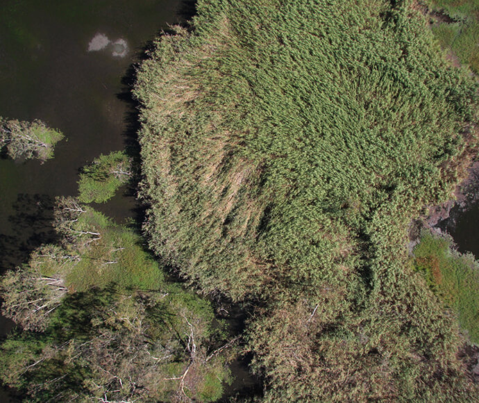
An aerial photo of reeds in the Northern Marsh, Macquarie Marshes -
Macquarie Marshes, southern nature reserve -
Nebine Creek, Culgoa National Park -
Nebine Creek, Culgoa National Park -
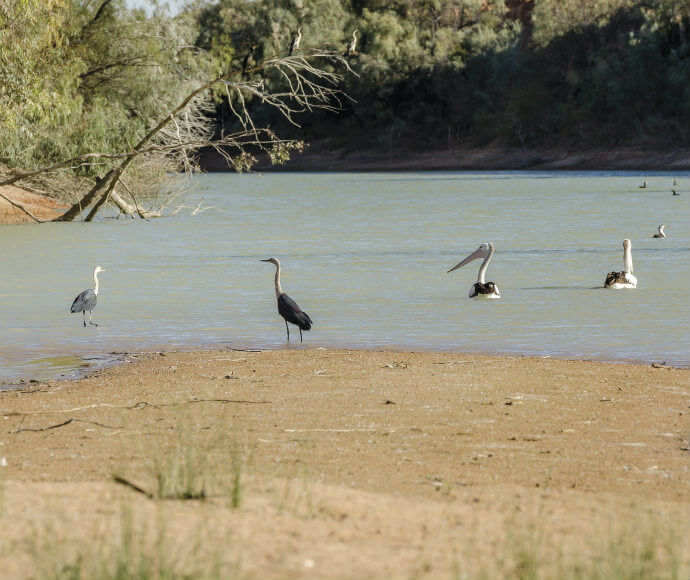
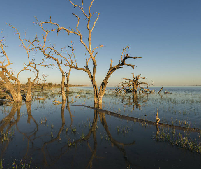
Pelicans and cormorants, Kinchega National Park -

Front view of Crucifix frog (Notaden bennettii) at night -
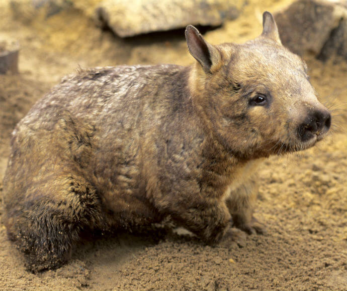
Southern hairy-nosed wombat (Lasiorhinus latifrons), endangered species -
Southern hairy-nosed wombat (Lasiorhinus latifrons), endangered species