About the bioregion
The NSW North Coast bioregion is bounded by the Sydney Basin bioregion in the south, the South East Queensland bioregion to the north and the Nandewar and New England Tablelands bioregions to the west. It is one of only 2 bioregions falling entirely within New South Wales, the other being Cobar Peneplain bioregion.
Before IBRA version 6, the South East Queensland bioregion did not extend beyond the Queensland border. A large part of what was NSW North Coast bioregion is now South East Queensland, which now extends 200 km south, to encompass Grafton.
The NSW North Coast bioregion is a popular place to live, with many holiday towns lining the coast and eastern inland, including Port Macquarie, Coffs Harbour, Dorrigo, Forster and Taree.
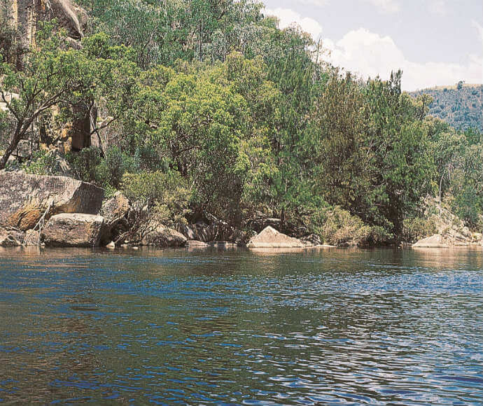
The Coffs Harbour, Bellinger, Nambucca, Macleay, Hastings and Manning river catchments are all in this bioregion.
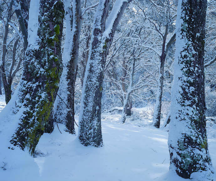
The climate ranges from sub-tropical in the east through to temperate in the uplands. There is a small area at higher elevation in the south-west with a montane climate.
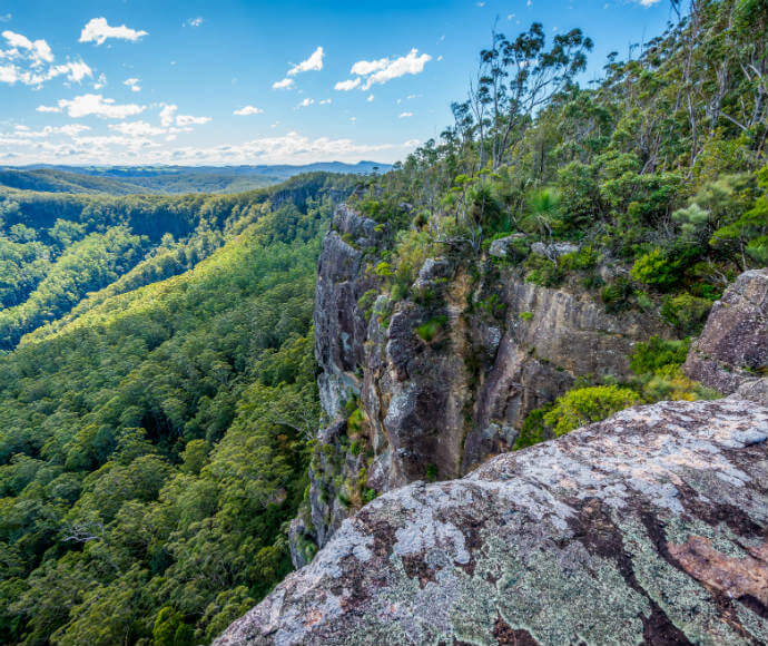
There is a wide variety of soils, vegetation, climate and topography within this bioregion. The NSW North Coast bioregion has over 370 threatened animal and plant species. There are 8 significant wetlands, including the Ramsar-listed Myall Lakes, that provide habitat to many waterbirds and threatened mammals.
The NSW North Coast bioregion has the second highest area of conservation-oriented mechanisms in New South Wales, covering over 18% of the bioregion.
Read Chapter 14, the North Coast Bioregion, in Bioregions of New South Wales: Their biodiversity, conservation and history for more information.
Bioregion area
This bioregion is 3,996,591 hectares in total, all in New South Wales.
Parks, reserves and conservation areas
This bioregion includes:
- Arakoon National Park
- Barrington Tops National Park
- Bindarri National Park
- Bongil Bongil National Park
- Boorganna Nature Reserve
- Booti Booti National Park
- Brimbin Nature Reserve
- Carrai National Park
- Cascade National Park
- Chaelundi National Park
- Coorabakh National Park
- Cottan-Bimbang National Park
- Crowdy Bay National Park
- Cunnawarra National Park
- Dooragan National Park
- Dorrigo National Park
- Dunggir National Park
- Guy Fawkes River National Park
- Hat Head National Park
- Lake Innes Nature Reserve
- Limeburners Creek National Park
- Macquarie Nature Reserve
- Mann River Nature Reserve
- Middle Brother National Park
- Moonee Beach Nature Reserve
- Moore Park Nature Reserve
- Mount Hyland Nature Reserve
- Mount Royal National Park
- Mummel Gulf National Park
- Muttonbird Island Nature Reserve
- Myall Lakes National Park
- New England National Park
- Nowendoc National Park
- Nymboi-Binderay National Park
- Nymboida National Park
- Oxley Wild Rivers National Park
- Saltwater National Park
- Sea Acres National Park
- Seaham Swamp Nature Reserve
- Tapin Tops National Park
- Ulidarra National Park
- Wallingat National Park
- Werrikimbe National Park
- Willi Willi National Park
- Wingham Brush Nature Reserve
- Woko National Park
- Yarriabini National Park.
-
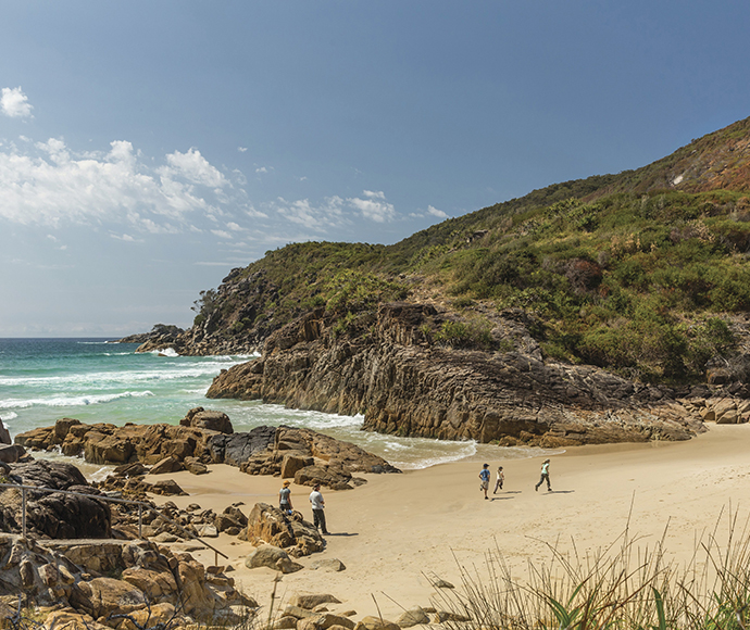
Little Bay, Arakoon National Park -
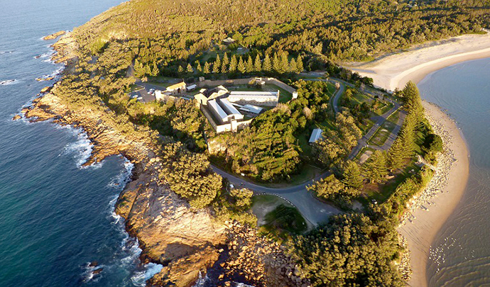
Trial Bay Gaol, Arakoon National Park -
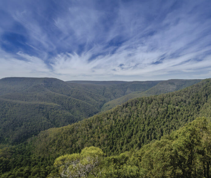
Mountain landscape view, Barrington Tops National Park -
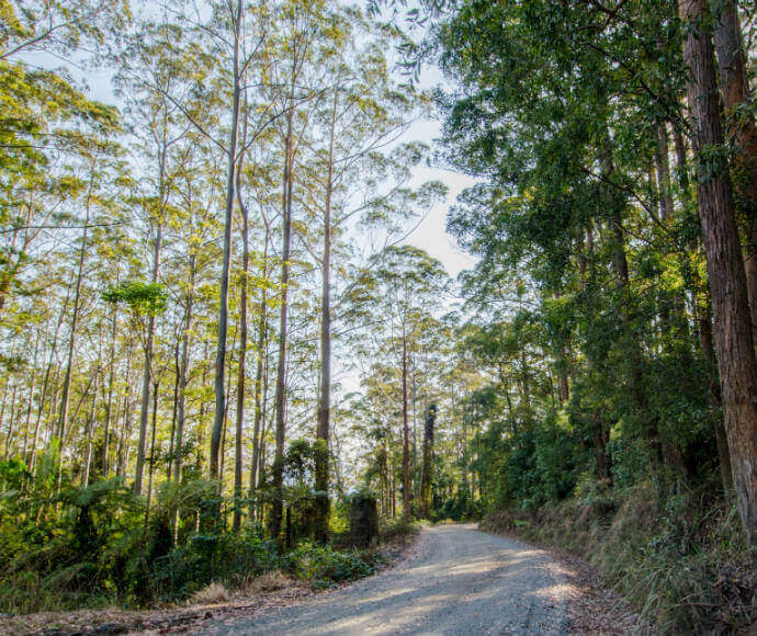
Hastings Forest Way, Willi Willi National Park -
Namoi River, habitat of the Bell's turtle, Northern Tablelands NSW -
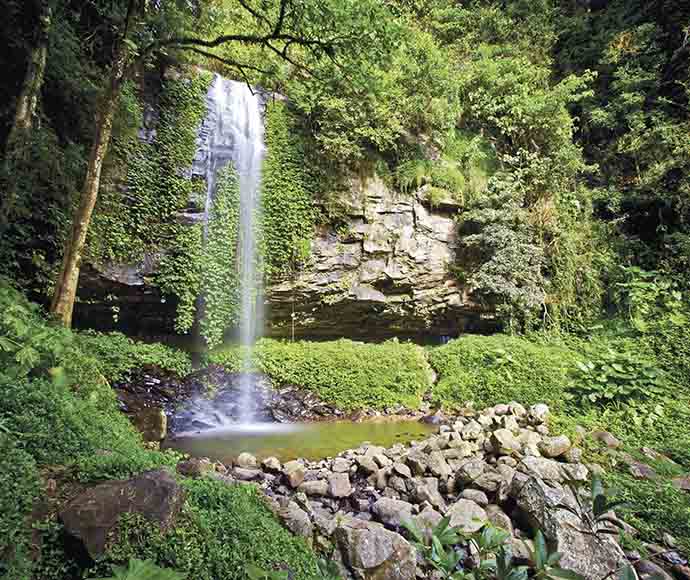
Crystal Shower Falls, Dorrigo National Park -
Coorabakh National Park -
Barrington Tops National Park