About the bioregion
The NSW section of the bioregion is in the NSW Western Division. The bioregion is bounded by the Simpson-Strzelecki Dunefields and Broken Hill Complex bioregions in the west and the Darling River in the Darling Riverine Plains Bioregion bounds the Mulga Lands to the south and east.
The Paroo River flows through Wanaaring at the centre of the bioregion, the Warrego River flows through Enngonia to the east, and further east the Culgoa River flows parallel to the north-eastern border in the adjacent Darling Riverine Plains Bioregion.
It is hot, dry and semi-arid, with the western part having a more arid, desert climate. The dominant vegetation is mulga, and there are several endangered animals.
Read Chapter 5, the Mulga Lands Bioregion, in Bioregions of New South Wales: Their biodiversity, conservation and history for more information.
Bioregion area
- 25,188,333 hectares in total
- 6,581,779 hectares in New South Wales
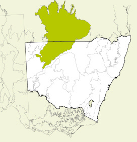
Map showing the Mulga Lands bioregion
Parks, reserves and conservation areas
This bioregion includes:
Gidgee trees, Culgoa National Park 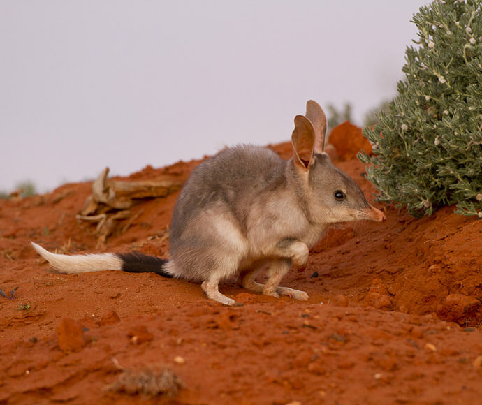
Bilby (Macrotis lagotis) 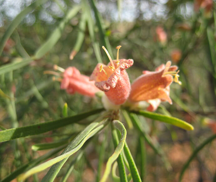
Emubush (Eremophila longifolia) in flower, Paroo-Darling National Park 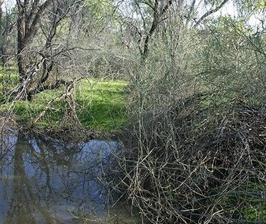
Aponogeton queenslandicus, habitat, Nocoleche Nature Reserve 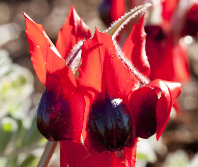
Sturt's desert pea (Swainsona formosa) 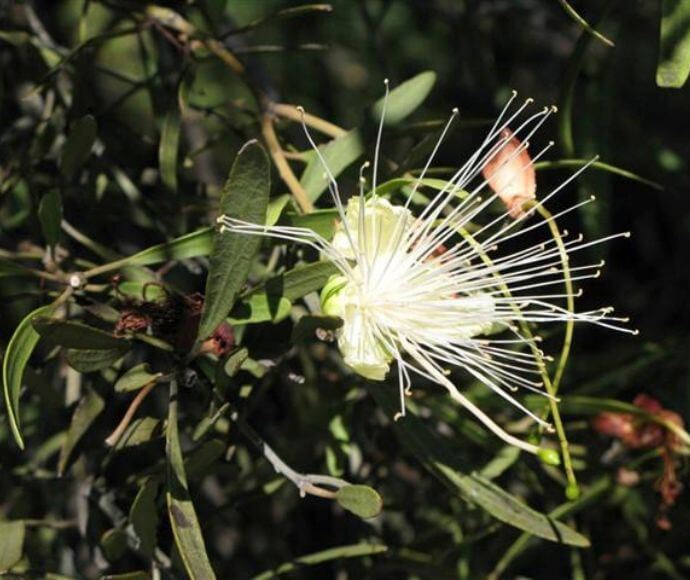
Narrow-leafed Bumble (Capparis loranthifolia var. loranthifolia) flower, Culgoa National Park 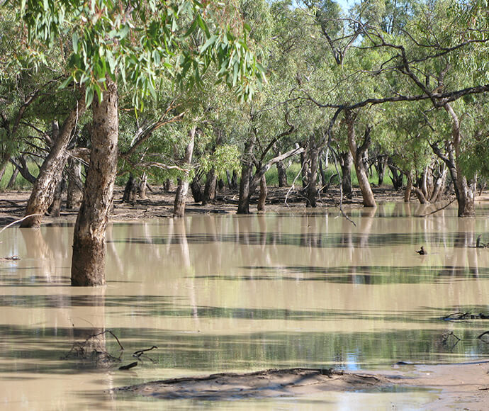
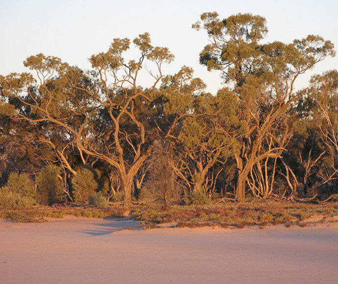
Nebine Creek, Culgoa National Park 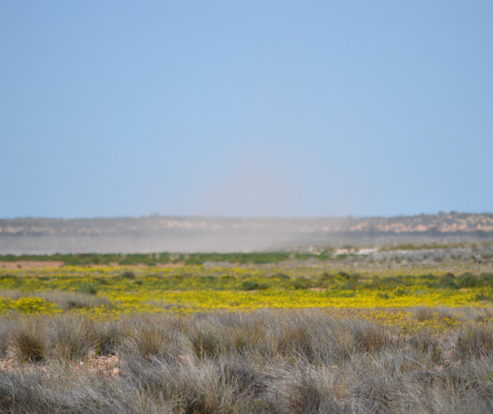
Peery Lake, Paroo Darling National Park, dry season