About the bioregion
The Cobar Peneplain bioregion is one of only two of the state's bioregions to occur entirely within the state, the other being the NSW North Coast bioregion. The bioregion extends from just south of Bourke to north of Griffith.
The climate is hot, dry and semi-arid. Rain falls mostly in summer in the north, and in winter in the south.
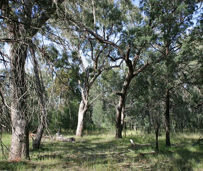
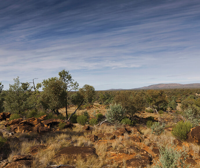
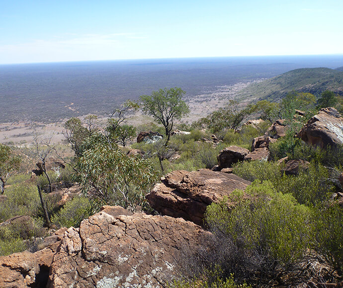
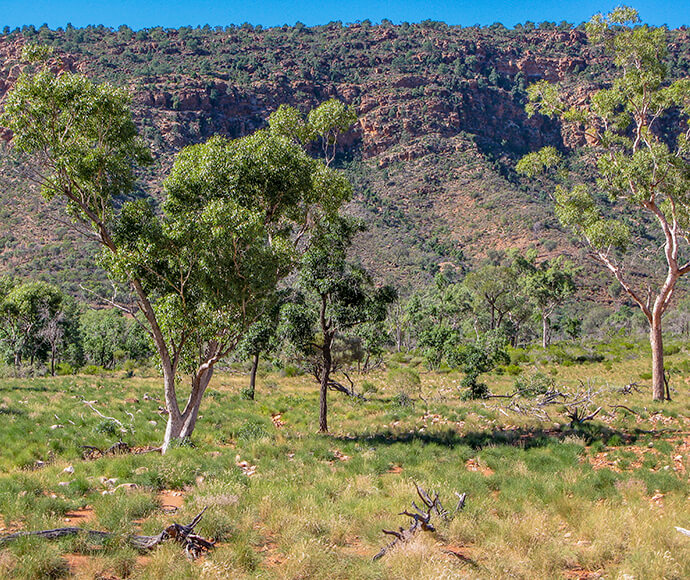
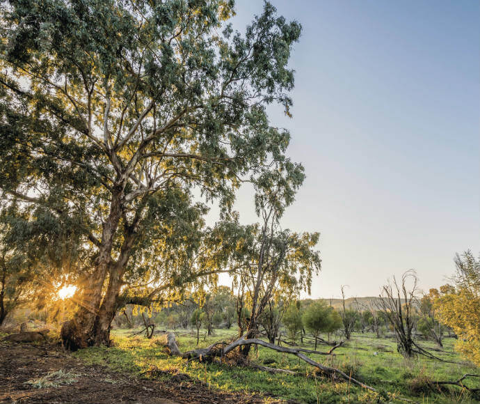
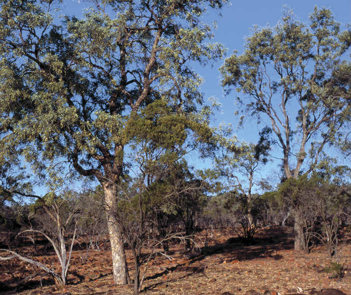
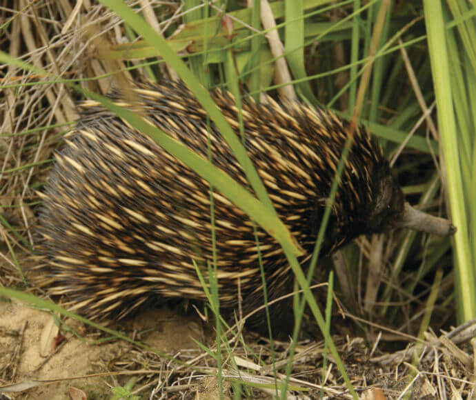
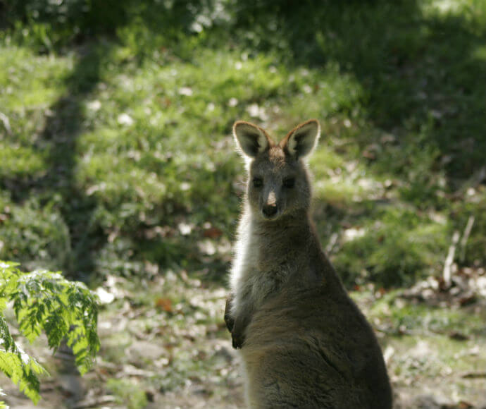
Vegetation is mostly open woodland with more arid areas dominated by mulga. This bioregion has several threatened species of plants and animals.
Lake Brewster is a nationally significant wetland that provides refuge to water birds, especially during drought.
The Cobar Peneplain bioregion is in the Murray-Darling Basin. The Darling, Bogan and Lachlan rivers and the Barwon, Macquarie, Yanda, Darling, Lachlan and Murrumbidgee catchments are within this bioregion.
There are several national parks and nature reserves in the Cobar Peneplain bioregion.
Read Chapter 9, the Cobar Peneplain Bioregion, in Bioregions of New South Wales: Their biodiversity, conservation and history for more information.
Bioregion area
The Cobar Peneplain bioregion is 7,385,346 hectares in total, all in New South Wales.
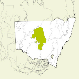
Map showing the Cobar Peneplain bioregion
Parks, reserves and conservation areas
This bioregion includes:
