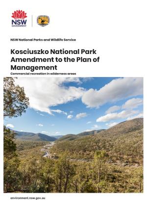
The reserve forms part of an almost continuous belt of native vegetation on the northern most extent of the Australian Alps and possesses a high diversity of vegetation types for such a relatively small area, due to the sharp changes in elevation. Up to seven distinct forest ecosystems have been identified within the reserve providing high quality habitat for a number of significant native fauna species.
Six animal species listed as vulnerable under the Threatened Species Conservation Act 1995 have been recorded in the reserve. These include the yellow-bellied glider, common bent-wing bat, powerful owl, barking owl, brown treecreeper and booroolong frog. A disused mineshaft in the reserve, apart from being of historical importance, is also important because it is used by juvenile cave dwelling bats.
Black Andrew Mountain and surrounding lands were once extensively used by Aboriginal people. A number of Aboriginal sites have been found on the reserve, two of which are considered to be of high local and regional significance due to the abundance and quality of the artefacts, the lack of similar sites identified within the region and the level of significance to local Aboriginal people.

