Most of the park consists of steep forested country along the northern part of the Cookbundoon Range and rugged land east of the range. The Tarlo River meanders south to north through the park, creating a 40 kilometre long gorge. Several uncommon plant communities and threatened plant and animal species occur, and the park has extensive areas of koala habitat, although the presence of koalas has not yet been confirmed.
The protection of native plant and animal communities of the park requires fire and pest management (control of feral goats, foxes and cats) programs.
A few Aboriginal camp sites have been recorded in the park and many more sites are expected to occur. Fencelines, clearings, house remains, a shale quarry and diggings provide evidence of previous grazing and mining activities in the park. Aboriginal sites and historic places will be conserved and the Aboriginal community consulted about management of Aboriginal values.
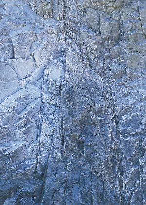
Photo: Tarlo River National Park/Jeremy Little