Hazard reduction burn in southern Blue Mountains National Park
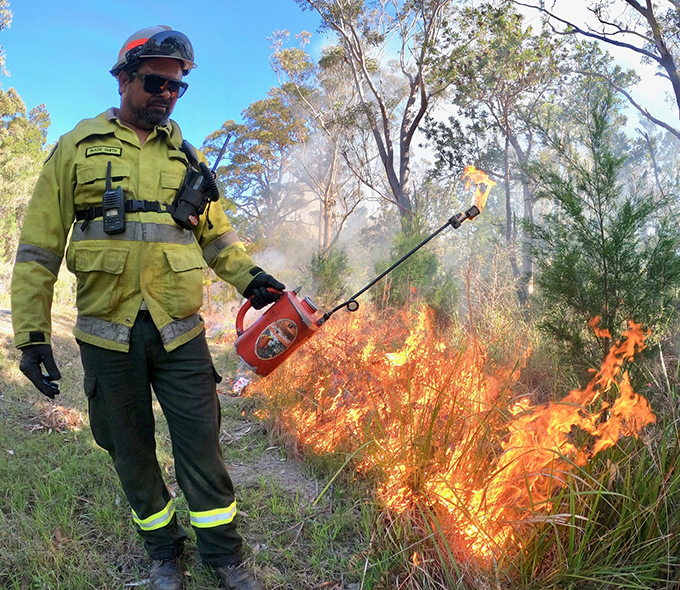
The National Parks and Wildlife Service (NPWS), assisted by the NSW Rural Fire Service (NSWRFS) and Forestry Corporation is planning a hazard reduction burn in southern Blue Mountains National Park on Wednesday 13 and Thursday 14 March 2024.
The burn at Upper Werong Creek in southern Blue Mountains National Park will be bounded by Mount Werong Road, Cosgrove Road, Jerrong Road, and Upper Werong Creek Trail.
The purpose of the 922-hectare burn is to reduce the field levels while helping to protect forest plantations and the natural assets in the area.
Motorists in surrounding areas are reminded to be aware of potential smoke hazard, drive to conditions and obey any traffic directions in place.
All burns across New South Wales are coordinated with the RFS and FRNSW to ensure the impact on the community, including from smoke, is assessed at a regional level.
Details on specific burns will be made available in advance on the Rural Fire Service website, the Hazards Near Me app, and on the NPWS Alerts website.
For health information relating to smoke from bushfires and hazard reduction burns, visit NSW Health or the Asthma Australia website.
For up-to-date information on hazard reduction burns, visit the Rural Fire Service website.