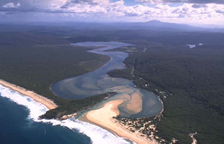
Wonboyn River is located on the far south coast of New South Wales, south of the township of Eden. It is classed as a barrier river with an entrance that is intermittently open and closed to the ocean
Wonboyn River winds through forested coastal ranges for about 10 kilometres before meeting the sea at Disaster Bay. The estuary supports an significant oyster industry.
Water quality report card
As part of our water quality monitoring program we assess the water quality and ecosystem health of an estuary using a range of relevant indicators. We sample a subset of the estuaries between Wollongong and the Victorian border every 3 years. The most recent sampling in Wonboyn River was completed over the 2023–24 summer when 2 sites were sampled on a monthly basis.
This report card represents 2 water quality indicators that we routinely measure: the amount of algae present and water clarity. Low levels of these 2 indicators equate with good water quality. The numerical scores for these 2 indicators are averaged to give the overall grade.
The report card shows the condition of the estuary was good with:
- algae abundance graded good (B)
- water clarity graded excellent (A)
- overall estuary health graded good (B).
Grades for algae, water clarity and overall are represented as:
- A – excellent
- B – good
- C – fair
- D – poor
- E – very poor.
Go to estuary report cards to find out what each grade means, read our sampling, data analysis and reporting protocols, and find out how we calculate these grades.
We have monitored water quality in Wonboyn River since 2011. This table shows the water quality grades for this estuary over that time.
| Year | Algae | Water clarity | Overall grade |
|---|---|---|---|
| 2023–24 | B | A | B |
| 2016–17 | B | A | B |
| 2013–14 | A | A | A |
| 2011–12 | D | A | B |
Physical characteristics
| Estuary type | Barrier river |
|---|---|
| Latitude | –37.25 (ºS) |
| Longitude | 149.97 (ºE) |
| Catchment area | 335.4 km2 |
| Estuary area | 4.2 km2 |
| Estuary volume | 9809.1 ML |
| Average depth | 2.7 m |
Tidal exchange volume
Tidal exchange volume or tidal prism data is available for this estuary. This tidal prism was measured in 1997.
| Tide state | Flow (ML) | Local tidal range (m) | Sydney Harbour tidal range (m) |
|---|---|---|---|
| Ebb flow | 620 | 0.14 | 1.54 |
| Flood flow | 560 | 0.16 | 1.58 |
Notes: km2 = square kilometres; m = metres; m3 = cubic metres; ML = megalitres.
Water depth and survey data
Bathymetric and coastal topography data for this estuary are available in our data portal.
Land use
The catchment of Wonboyn River is forested except for a small patch of urban and grazing land associated with the townships of Wonboyn and Narrabarba. Most of the forested land is managed by Forestry Corporation and a small section forms part of Ben Boyd National Park.
National and marine parks
- South East Forests National Park is the largest conservation area in this catchment.
- This estuary does not flow into a marine park.
Seafood harvest area status
The NSW Food Authority website lists the current status of oyster/shellfish harvest areas.
Local government management
Local councils manage estuaries within their area. Where an estuary is attached to a marine park, marine park management teams are responsible for ensuring compliance with marine park zoning. Bega Valley Shire Council manage this estuary.
Threatened species
This estuary supports Australian saltgrass habitat, which is endangered in New South Wales.
Read more about the biodiversity in our estuaries.