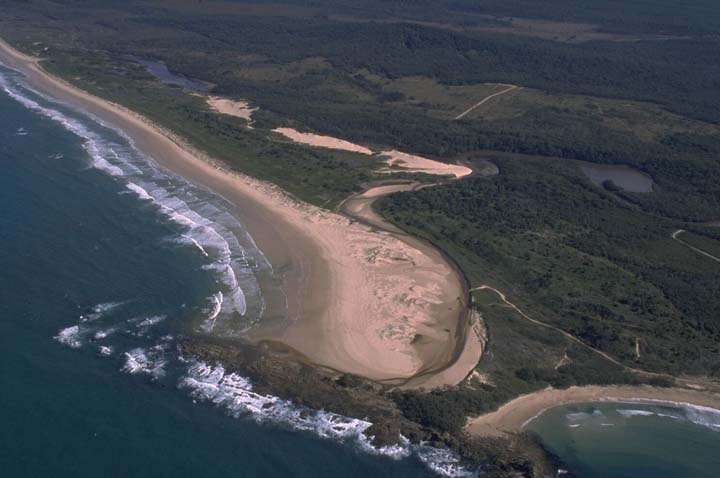
Station Creek estuary is classed as a lagoon and is located within the southern part of Yuraygir National Park on the north coast of New South Wales.
The entrance to this estuary is intermittently open/closed to the sea. Station Creek represents a near-pristine estuary.
Water quality report card
As part of our water quality monitoring program we assess the water quality and ecosystem health of an estuary using a range of relevant indicators. We sample a subset of the estuaries located between the Queensland border and Taree every 3 years. The most recent sampling in Station Creek was completed over the 2021–22 summer, when 2 sites were sampled on a monthly basis.
This report card represents 2 water quality indicators that we routinely measure: the amount of algae present and water clarity. Low levels of these 2 indicators equate with good water quality.
The report card shows the condition of the estuary was good with:
- algae abundance graded good (B)
- water clarity graded excellent (A)
- overall estuary health graded good (B).
Grades for algae, water clarity and overall are represented as:
- A – excellent
- B – good
- C – fair
- D – poor
- E – very poor.
Go to estuary report cards to find out what each grade means, read our sampling, data analysis and reporting protocols, and find out how we calculate these grades.
We have monitored water quality in Station Creek since 2010. This table shows the water quality grades for this estuary over that time.
| Year | Algae | Water clarity | Overall grade |
|---|---|---|---|
| 2009–10 | A | C | B |
| 2012–13 | A | A | A |
| 2015–16 | B | A | B |
| 2016–17 | B | C | B |
Physical characteristics
| Estuary type | Lagoon |
|---|---|
| Latitude (ºS) | –29.94 |
| Longitude (ºE) | 153.26 |
| Catchment area (km2) | 21.36 |
| Estuary area (km2) | 0.3 |
| Estuary volume (ML) | 131.5 |
| Average depth (m) | 0.5 |
Notes: km2 = square kilometres; m = metres; ML = megalitres.
Water depth and survey data
Bathymetric and coastal topography data for this estuary are available in our data portal.
Land use
Most of Station Creek catchment is protected within Yuraygir National Park. The remainder is managed by the Forestry Corporation of NSW as part of Barcoongere Forest. A small camping area is located near the lower estuary, which has access roads.
National and marine parks
- Station Creek estuary is located within Yuraygir National Park and forms part of the Solitary Islands Marine Park.
Citizen science projects
- Caring for our Coastal Emus is a citizen science project coordinated by Clarence Valley Council that involves an online register for collecting data about coastal emus and where they have been seen.
Local government management
Local councils manage estuaries within their area unless the estuary is attached to a marine park.
Clarence Valley Council manages Station Creek estuary, which is part of the Solitary Islands Marine Park.
Threatened species
The remote expanse around the entrance of Station Creek estuary is used as a nesting area for little terns and pied oystercatchers and is routinely roped off during their breeding season.
Find out more about the biodiversity in our estuaries.