Updated Plant Community Types make ecologists' work easier
Anyone managing or conserving biodiversity in eastern New South Wales will benefit from the update to Plant Community Types.
Plant Community Types (PCTs) are a way we categorise and describe the extraordinary complexity of native plants around us. This classification supports decisions from development approvals and environmental planning to bush fire management and wetlands protection.
Standardised for clear decisions
Plant Community Types have been updated and standardised, making them easier to understand and use. The updated Plant Community Types are scientifically robust and consistent so that users can make clear decisions. There are supporting tools and maps to help users, and all the data is publicly accessible.
Now anyone can accurately identify the Plant Community Types anywhere in New South Wales. This is the first step in understanding biodiversity. Once the Plant Community Type is identified, you can work out if this habitat supports any threatened plants or animals.
Plant Community Types for Eastern NSW were updated first because of the large human populations and ongoing pressure to modify land. This eastern area covers the coast and tablelands stretching from the Queensland border to Victoria, east of Orange, Tamworth and Dubbo.
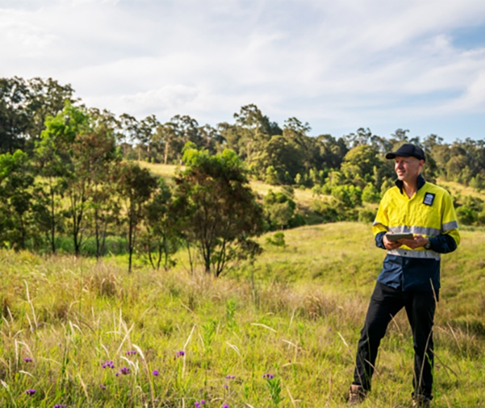
The University of New South Wales helped the team analyse the large amount of data to understand if there were any areas missing information. Next, the NSW Department of Planning and Environment project team filled these knowledge gaps with surveys on public and private land.
Dr Daniel Connolly, the project leader, explained, "We've updated the number and name of Plant Community Types, made descriptions consistent and provided detailed lists of all the plant species and environmental characteristics within each type".
Where to find them
The updated Plant Community Types work alongside the NSW State Vegetation Type Map. Already, this map is the most accessed dataset in SEED, with thousands of people using it every month. This shows how important native vegetation data is in people's day-to-day work across all levels of government and the private sector.
The vegetation maps are a shared, public resource that users can update. Whenever someone does a field assessment or survey, they can feed their data into SEED or BioNet so the datasets continue improving.
A free online tool has been made to help ecologists match their survey site with the updated Plant Community Types. The Plot to PCT Assessment Tool has been called a 'godsend for consultants' by Key Botany P/L.
The next step in this project is to update the Plant Community Types for western and central NSW. The team is well advanced on the western slopes, with lots of survey activity planned over the next 12 to 24 months.
Find out more
The updated Plant Community Types will not be applied to the Biodiversity Offset Scheme for at least 6 months to give everyone time to familiarise themselves with the changes. Head to the SEED data portal or the Trees Near Me NSW app to access the updated Plant Community Types in the NSW State Vegetation Type Map.