This document is the pest management strategy for the Northern Plains Region, which stretches from Geurie and Peak Hill in the south-west to Gunnedah in the east, north to the Queensland border near Yetman, and west to the Narran River and the townships of Warren and Narromine.
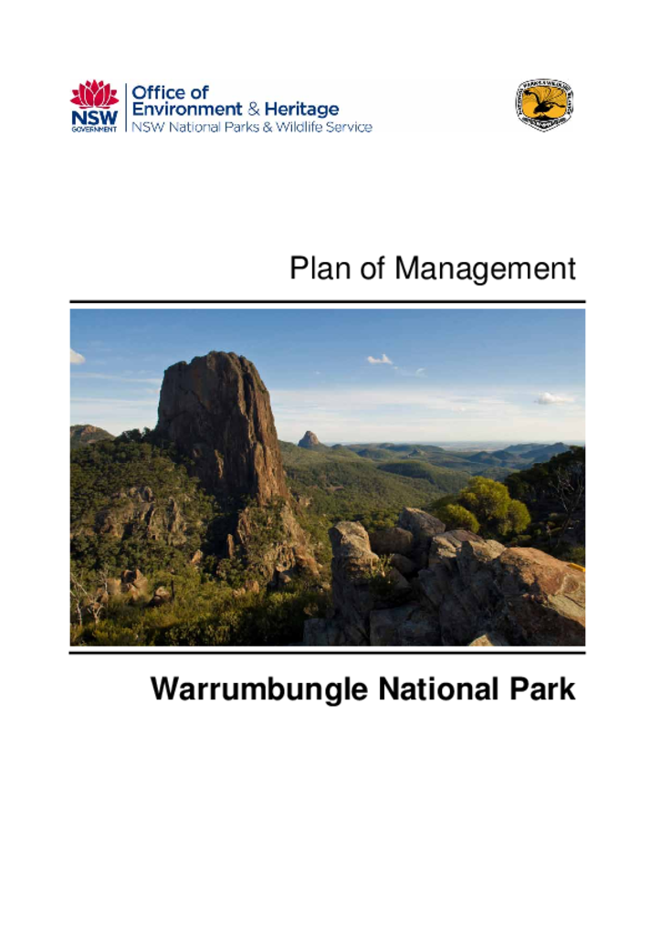
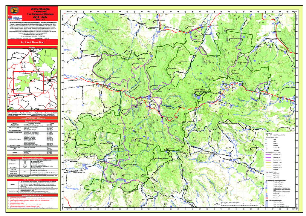
Warrumbungle National Park covers an area of 23,312 hectares and is located between the towns of Coonabarabran, Gilgandra and Coonamble on the north-west slopes of New South Wales.