Search
Content page
06 Jul 2023
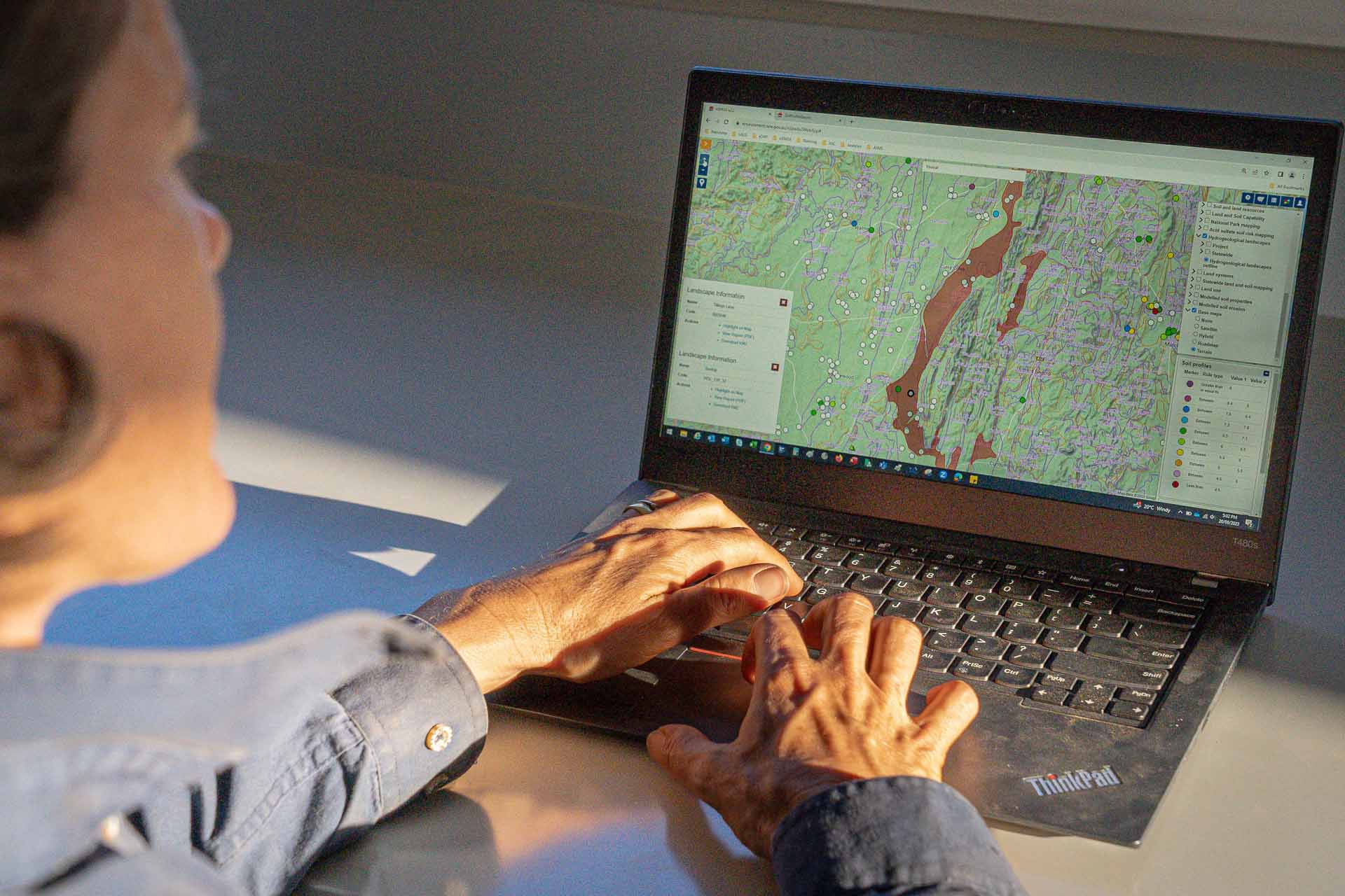
Record soil information using eDIRT | Land and soil
An internet system for recording soil profile information in the field and entering it into the Soil and Land Information System (SALIS).
Content page
15 Jan 2024
Store and share soil information using SALIS | Land and soil
Discover the wide range of land and soil information collected and stored in our database, how it’s accessed, and how you can contribute.
Content page
20 Sep 2024
About soil maps | Land and soil
Soil mapping describes the properties of soils and the landscapes in which they occur.
Content page
11 Jan 2024
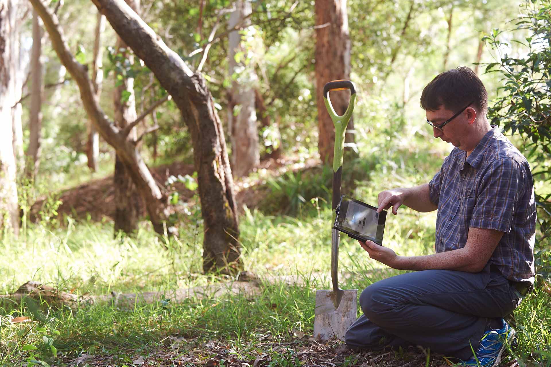
Laboratory soil test methods | land and soil
Soil sampling and analysis provide chemical and physical information about your soil quality.
Content page
20 Sep 2024
Soils Near Me NSW | Land and soil
Soil information is now easy to find using the new Soils Near Me NSW app, which brings soils to your fingertips.
Content page
19 Jun 2024
Aboriginal Heritage Information Management System – automated service
The Aboriginal Heritage Information Management System is being upgraded to enable the instant delivery of site cards and reports, and automated payments.
Content page
23 May 2024
Hill End Historic Site office | Locations
Contact the Hill End Historic Site office - National Parks and Wildlife Service. You can get in touch with us by email, phone or mail.
Content page
26 Apr 2024
Managing land and soil | Land and soil
Why do we need healthy soils and how do we know if they’re healthy? And what part does land management play in soil health?
Content page
21 May 2024
Soil degradation | Land and soil
Understand how the quality of soil declines and what causes this decline.
Content page
23 May 2024
Coonabarabran office | Locations
Contact the Coonabarabran office - National Parks and Wildlife Service. You can get in touch with us by email, phone or mail.