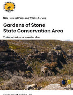
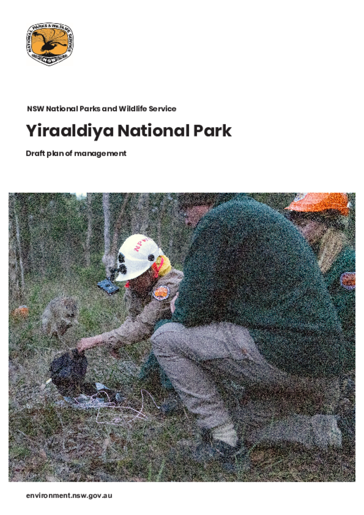
This master plan seeks to establish the park as a major sustainable visitor destination, delivering economic, social and community benefits for the Lithgow region. It is focused on balancing sustainable recreational and commercial use with natural and cultural values, while enhancing biodiversity and conservation outcomes across the Gardens of Stone State Conservation Area.
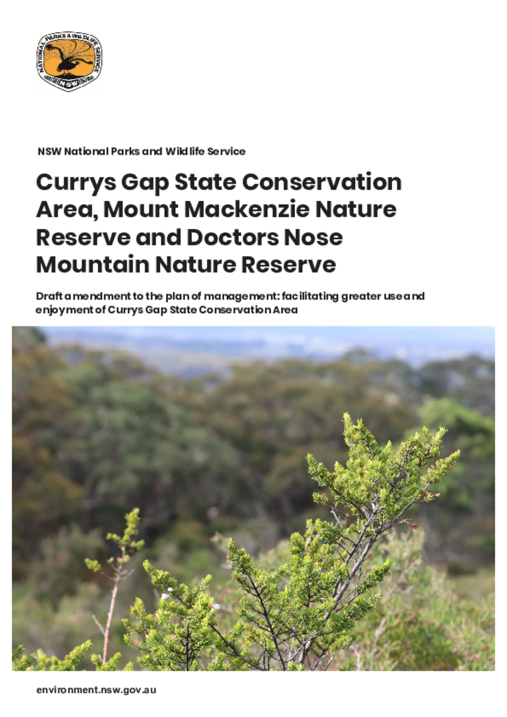
This draft amendment to the plan of management proposes facilitating greater use and enjoyment of Currys Gap State Conservation Area by providing scope for the development of cycling tracks in this park.
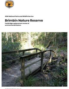
One of the existing footbridges on the Dawson River walking track in Brimbin Nature Reserve requires replacement as it has collapsed after receiving significant damage following a localised flooding event.