Lane Cove River is situated within the Sydney Metropolitan region of New South Wales. This estuary is classed as a drowned valley and flows into Sydney Harbour from the north-western part of Greater Sydney.
Lane Cove River winds through a bushland valley that plays a huge ecological role in a largely urbanised area. Significant areas of mangroves flank the tidal estuary up to a weir located near Fullers Road Bridge, above which runoff enters the main channel from urban streams and drains.
Water quality report card
As part of our water quality monitoring program we assess the water quality and ecosystem health of an estuary using a range of relevant indicators. We sample a subset of the estuaries located between Taree and Wollongong every 3 years. The most recent sampling in the Lane Cove River was completed over the 2019–20 summer, when 2 sites were sampled on a monthly basis.
This report card represents 2 water quality indicators that we routinely measure: the amount of algae present and water clarity. Low levels of these 2 indicators equate with good water quality.
Algae
Water clarity
Overall grade
The report card shows the condition of the estuary was fair with:
- algae abundance graded poor (D)
- water clarity graded good (B)
- overall estuary health graded fair (C).
Grades for algae, water clarity and overall are represented as:
- A – excellent
- B – good
- C – fair
- D – poor
- E – very poor.
Go to estuary report cards to find out what each grade means, read our sampling, data analysis and reporting protocols, and find out how we calculate these grades.
We have monitored water quality in Lane Cove River since 2010. This table shows the water quality grades for this estuary over that time.
| Year | Algae | Water clarity | Overall grade |
|---|---|---|---|
| 2010–11 | C | B | C |
| 2013–14 | D | B | C |
| 2016–17 | D | B | C |
Physical characteristics
| Estuary type | Drowned valley |
|---|---|
| Latitude | –33.84 (ºS) |
| Longitude | 151.18 (ºE) |
| Catchment area | 95.4 km2 |
| Estuary area | 3 km2 |
| Estuary volume | 12,600 ML |
| Average depth | 4.2 m |
Notes: km2 = square kilometres; m = metres; ML = megalitres.
Water depth and survey data
Bathymetric and coastal topography data for this estuary are available in our data portal.
Land use
The catchment of Lane Cove River is highly disturbed. About three-quarters of the catchment has been modified for urban and industrial development. The remaining area is forested, a lot of which is protected within the Lane Cove National Park.
National and marine parks
- Lane Cove National Park is the largest conservation area in this catchment.
- This estuary does not flow into a marine park.
Citizen science projects
- Streamwatch is a citizen science program with an active volunteer group located in Lane Cove.
Community involvement
- The Lane Cove Bushland and Conservation Society is a volunteer environmental and conservation organisation working to preserve the natural heritage of the Lane Cove area.
- Greater Sydney Landcare Network is a community organisation and an umbrella group for a host of Landcare organisations in the region. They have a number of projects listed on their website and support volunteers to get involved in work to protect, restore and improve the natural environment of Greater Sydney.
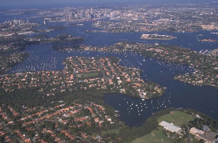
Aerial view of Lane Cove River
Local government management
Local councils manage estuaries within their area unless the estuary is attached to a marine park. This estuary flows through Ku-ring-gai, Ryde, Willoughby, Lane Cove, Hunters Hill and Hornsby local government areas.
Threatened species
The Lane Cove River and surrounding bushland provide critical habitat for an endangered population of gang-gang cockatoos.
Find out more about the biodiversity in our estuaries.