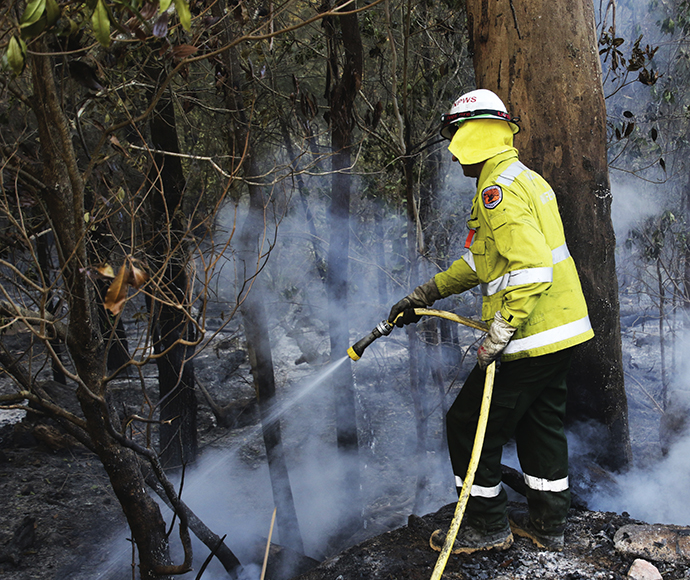
Hazard reduction burning in Trinkey State Conservation Area
The NSW National Parks and Wildlife Service (NPWS) is planning 2 hazard reduction burns in Trinkey State Conservation Area from Wednesday 17 May to Sunday 21 May, weather permitting.
Together the burns will treat 997-hectares in the Conservation Area, located south of Gunnedah just outside the township of Tambar Springs.
Several localised park road closures will be implemented within the Conservation Area during the burn, including Western Boundary Road, Argyle Road and parts of Jungle Road, Trinkey Rocks Road, Lawson Road and Revocation Road.
The burns will reduce naturally accumulated fuel loads in the area and create a mosaic landscape across Reserve.
Both burns will also help to protect park neighbours in the event of a wildfire and safeguard the area's biodiversity and ecological assets.
Visitors should not enter Trinkey State Conservation Area while the burns are underway. Check NPWS Alerts for up-to-date information on these temporary closures.
All NPWS hazard reduction burns are coordinated with the NSW Rural Fire Service to ensure the impact on the community is assessed at a regional level.
People with known health conditions can sign up to receive air quality reports, forecasts and alerts via email or SMS from the Department of Planning and Environment.
For health information relating to smoke from bush fires and hazard reduction burning, visit NSW Health or Asthma Australia.
More information on hazard reduction activities is available at the NSW Rural Fire Service and the NSW Government's Hazards Near Me website and app.