Gwydir Reconnecting Watercourse Country Program

Supporting the health of rivers, watercourses and wetlands.

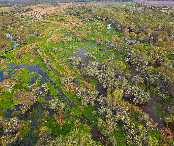
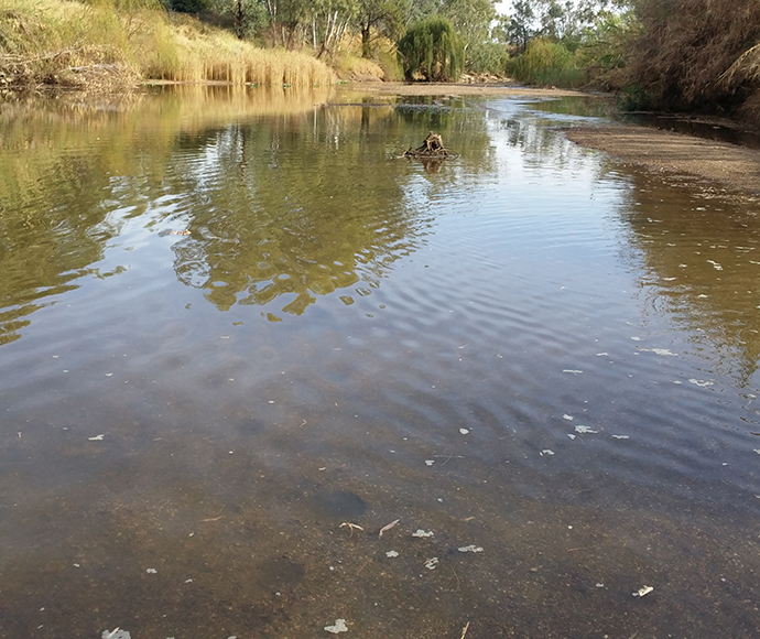
Downstream of Gingham BridgeAbout the program

The Gwydir Reconnecting Watercourse Country Program (previously referred to as the Gwydir Constraints Measures Project) seeks to increase the effectiveness of held environmental water deliveries by implementing a range of measures designed and implemented in partnership with watercourse landholders and the broader community.

The program seeks to:

  • increase the efficiency of water for the environment
  • enable farming and water for the environment to coexist with improved confidence
  • establish water for the environment corridors in partnership with stakeholders
  • improve conservation outcomes
  • identify mutual benefits within the water corridor.

The Gwydir Reconnecting Watercourse Country Program forms part of the Northern Basin Toolkit. These 'toolkit measures' aim to improve the ecological health of northern Basin rivers, while creating jobs and economic activity in rural and regional communities.

It is being funded by the Australian Government and delivered by Water Infrastructure NSW in partnership with the Department of Climate Change, Energy, the Environment and Water.

Program location

The Gwydir Reconnecting Watercourse Country Program has 3 project areas:

  • Gingham Watercourse
  • Lower Gwydir Watercourse
  • Lower Mehi River.

The NSW Government is also funding complementary measures in Ballin Boora Creek.

Gwydir Constraints Measures Project map

Between June and November 2021, the program team, watercourse landholders and property managers, the Gomeroi community and stakeholders worked together to develop business cases to seek Australian Government funding for the 3 projects.

The program team will work with landholders, water managers and other stakeholders to design and implement a variety of measures supporting long-term outcomes for the Gwydir catchment.

Gwydir Reconnecting Watercourse Country Program

Over the next 2 years multiple activities will occur to inform and implement the program. These may include:

  • landholder group gatherings, focus groups and one-on-one design meetings
  • regular updates and communications
  • on-ground surveys
  • cultural assessments
  • hydraulic and hydrologic modelling
  • measures development and negotiations
  • design and construction.

Rivers and wetlands play a vital role in sustaining healthy communities and economies. Healthy rivers carry water to homes, farms, schools and businesses. Along the way, they nourish entire ecosystems and provide important habitat for native plants and animals. The benefits of healthy rivers extend well beyond the riverbank.

By creating water for the environment corridors in the Gwydir catchment, we can enhance the outcomes of environmental watering and improve the efficiency of environmental water deliveries.

Additional benefits may include:

  • improved knowledge of flow passage and inundation extent
  • improved subsoil moisture along the flow path
  • improved access to farmland
  • flows that support native grass species to out-compete weed species
  • potential for more feed on private property.

The program will improve the passage, flow and distribution of moderate-sized flow events in the Lower Gwydir and Gingham watercourses. This means:

  • flow duration and timing will better match wetland requirements
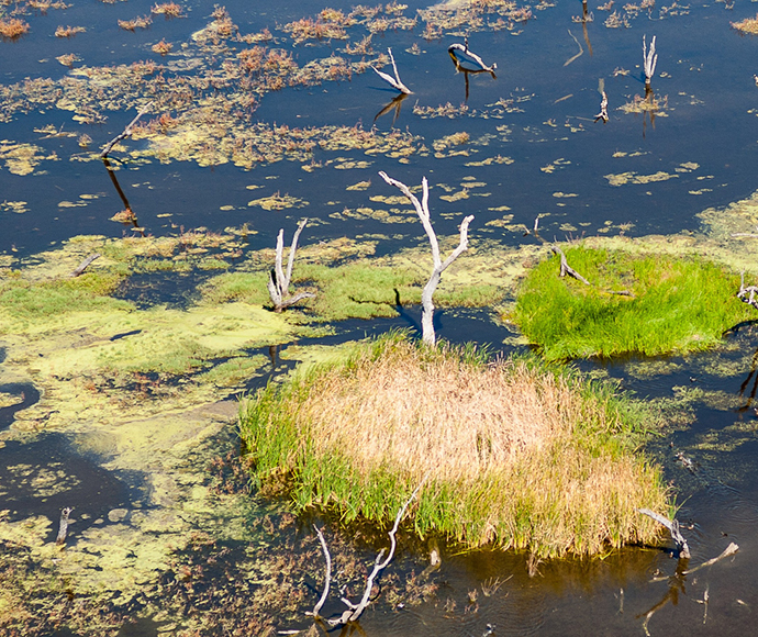
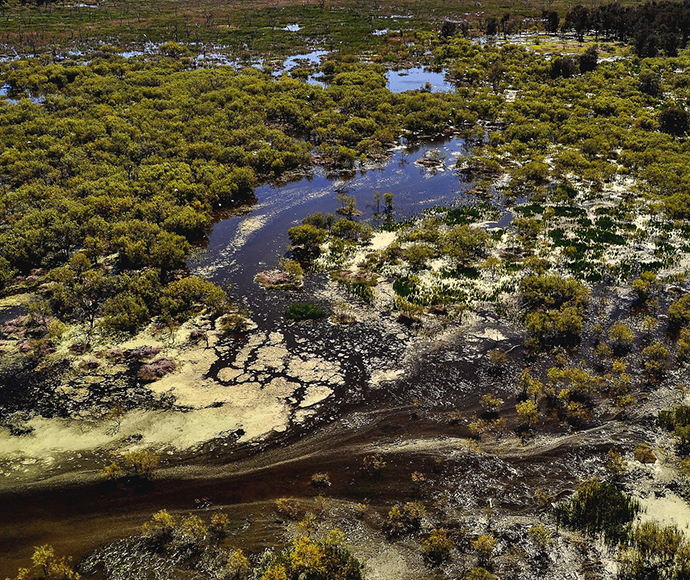
  • greater volumes of water will reach downstream Ramsar-listed wetlands
  • watercourses and rivers will be reconnected with dominant flow paths.

The program will also improve baseflows in the Ballin Boora Creek and Lower Mehi River. This will enhance the effectiveness of held environmental water deliveries reaching water-dependent environmental assets in these systems and improve connectivity and the capacity to deliver water from the Gwydir catchment to the Barwon-Darling river system.

Improvements to the delivery of baseflows and moderate-sized flow events are expected to significantly contribute to ecological outcomes for native fish, waterbirds, native vegetation, ecological functions and other species in line with Murray-Darling Basin Plan targets.

For example, the project is expected to:

  • support instream and floodplain productivity
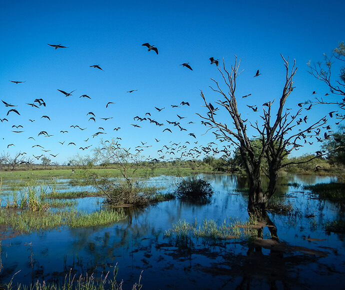
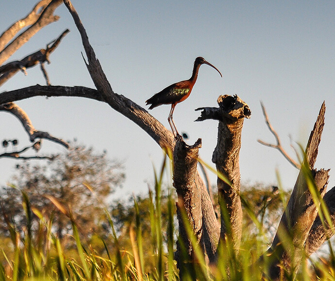
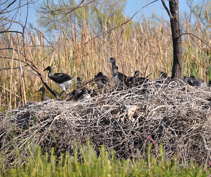
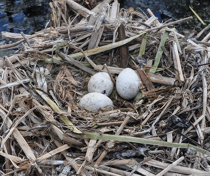
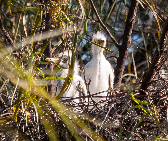
  • maintain and improve waterbird habitats
  • sustain native fish populations
  • maintain the extent and viability of flood-dependent vegetation.

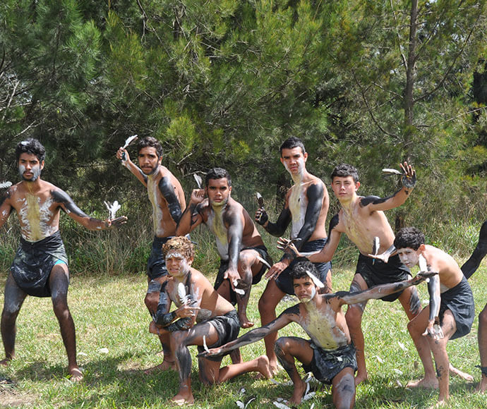
We recognise and acknowledge the unique relationship and deep Connection-to-Country First Nations people have as the Traditional Owners and First Peoples of Australia.

The wisdom and experience of First Nations communities will play a critical role in supporting our approach. We have a dedicated engagement team who will guide our engagement with these communities, and we look forward to working with them to deliver real, tangible and widely accepted outcomes.

The Northern Basin Toolkit is a collection of projects, or 'toolkit measures', supporting a 70 GL reduction in water recovery targets in the northern Basin rivers under the Murray-Darling Basin Plan.

The Toolkit is a $180 million investment to improve the ecological health of northern Basin rivers through environmental infrastructure works and measures identified in the Northern Basin Review.

Find out more

Join our Gwydir Reconnecting Watercourse Country Program mailing list to receive information on community meetings, newsletters, and other information at different program stages.

The information you provide in this form will only be used for the purpose for which it was collected. By submitting, you consent to storage, use, and disclosure of your personal information in accordance with our privacy policy. You can request access and amendment of your personal information.

Subscribe