Myall River is located on the mid-north coast of New South Wales. It is classed as a lake because it connects a series of large estuarine lakes (Myall Broadwater and Myall Lake) and flows into Port Stephens before it reaches the sea.
Water quality
As part of our water quality monitoring program we assess the water quality and ecosystem health of an estuary using a range of relevant indicators. We sample 2 sites on a monthly basis over summer in Myall River as part of a collaborative program with MidCoast Council.
The most recent sampling was completed over the 2022–23 summer. The results of the monitoring program, including a detailed water quality report card for Myall River, are available on the MidCoast Council website.
Go to estuary report cards to find out what each grade means, read our sampling, data analysis and reporting protocols, and find out how we calculate these grades.
Physical characteristics
| Estuary type | Lake |
|---|---|
| Latitude (ºS) | –32.67 |
| Longitude (ºE) | 152.15 |
| Catchment area (km2) | 818.7 |
| Estuary area (km2) | 115.2 |
| Estuary volume (ML) | 448,257.7 |
| Average depth (m) | 4 |
Tidal exchange volume
Tidal exchange volume or tidal prism data is available for this estuary. This tidal prism was measured in 2009.
| Tide state | Flow (ML) | Local tidal range (m) | Sydney Harbour tidal range (m) |
|---|---|---|---|
| Ebb flow | 4,820 | 1.14 | 1.02 |
| Flood flow | 5,310 | 1.13 | 1.02 |
Notes: km2 = square kilometres; m = metres; m3 = cubic metres; ML = megalitres.
Water depth and survey data
Bathymetric and coastal topography data for this estuary are available in our data portal.
Land use
Most of the area surrounding Myall River estuary is undisturbed and protected within Myall Lakes National Park. In the upper Myall River catchment, grazing and urban development associated with the town of Bulahdelah have changed around 18% of total land use.
National and marine parks
- Myall Lakes National Park is the largest conservation area within the Myall River catchment and is also one of the busiest national parks in New South Wales.
- This estuary forms part of the Port Stephens–Great Rivers Marine Park.
Community involvement
- Karuah and Great Lake Landcare is an umbrella group for natural resource management groups and volunteers in the greater Myall Lakes region and helps coordinate environmental projects such as improving catchment water quality, monitoring sea grass and pest animal and weed control.
- The Hawks Nest and Tea Gardens Bitou Busters are volunteers who regularly control weeds around the lower Myall River, raise awareness about the environment, including native plants and animals, in the local community.
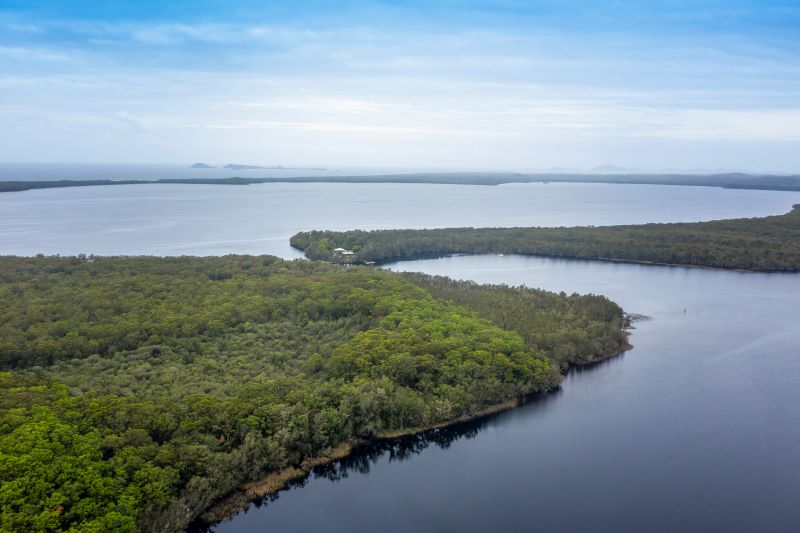
Myall River is a series of large estuarine lakes.
Local government management
Local councils manage estuaries within their area. Where an estuary is attached to a marine park, marine park management teams are responsible for ensuring compliance with marine park zoning.
Mid Coast Council manages this estuary, which is located in Port Stephens Great Lakes Marine Park.
Threatened species
The Myall River catchment includes habitat for koalas and contains the endangered Hawks Nest and Tea Gardens koala population.
Read more about the biodiversity in our estuaries.