Hazard reduction burn in Brisbane Water National Park near Kariong on Saturday
This Saturday (9 March) the NSW National Parks and Wildlife Service (NPWS) will undertake a hazard reduction burn in Brisbane Water National Park to protect homes in Kariong.
Smoke may be seen from the nearby M1 Motorway, Central Coast Highway, Woy Woy Road, Brisbane Water Drive and residential areas of Kariong, Point Clare and Tascott.
The 30 ha burn is the first stage of a larger 147 ha burn which will reduce naturally accumulated fuel in the park to help protect residential areas in Kariong from future bushfires.
The burn will be south-east of Kariong and is scheduled to start at 10 am Saturday, with mop-up and patrol continuing through to Monday.
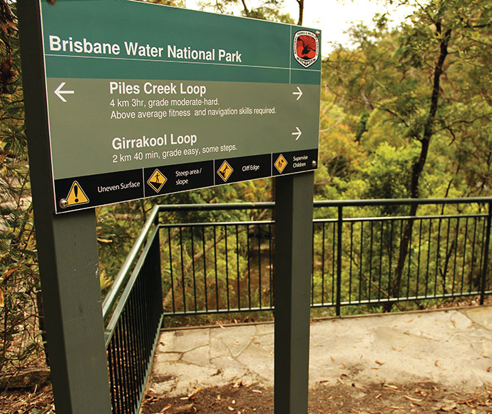
Closures will be in place on Bambara Road, Corrumbine Creek, Koolewong, Lyre Trig and Milyerra fire trails as well as informal walking tracks for the duration of the burn. The tracks and trails will be reopened once the area is deemed safe.
People vulnerable to smoke are encouraged to stay indoors and keep doors and windows closed to reduce exposure.
Hazard reduction burns are essential to reduce bushfire fuel loads to help protect parks, neighbours and communities from future bushfires.
This burn is one of many hazard reduction operations undertaken by NPWS each year, many with assistance from the Rural Fire Service and Fire and Rescue NSW.
All burns around the state are coordinated with the NSW Rural Fire Service to ensure the impact on the community is assessed at a regional level.
People with known health conditions can sign up to receive air quality reports, forecasts and alerts via email or SMS from the Department of Climate Change, Energy, the Environment and Water.
For health information relating to smoke from bush fires and hazard reduction burning, visit the NSW Health website or Asthma Australia.
More information on hazard reduction activities is available at NSW Rural Fire Service and the NSW Government Hazards Near Me website and app.