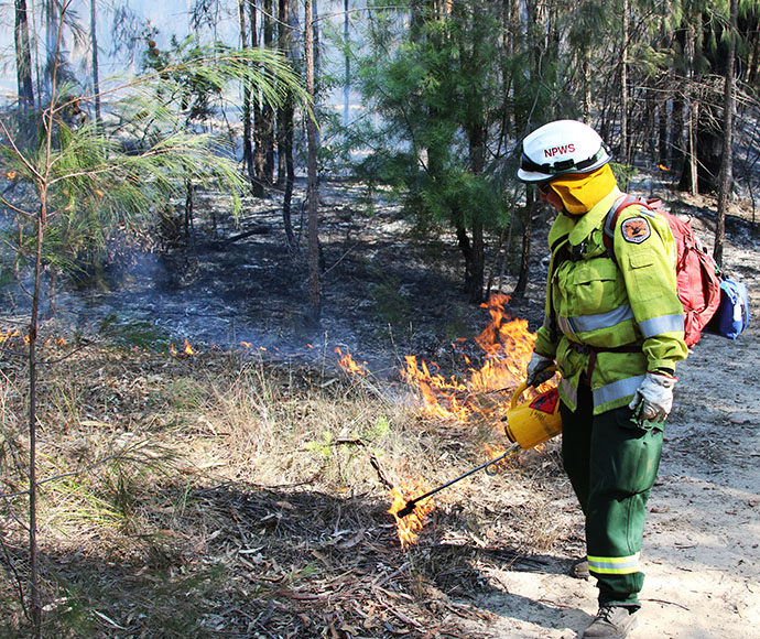
Hazard reduction burning in Mimosa Rocks National Park
The NSW National Parks and Wildlife Service (NPWS) is planning a hazard reduction burn in Mimosa Rocks National Park from Tuesday 16 May, weather permitting.
The 54-hectare burn, just west of the township of Tanja, will be undertaken in the Sandy Creek area of the park between Worlands Road and north of Dr George Mountain Road.
The burn will reduce naturally accumulated fuel loads in the area to help protect park neighbours and the Tanja community the event of a wildfire.
The burn also aims to protect the park's biodiversity and ecological assets.
Traffic control will be in place along Dr George Mountain Road from tomorrow so motorists should use caution and follow directions of traffic crew.
All roads and fire trails within this section of Mimosa Rocks National Park will be closed from Tuesday (16/5), including Sandy Creek Fire Trail and part of Worlands Road.
Visitors should not enter these areas until it is assessed as safe and reopened by NPWS, and check NPWS Alerts for up-to-date information on these temporary closures.
Smoke may be visible in the National Park and from surrounding areas and motorists should use caution when driving on Dr George Mountain Road and Tathra-Bermagui Road.
All NPWS hazard reduction burns are coordinated with the NSW Rural Fire Service to ensure the impact on the community is assessed at a regional level.
People with known health conditions can sign up to receive air quality reports, forecasts and alerts via email or SMS from the Department of Planning and Environment.
For health information relating to smoke from bush fires and hazard reduction burning, visit NSW Health or Asthma Australia.
More information on hazard reduction activities is available at the NSW Rural Fire Service and the NSW Government's Hazards Near Me website and app.