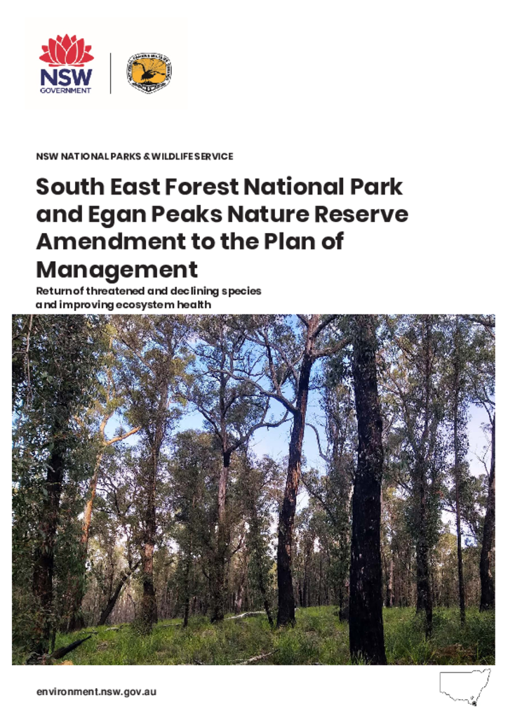
This amendment to the South East Forest National Park and Egan Peaks Nature Reserve Plan of Management will ensure the objects of the National Parks and Wildlife Act can be achieved.
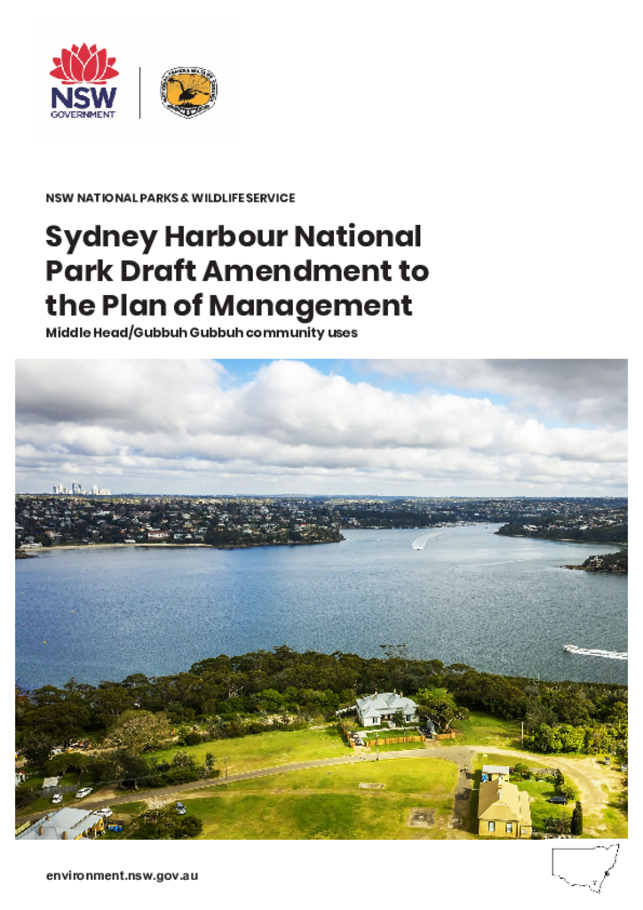
The draft amendment proposes changes to the Sydney Harbour National Park Plan of Management that will enable the development of a proposed environmental education centre to be considered within the Middle Head - Gubbuh Gubbuh precinct.
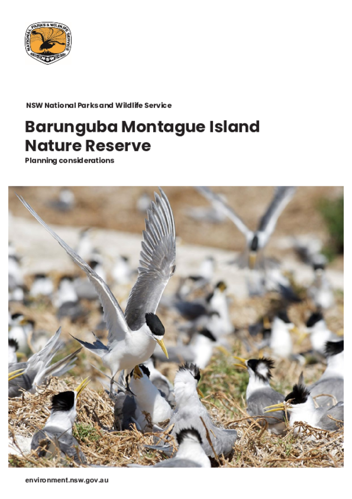
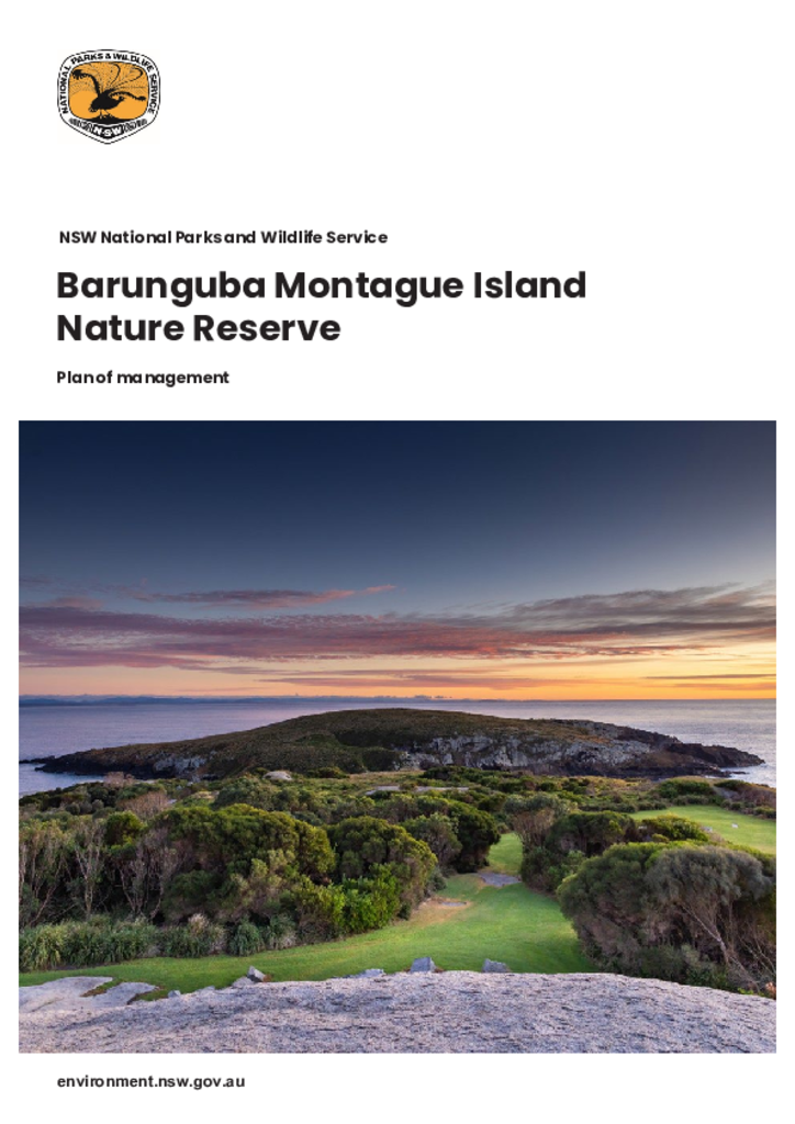
Barunguba Montague Island Nature Reserve is located on Barunguba Montague Island, an island in the Tasman Sea, approximately 9 km south-east of Narooma, off the Far South Coast of New South Wales.
Barunguba Montague Island Nature Reserve is located on Barunguba Montague Island, an island in the Tasman Sea, approximately 9 km south-east of Narooma on the Far South Coast of New South Wales.
Mugii Murum-ban State Conservation Area (3,924 hectares) is located 40 kilometres north of
Lithgow and 3 kilometres north-east of Capertee and was reserved on
4 March 2011.
Statement of management intentMugii Murum-ban State Conservation Area
Beowa National Park and Bell Bird Creek Nature Reserve are located on the far south coast of New South Wales. The national park has an area of 10,485 hectares and is comprised of 3 sections: large areas north and south of Eden and a much smaller area north of the Pambula River. The nature reserve lies adjacent to the central section of the park and covers 53 hectares.
Dorrigo Arc Rainforest Centre is a new, modern, international-standard visitor centre located in Dorrigo National Park and within the Gondwana Rainforests of Australia World Heritage property.
Review of environmental factorsDorrigo National Park
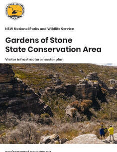
This master plan seeks to establish the park as a major sustainable visitor destination, delivering economic, social and community benefits for the Lithgow region. It is focused on balancing sustainable recreational and commercial use with natural and cultural values, while enhancing biodiversity and conservation outcomes across the Gardens of Stone State Conservation Area.