Search
News
05 Apr 2024
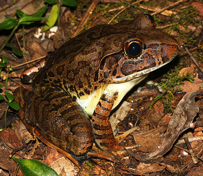
NSW Threatened Species Scientific Committee final determination: Giant barred frog Mixophyes iteratus | News
NSW Threatened Species Scientific Committee final determination
News
24 May 2024
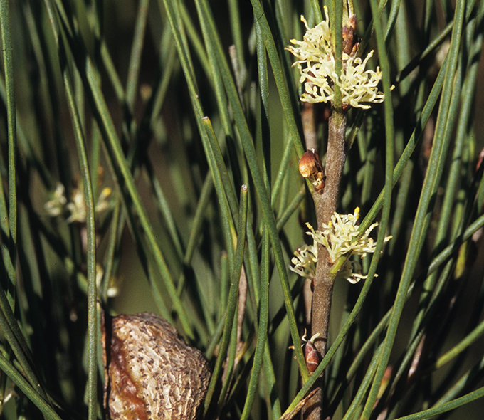
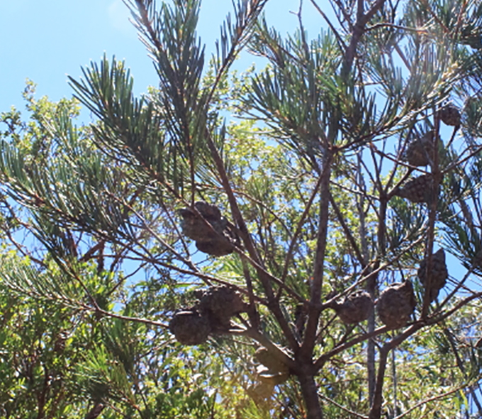
NSW Threatened Species Scientific Committee final determination: Hakea dohertyi Haegi | News
NSW Threatened Species Scientific Committee final determination
News
24 May 2024
NSW Threatened Species Scientific Committee final determination: Hakea macrorrhyncha W.R. Barker | News
NSW Threatened Species Scientific Committee final determination
News
24 May 2024
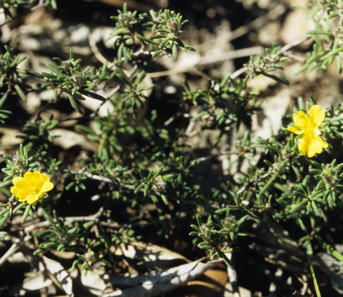
Hibbertia praemorsa Toelken - NSW Threatened Species Scientific Committee final determination | News
Hibbertia praemorsa Toelken, a shrub has been listed as an endangered species.
News
24 May 2024
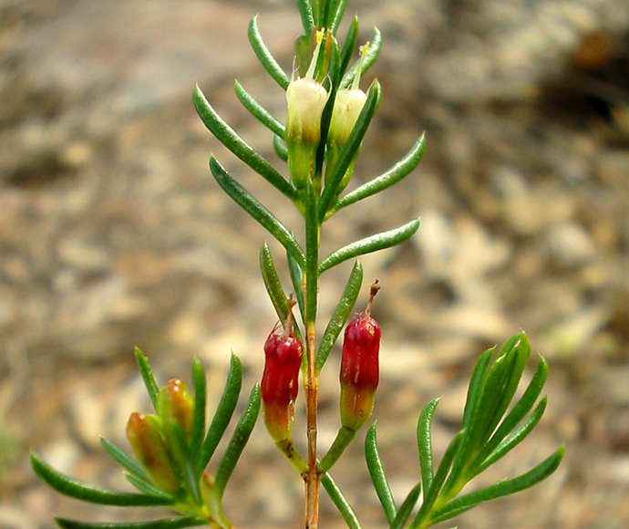
NSW Threatened Species Scientific Committee final determination: Hibbertia superans Toelken | News
NSW Threatened Species Scientific Committee final determination
News
05 Apr 2024
NSW Threatened Species Scientific Committee final determination: White-throated needletail Hirundapus caudacutus | News
NSW Threatened Species Scientific Committee final determination
News
05 Apr 2024
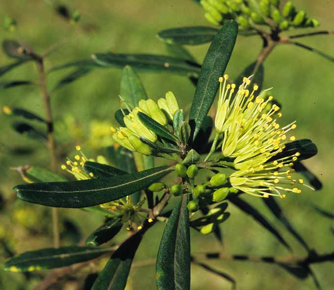
NSW Threatened Species Scientific Committee final determination: Homoranthus croftianus | News
NSW Threatened Species Scientific Committee final determination
News
28 Jun 2024
NSW Threatened Species Scientific Committee final determination: Leionema scopulinum | News
NSW Threatened Species Scientific Committee final determination
News
24 May 2024
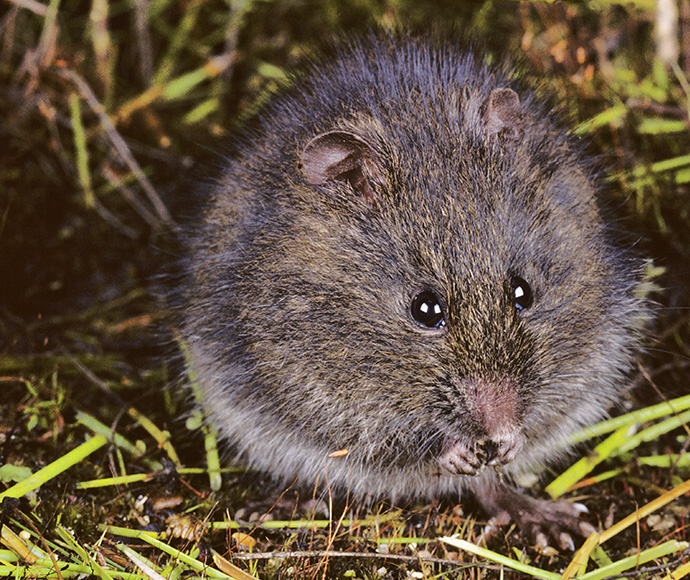
NSW Threatened Species Scientific Committee final determination: Mastacomys fuscus mordicus Thomas, 1922 broad-toothed rat | News
NSW Threatened Species Scientific Committee final determination
News
24 May 2024
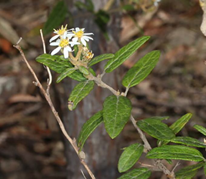
NSW Threatened Species Scientific Committee final determination: Olearia rugosa subsp. distalilobata Hawke ex Messina | News
NSW Threatened Species Scientific Committee final determination