Search
News
05 Apr 2024
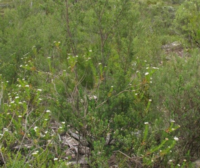
NSW Threatened Species Scientific Committee final determination: Pomaderris gilmourii N.G.Walsh var. gilmourii | News
NSW Threatened Species Scientific Committee final determination
News
19 Apr 2024
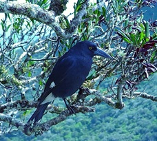
NSW Threatened Species Scientific Committee final determination: Lord Howe pied currawong Strepera graculina crissalis | News
NSW Threatened Species Scientific Committee final determination
Content page
07 Dec 2022
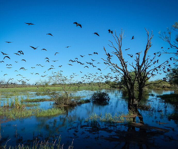
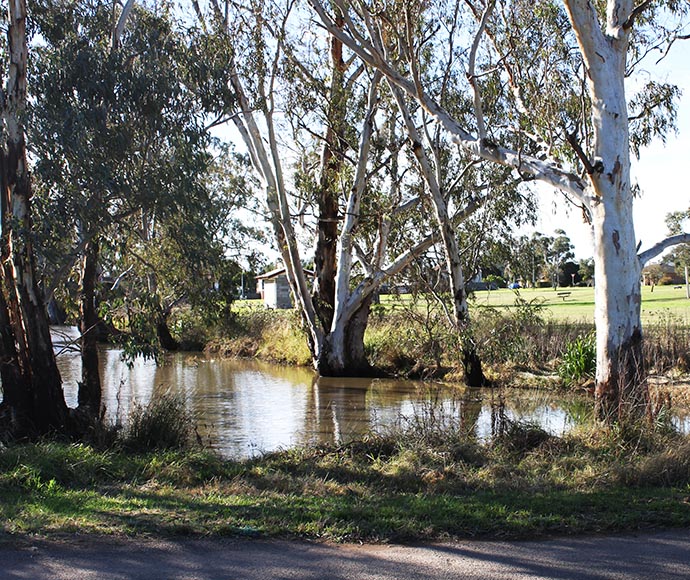
Gwydir valley | Water for the environment
The Gwydir is home to a mosaic of wetlands, from marshes and shallow waterholes to broader floodplain woodlands inundated only during significant flooding.
Content page
04 Jul 2024
Stream 4: Grants awarded and project summaries | Funding and support
This program stream (stream 4) funds infrastructure to raise the quality of recycled organic materials.
Content page
18 Mar 2024
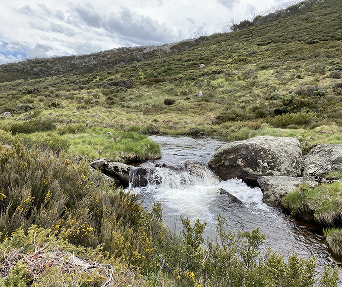
Snowy and montane rivers | Water for the environment
The Snowy River is the largest snowmelt river in Australia, naturally flowing from Mount Kosciuszko in New South Wales to the Southern Ocean at Marlo in Victoria.
Content page
24 Sep 2024
Environmental research: Grants awarded and project summaries | Funding and support
This program provides funding for applied research in priority environmental themes to help address contemporary environmental problems in New South Wales.
Content page
17 Apr 2023
Hunter-Paterson | Water for the environment
The Hunter catchment supports a diversity of landscapes, from coastal dunes to sub-alpine forests and lowlands plains woodlands.
Content page
01 Jul 2024
Environmental Restoration and Rehabilitation: more information for applicants | Funding and support
Government agencies and non-government bodies can help you develop your grant application.
Content page
23 Feb 2024
Intersecting Streams | Water for the environment
The Intersecting Streams catchment is in north-western New South Wales and covers an area of 120,431 square kilometres on the north, north-west and south-eastern side of the Barwon-Darling River.
Content page
25 Jul 2023
Landfill Consolidation and Environmental Improvements grants awarded and project summaries | Funding and support
This program helps local government make environmental improvements to landfill sites or close and consolidate them.